This copy is for your personal, non-commercial use only. Distribution and use of this material are governed by our Subscriber Agreement and by copyright law. For non-personal use or to order multiple copies, please contact The Epoch Times Reprints.
Residents were told to shelter at the police station, health facility or dozens of dwellings capable of withstanding a category three system.
‘As it makes landfall that’s when we will see the most intense impacts.’

We will see the wind speed really start to ratchet up around the ex-tropical cyclone through the course of the second half of this week

The weather system is barrelling towards Western Australia and should cross the border near Halls Creek as it tracks towards the coast.

About 16 houses in the South Gippsland community of Mirboo North were so extensively damaged by Tuesday’s wild storms that they can no longer be lived in.

The bureau said the system was a 40 percent chance of becoming a cyclone on Feb. 16.
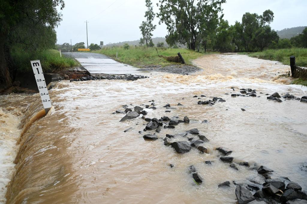
Much of the state was hit with 30mm to 50mm, noting 86mm was recorded at Kiama on the south coast and 64mm at Orange.
‘It was the straw that broke the camel’s back for many in some ways.’

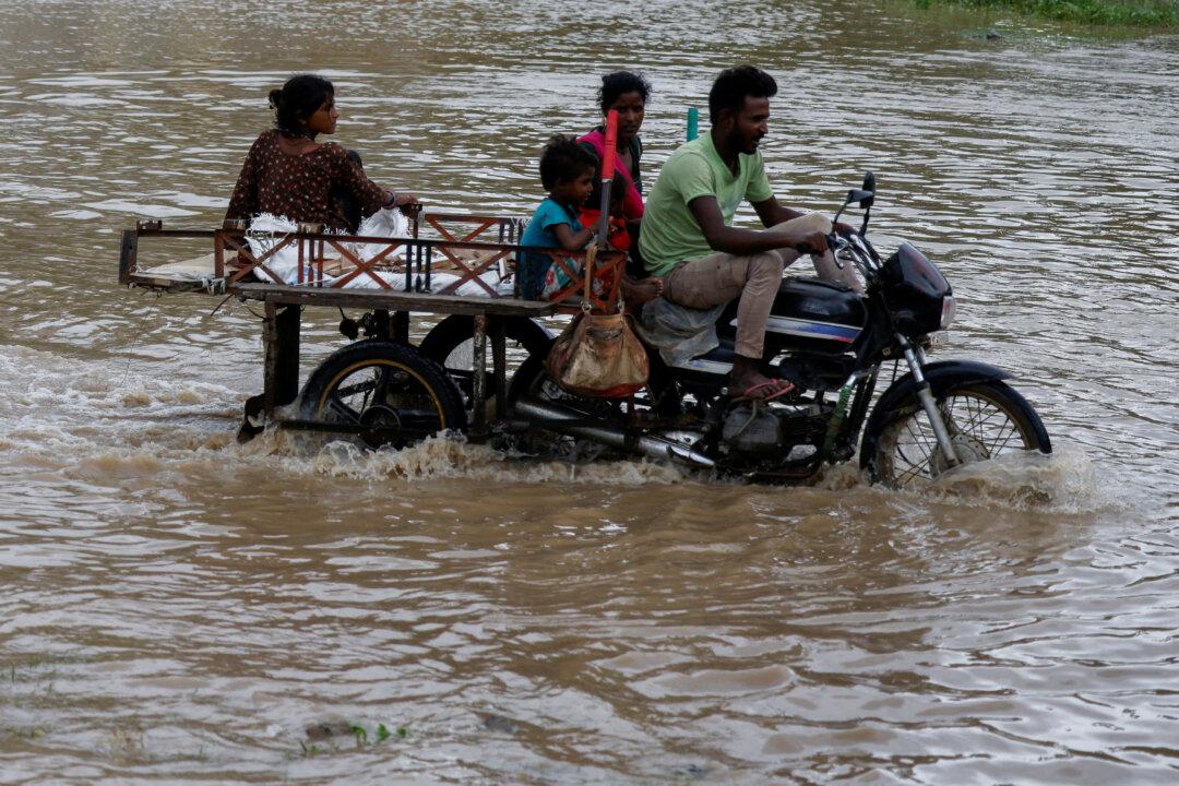
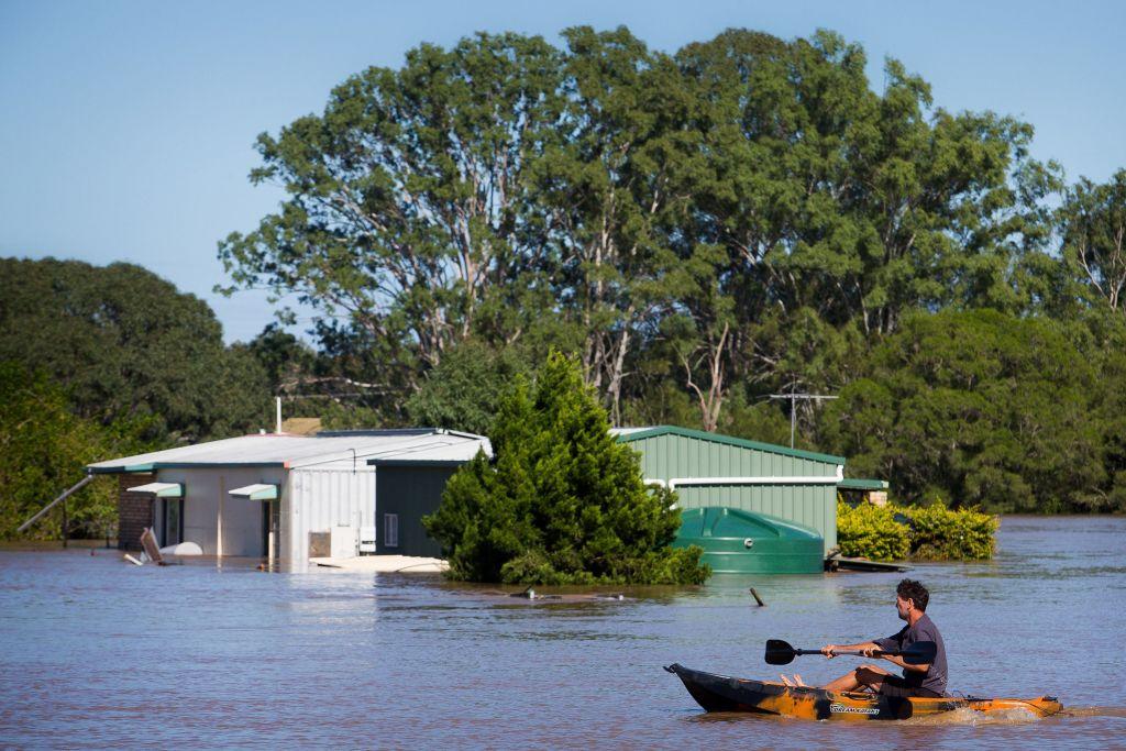
‘We walked out onto the driveway as the lights were out and the water was already armpit level high.’

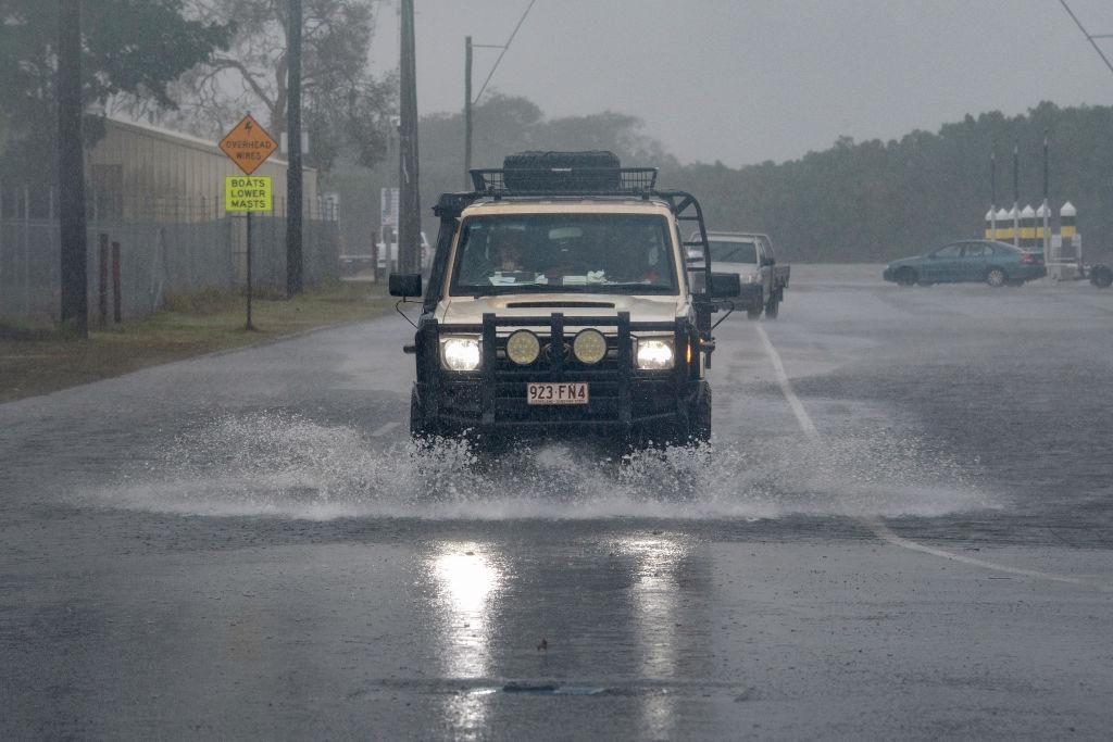
Thousands lost power, more than 20 schools were closed, roads were cut and 39 swiftwater rescues were completed as severe weather lashed the area on Jan. 30.
Days after Kirrily crossed the coast, the former cyclone is still making its presence felt with widespread rain lingering in the state’s northwest.
Authorities have now begun the process of restoring power to tens of thousands of homes and businesses.
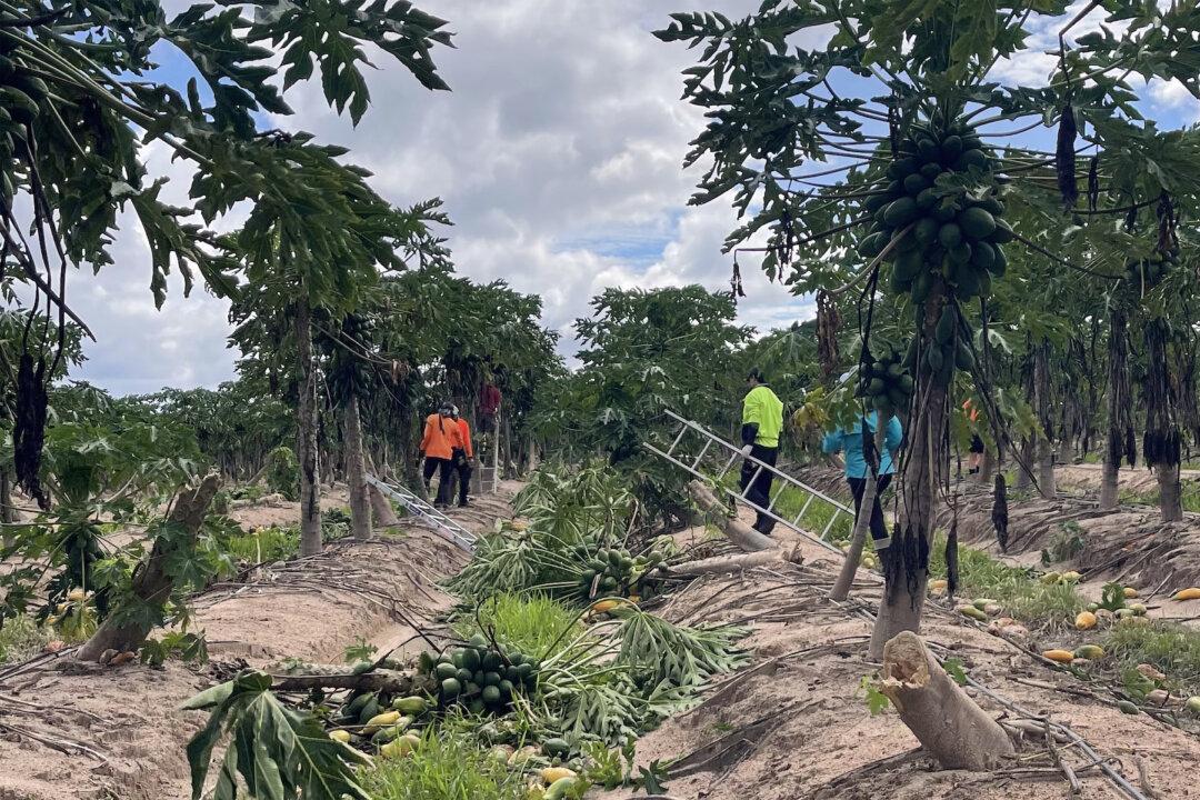
It is believed to be the strongest cyclone to hit the region since Cyclone Althea devastated north Queensland in 1971.
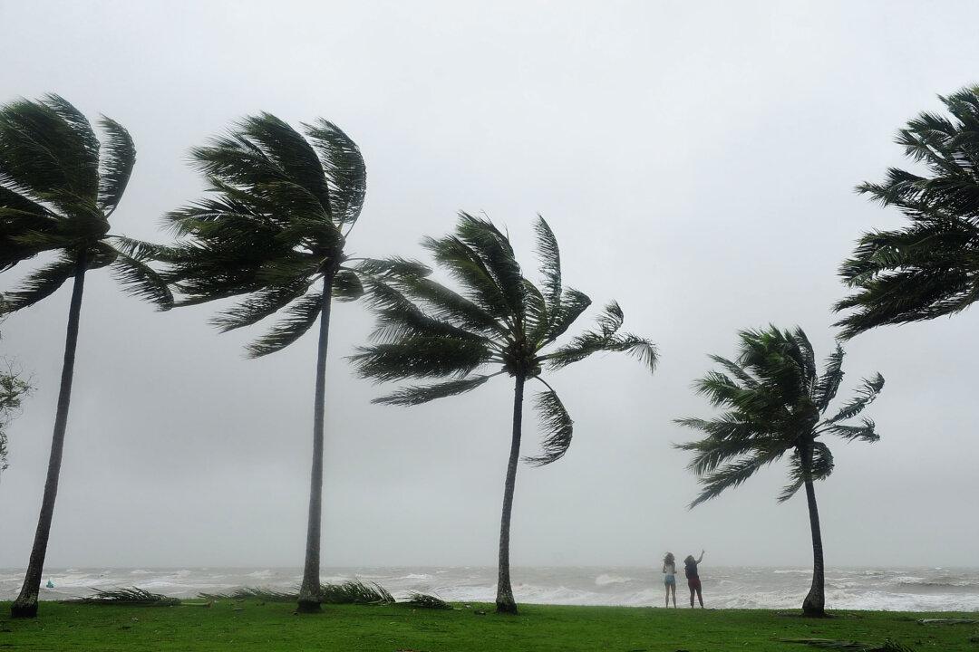
‘We still are expected to see significant impacts from these winds.’
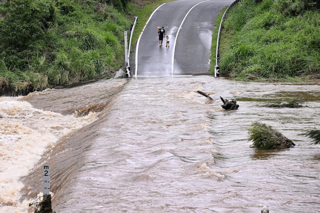
‘We are expecting catchments to respond reasonably quickly, especially in areas that have already been flooding.’

It is likely to approach the Queensland coast as a severe cyclone into Thursday but there is still some uncertainty about where it will make landfall.
‘It’s a good time for Queenslanders in that part of the coast ... to prepare for the cyclone.’