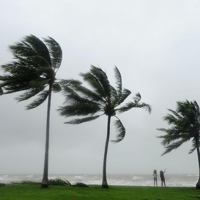
The “last hurrah” for ex-tropical cyclone Kirrily is finally approaching as another threat looms.
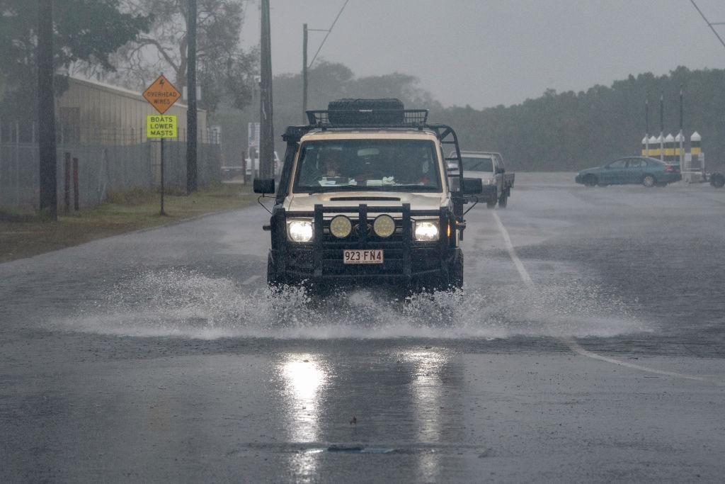
A week after making landfall, ex-Kirrily is still hammering flood-hit Queensland regions with heavy rain and damaging winds.
As another cyclone threatens to form off the Queensland coast, ex-Kirrily’s impact continues to be felt in the northwest with roads cut and properties inundated.
It intensified as it lingered on Feb. 2, with Mornington Island losing power after copping gales exceeding 100km/h for 18 hours while 334mm of rain was recorded near Burketown.
Burke Shire Mayor Ernie Camp said the remote community was still reeling from “unprecedented” flooding that devastated the region in March 2023.
“They are still mentally drained after what was an extraordinary event,” he told AAP.
“It was the straw that broke the camel’s back for many in some ways.
“People here are now on tenterhooks.
“Their resilience is being tested.”
Northwest regions already battling flooding are now preparing for another soaking in the coming days.
The system is near Doomadgee and expected to gather momentum as it moves south, bringing yet more rain as it tracks along the Queensland-Northern Territory border at the weekend.
“There are already flood warnings out for most of the rivers after its first journey through the northwest - now it is coming back for a second pass,” a Bureau of Meteorology spokesman said.
“It’s rainfall on already swollen rivers.”
However, the system is finally set to weaken in the coming days.
“By Tuesday (Feb. 6) next week it should weaken and fold into a trough (in NSW), potentially increasing shower and storm activity down there as a last hurrah,” the bureau spokesman said.
The northwest’s main roads - the Landsborough and Flinders Highways - have been hit by flooding while Mount Isa has been without fresh food for about a week.
Rail networks are affected and graziers impacted, with Federal Emergency Management Minister Murray Watt visiting the northwest on Feb. 2 amid fears of livestock losses.
Hardship payments have already been made available to the northwest’s flood-hit Kynuna and McKinlay with more communities expected to benefit.
Mr. Camp said more state and federal funding was needed to improve the northwest’s infrastructure.
He said Doomadgee had been cut off for six months by floods in the past and was again looking at a lengthy period of isolation.
“We need more resilient infrastructure in the area so supplies are not cut off,” he said.
“There is a bit of concern that if we don’t have more development of our road infrastructure, especially level crossings, we will see young families move way - it’s affecting them mentally.”
While Queensland could soon farewell ex-Kirrily, another tropical cyclone could be set to arrive.
A weak low is situated off the Queensland coast in the Coral Sea and is a moderate or “25 per cent chance” of developing into a cyclone by Feb. 8.
It is expected to develop in Fijian waters but is a chance of tracking back toward the Queensland coast.
“There is quite a bit of uncertainty as to where it might move,” the bureau spokesman said.
“But at the end of next week, if it is approaching the Queensland coast it may move into an area that is favourable to form a cyclone.”