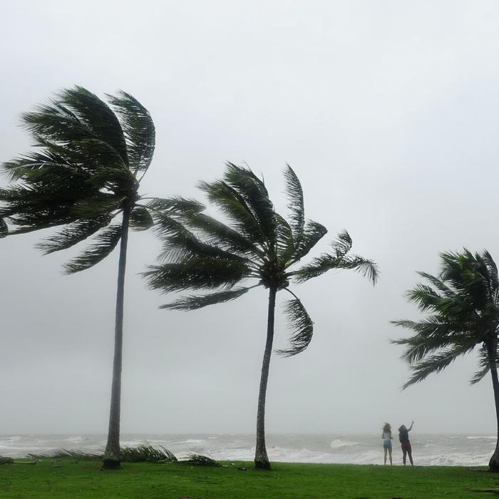
Ex-cyclone Kirrily has finally left Australia after dumping several months worth of rain in New South Wales (NSW) while the flood emergency remains in parts of Queensland.
Some 86 millimetres fell at White Cliffs in northwestern NSW in the 24 hours to 9am on Tuesday - four times the February average, according to Bureau of Meteorology senior metrologist Dean Narramore.
He said much of the state was hit with 30mm to 50mm, noting 86mm was recorded at Kiama on the south coast and 64mm at Orange.
“[It was] widespread soaking rainfall, some of those fell in quick time, which led to localised flash flooding particularly around the White Cliffs area,” Mr. Narramore told AAP.
The SES rescued two people from cars at Albion Park on the south coast and one at Campbelltown, with volunteers called to 174 incidents in 24 hours.

The Warragamba Dam in the Blue Mountains is at 97 per cent capacity, up from 94 per cent on October.
“Given conditions across the catchment are quite dry due to the recent heat, much of the latest rain has absorbed into the soil, rather than run into the dam,” Water NSW said in a statement.
Thirteen flood warnings remain active in Queensland after widespread heavy rainfall in the past week.
Major warnings have been issued for the state’s northwest at the Burketown airstrip following rapid river rises at the weekend, and for Walkers Bend along the Flinders River.
Major alerts are also in place for towns along the Moonie and Balonne rivers in southeast Queensland.
Mr. Narramore said the area of greatest concern was Burketown, which was expected to reach flooding of 6.5 metres on Tuesday evening, Feb. 6.
“It’s not going to be as bad as what we saw in 2022 where we saw it reach over seven metres but still, any flooding is bad flooding and definitely going to impact Burketown,” he said.
He expected showers and thunderstorms in northeast NSW, southeast Queensland and northern Queensland in coming days, but said the conditions were still considered “typical wet season” activity for this time of year.
The Bureau says Queensland experienced the wettest January in 20 years and the second largest monthly average rainfall since 2010.
NSW also experienced above average rainfall in January, almost 30 per cent higher than the long-term average.