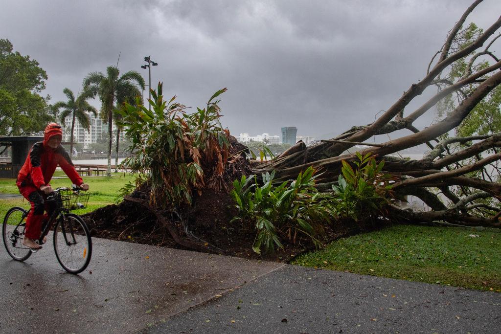
Roads have been cut and properties may be isolated for months after heavy rain caused by ex-Tropical Cyclone Kirrily continues to lash Queensland.
Days after Kirrily crossed the coast, the former cyclone is still making its presence felt with widespread rain lingering in the state’s northwest.
South of Cloncurry was one of the worst hit, with Seymour Gap receiving 256mm in 24 hours, while 244mm fell at Kirby.
Further south at Winton, all roads are cut with some properties set to be isolated for up to two months due to floodwaters.
Winton Mayor Gavin Baskett isn’t complaining.
“I am not anti-flood. The whole shire, all the graziers, feel that rain is gold out here,” he told AAP.
“Rain and floods are our lifeblood out here, that’s what drenches the country and grows the grass, keeps our rural industry going.
“In general the houses are all safe so that’s why I can sit back and enjoy a flood.”
Some areas west of Winton have received 450mm since the weekend - with more to come.
The Bureau of Meteorology said the ex-tropical cyclone was expected to linger between Mount Isa and Longreach for the next few days.
“It is largely stationary within that area and is expected to stay that way for a couple of days at least,” a bureau spokesperson told AAP.
“Beyond that the movement is a bit uncertain, it may drift north or west at this point but it’s likely to continue having an impact through that inland Queensland area for most of the week.”
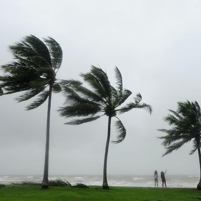
Widespread rain and thunderstorms are set to bring flood impacts to large parts of Queensland over the coming days.
Flood warnings are current for central and southeast Queensland, and the bureau warns “that could increase in the coming days”.
Flood watches have been issued for parts of western Queensland and much of the state’s central and southeast as well as NSW’s northeast.
Rainfall in those areas could lead to flash or riverine flooding in the next 48 hours.
“In the worst case it could lead to inundation of homes, properties, businesses and agricultural land,” the bureau said.
Widespread rain and thunderstorms are forecast for much of southeast Queensland and northern NSW on Jan. 30, moving slowly north, with isolated falls of up to 300mm predicted.
Crews are still working to restore electricity for north Queenslanders left without power after Kirrily crossed the coast three days ago.
About 1000 were expected to be still without electricity on Monday night, Jan. 29.
Community recovery hubs have been set up to provide financial assistance and emotional support in Ayr, Bluewater and Townsville.
Kirrily struck barely a month after Tropical Cyclone Jasper caused record flooding that devastated the far north.
Heavy rain also fell at the weekend in the Lockyer Valley, west of Brisbane, and the Central Highlands, with the bureau issuing flood warnings for numerous rivers.
The RACQ LifeFlight Rescue helicopter crew airlifted a woman in labour to safety after she became trapped in floodwaters in the Lockyer Valley on Jan. 28.