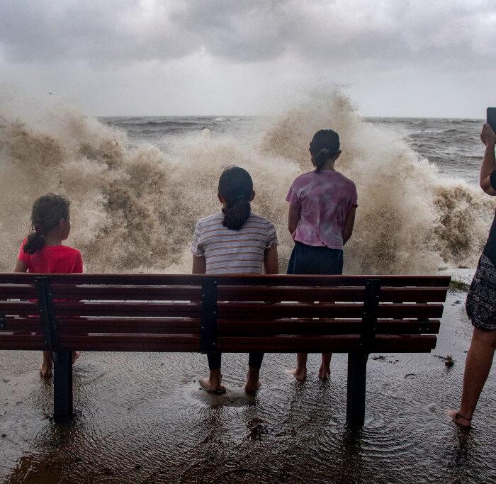
A severe tropical cyclone forming off the Queensland coast might be more destructive than the system that devastated the far north barely a month ago.
North Queensland is bracing for a category three cyclone to make a “severe impact” when it crosses the coast as early as Wednesday, with winds of 120km/h predicted.
Tropical Cyclone Kirrily is set to develop in the Coral Sea by Jan. 23 and strengthen before it hits the coast, with north Queensland in the firing line.
“We have issued a tropical cyclone watch, meaning we could see impacts within 48 hours along the coast of Queensland,” the Bureau of Meteorology’s Laura Boekel said.
“The watch is current from Ayr to St Lawrence, that includes Mackay and the Whitsunday Islands as well.”
More heavy rain and flooding is threatening to impact the far north just weeks after it was devastated by record flooding caused by Tropical Cyclone Jasper, which was a category two system when it arrived.
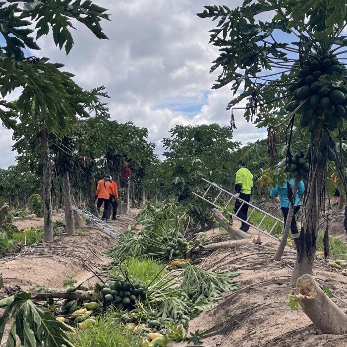
“Any rainfall, specifically in that Cairns, Daintree area where we’ve seen flooding ... the catchments have not had any time to dry out,” Ms. Boekel said.
“We are expecting catchments to respond reasonably quickly, especially in areas that have already been flooding.”
Residents have been urged to prepare by charging their phones, ensuring they have food to last three days and to monitor weather and emergency updates.
“This isn’t the time to be complacent. We’ve got a potential severe tropical cyclone approaching the coast,” state disaster coordinator Shane Chelepy said.
Cairns Mayor Terry James warned against residents being idle with king tides forecast this week.
“Weather systems are unpredictable and while its [cyclone’s] forecast track suggests an impact south of Cairns, it is a timely reminder to residents that we are still in the wet season and we need to be prepared at all times,” he said.
By Jan. 26 the system is expected to become a rain depression, triggering heavy inland falls that may track toward southeast Queensland.
Premier Steven Miles said his biggest concern was fatigue for emergency services volunteers who dealt with Jasper’s aftermath and wild storms that lashed the southeast over Christmas.
“They continue to work on recovery from those two prior events so we'll be carefully making sure that they have the support and resources that they need.” he said.
A category one system is already in Australian waters, Cyclone Anggrek.
It is about 570km west of the Cocos Islands, off Western Australia’s coast.
Anggrek is expected to move west out of Australian waters on Jan. 23.
The Northern Territory is also in recovery mode after heavy rainfall, record flooding, road closures and evacuations were caused by a tropical low that has moved into WA’s Kimberley region.
Floodwaters are set to recede this week after widespread falls of up to 200mm.
The Victoria and Daly River catchments had significant rises, with the former exceeding 1991 record levels.
The Pigeon Hole community has been evacuated while Yarralin is set to be isolated by floodwaters for up to a week.
More than 60 medically vulnerable people were evacuated from Pigeon Hole, Kalkarindji and Timber Creek.
Some roads are expected to be closed until next week but supply chains are open to restock supermarkets.
Rail track damage between Katherine and Tennant Creek could take up to two weeks to repair.
“Our roads and rail have taken a belting over the last few days,” Chief Minister Eva Lawler said.