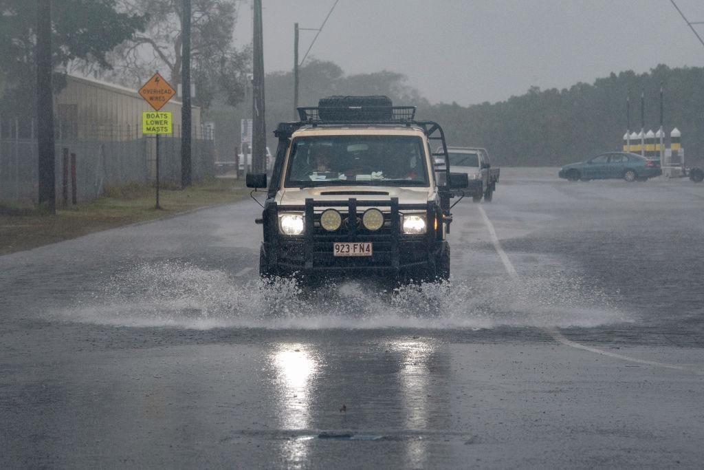
The full extent of southeast Queensland’s flooding damage may soon be revealed with rain finally set to ease.
Some of the worst hit were north of Brisbane in the Moreton Bay area and the Sunshine Coast, while Lockyer Valley further west was also inundated.
Queensland Premier Steven Miles said authorities had tried to assess the damage on Jan. 30 but crews kept getting called away for swiftwater rescues.
Dozens of homes are believed to be damaged in Bray Park alone.
There were concerns on Tuesday night for other people in the Moreton Bay area as well as the Sunshine Coast, particularly in the Caboolture River’s low lying catchment with rain continuing.
Evacuation centres have been set up in the Moreton Bay region where the SES responded to 100 calls for help.
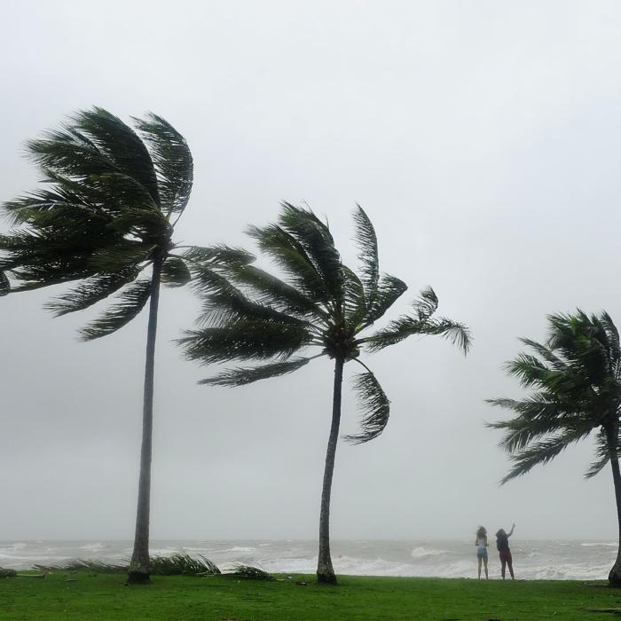
Severe thunderstorms were set to extend rainfall totals up to 250mm in some areas, leading to more flooding.
Mr Miles is set to outline financial assistance to be made available for flood victims on Jan. 31.
“I want all Queenslanders to know wherever they are affected by these floods we will be there to make sure that they are supported through the clean-up and getting back on their feet,” he told Seven Network.
Mother Nature may also provide some flood relief to the southeast on Jan. 31, with rain expected to drift north through the Wide Bay and Burnett areas.
By Wednesday night showers and storms are forecast for the tropical north but the southeast is set to be dry.
However heavy rain causing flooding is still lingering in the Mount Isa area in the state’s northwest due to the remnants of ex-Tropical Cyclone Kirrily, days after it crossed the coast.