Australia’s latest cyclone threat has been christened as the nation’s flood-hit north prepares for a second natural disaster in barely a month.
People have been evacuated from Northern Territory floodwaters as far north Queensland braces for another cyclone, which authorities confirm would be called Kirrily.
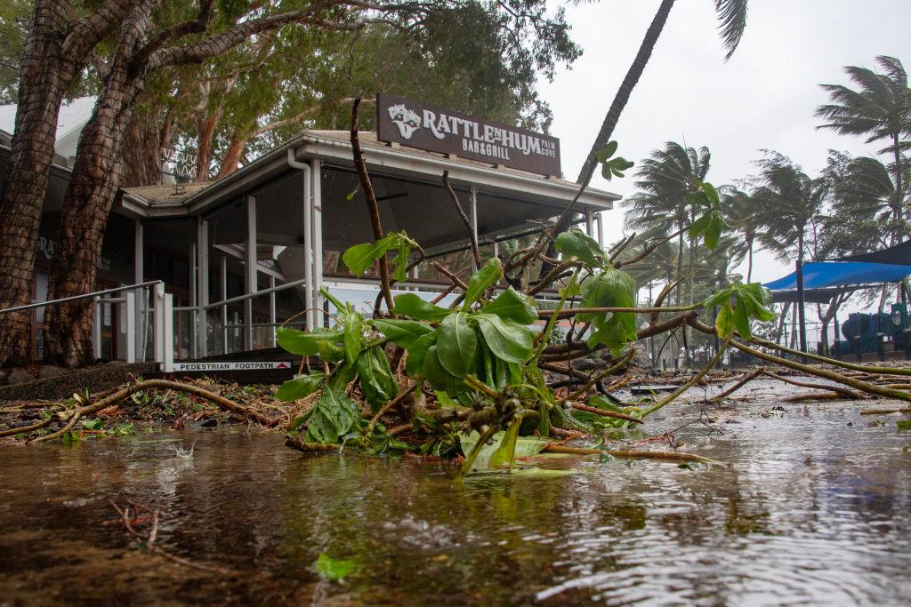
Emergency housing has barely arrived in the region, which is recovering from record flooding caused by Tropical Cyclone Jasper just weeks ago.
More severe weather could be on the way, with Kirrily set to form in the Coral Sea by Sunday.
Queensland Premier Steven Miles said there was a chance the system could move away from Australia and head towards New Caledonia.
But he warned it could track back to the state’s coast, with areas from Townsville down to Rockhampton in the firing line.
“If it were to cross the coast, it would be around Wednesday of next week,” he said on Jan. 19.
“It’s a good time for Queenslanders in that part of the coast ... to prepare for the cyclone.”
The Bureau of Meteorology said Kirrily was a significant risk of having a severe impact.
Some forecast models suggest the cyclone will be a category 3 system if it hits the coast, producing winds of up to 165km/h.
Even if it remains offshore, the significant system is set to bombard Queensland’s coast with heavy rain and strong winds.
“It is still looking like it may track back towards the Queensland coast but exactly where it moves toward is still a little bit unclear,” a bureau spokesman told AAP.
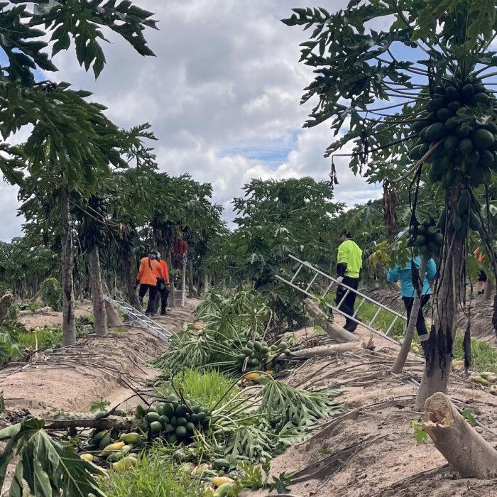
Communities north of Cairns are wary of more extreme weather as they deal with Jasper’s aftermath.
The area was one of the worst hit, with houses destroyed and almost 300 people evacuated from Wujal Wujal.
Heavy rain continues to lash the north tropical coast with 24-hour totals of 166mm in the Gilbert River catchment and 130mm at Mareeba.
Temporary housing has begun to arrive north of Cairns.
In an Australian first, the Albanese government has deployed emergency shelters dubbed Humanihuts, with the Defence Force helping deliver a convoy of the containers by barge.
More than 30 huts and six bathrooms have been sent to Wujal Wujal, Degarra and Ayton.
Each shelter has power and water and can sleep up to four people.
Flooding has hit the Northern Territory, with about 100 people evacuated and motorists left stranded.
There were reports of a helicopter pilot rescuing three people from a truck roof and taking them to Victoria River Roadhouse, west of Katherine.
About 40 people from Pigeon Hole, a Bilinara Aboriginal Land Trust settlement, have been relocated while another 50 at nearby Daguragu left for Kalkarindji.
Police predict Pigeon Hole could be flooded for a week.
Authorities are also on standby at Daly River due to rising flood levels.
There has been widespread rainfall of up to 150mm with more to come due to a slow-moving tropical low over Elliott, in central NT, that might impact Western Australia at the weekend.
In Western Australia, about 5500 homes in the Perth Hills and Wheatbelt remain without power due to network damage caused by storms on Jan. 23.
About 28,500 lost electricity at the height of the storms.
“We understand the frustration and inconvenience the current extended power outages ... are causing customers,” Western Power said.