The Icing on the Lake: Wintery Experiences Along Lake Superior

The Icing on the Lake: Wintery Experiences Along Lake Superior
Ice caves on the Apostle Islands. (Justin Meissen/CC BY-SA 2.0)
2/1/2022
Updated:
12/7/2022
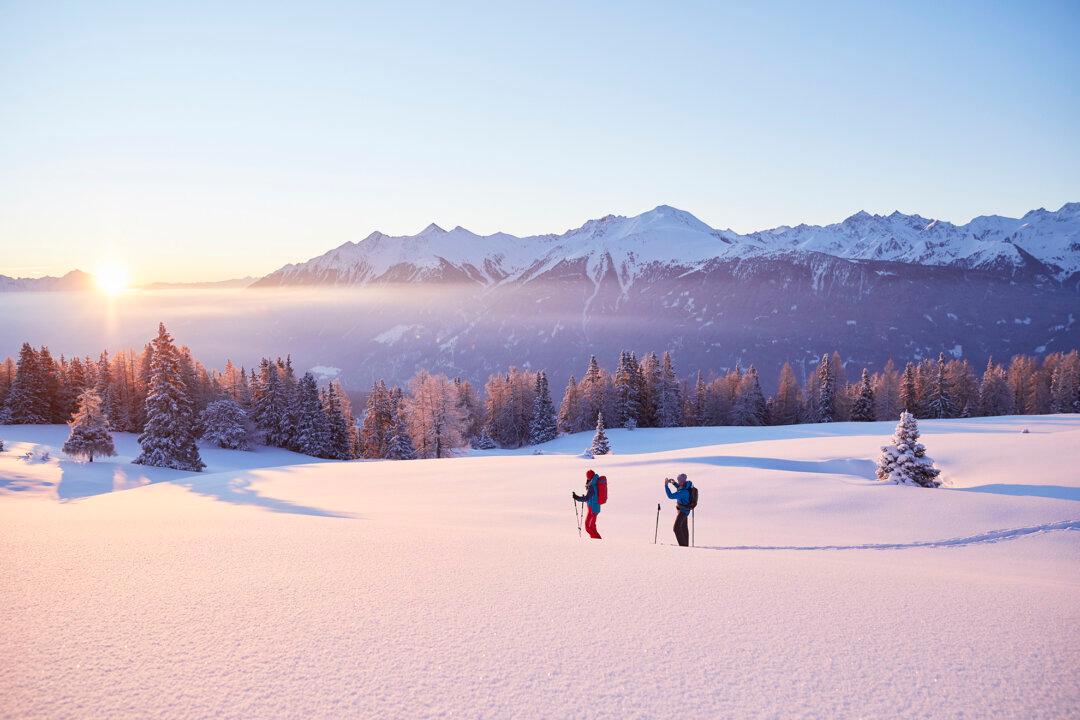
Ice happens. Those who live up north in Wisconsin—Lake Superior Country—know a thing or two about the hazards of winter, a season that sometimes drags on like an eternity. A friend and craft brewer in Ashland tells me he’s seen snow in every month of the year but one.

But for those who choose to live here, ice is just something you learn to negotiate and even incorporate into your leisure time.

Skiers make their way along the race course. (Courtesy of Book Across the Bay)
A bonfire warms up participants and others at Book Across the Bay. (Courtesy of Book Across the Bay)
The wintery event Book Across the Bay is a fine example of turning your frozen lemon concentrate into lemonade. The bay in question is Chequamegon Bay on Lake Superior, where the cities of Ashland, Washburn, and Bayfield look across at each other from along the curving shore tucked under that little horn at the top of Wisconsin, the Bayfield Peninsula. Thanks to its shallow and sheltered waters, the bay is practically guaranteed to freeze over each year.

In 1996, a group of locals thought it would be a pretty good idea to ski across the ice and the idea caught on. Feb. 19, 2022, marked the 25th anniversary of what originally began as a fundraiser for the local library. Around these parts, to book is “to move quickly” and the library angle just completed the pun.

The finish line at Book Across the Bay. (Courtesy of Book Across the Bay)
Fires at Book Across the Bay. (Courtesy of Book Across the Bay)
For years, Book Across the Bay has reliably drawn more than 2,000 participants each year—more than the population of Washburn itself—who come to ski or snowshoe on a 10-kilometer route (6.2 miles) that crosses the frozen lake between Ashland and Washburn. Guided by hundreds of candlelit ice lanterns or ice luminaria, the participants pass bonfires marking each kilometer (a bit over half a mile). If you had “use a portapotty on Lake Superior” on your bucket list, there are opportunities there as well. The unusual race is a night to remember, but there are other icy opportunities that merit a trip north.
In winter, the caves of the Apostle Islands take on an eerie quality, with their massive ice formations. (The Cut/CC BY 2.0)

The Ice Caves

The peninsula’s Apostle Islands aren’t a national park, but a national lakeshore. So in addition to the federally protected 21 (of the total 22) namesake isles, there is also a good chunk of protected coastline with some stunning sandstone cliffs. Battered and weathered by the relentless forces of Lake Superior’s wind and waves, these cliffs feature sculpted colored rock, caves, crevices, and tunnels. In summer, sea kayakers venture a mile east of Meyers Beach to get up close and paddle through—when the lake and its frequently changing wave patterns allow.

Likewise in winter, if the ice and weather are just right, visitors come out—this time on foot, skis, or snowshoes crossing along the frozen lake surface. The cliffs and their caves take on beautiful layers of ice and massive icicles and formations. When the rising and setting sun lights them up orange, it will take your breath away.

The ice caves—which enjoyed international acclaim and nearly 140,000 visitors in 2014—are only as reliable as the lake ice, which means “not very.” Some years, the ice is right for only a few days; other years, not at all. The National Park Service monitors the conditions and posts warnings online, or you can call the Ice Line (715-779-3398, ext. 3) before you make the drive to the Meyers Beach parking area. Plan B is perhaps a snowshoe/hike along the Lakeshore Trail, which leads from the parking area out along the cliff tops and offers some views. But beware of slipping hazards; these are cliffs after all!
Visitors on Apostle Islands National Lakeshore. (The Cut/CC BY 2.0)

The Ice Road

Another option is a drive on the ice. Check out Madeline Island, the only one of the 22 Apostle Islands not included in the National Lakeshore status. People reside here year-round, and a car ferry makes the 2.25-mile trip up to eight times a day in season. But when the ice forms, you can simply drive there—with traffic cones and discarded Christmas trees planted in the snow to keep you from wandering off course when visibility is bad.

If you don’t get to see the National Lakeshore caves, head to Big Bay State Park, situated on the eastern side of Madeline Island. The park’s four miles of shoreline features carved sandstone cliff-like formations (though not as tall as the national lakeshore), and a layer of ice formations covers them. Big Bay Point is best for viewing, but don’t try to walk on the ice. A sunrise through there is pretty.

Each year, the ice has been coming later and later and lasting fewer days. Some years have shown no roadworthy ice—2012, for example—and either the ferry runs all season or a wind sled helps out when neither cars nor ferries can get across. That mainland connection keeps residents from going stir-crazy.

The Ice Road must be at least 11 inches thick to allow vehicle traffic, and it’s monitored daily. As the season nears the end, one might actually be able to see or feel the undulation of the waves beneath. Remember: The speed limit is 15 miles per hour and driving faster only increases the risk of cracking the ice. It can get quite costly to pay for recovery if the wintery lake takes your car, truck, or house. (Yes, that has happened.)
Ice is fickle; the ice caves, as well as the lake ice, are not reliable—check before you go to see. (The Cut/CC BY 2.0)

Icefalls and Luminaries

Several photogenic waterfalls in the area look quite fine in their frosty state as well. Big and Little Manitou Falls at Pattison State Park and Amnicon Falls State Park, both less than about an hour west of Ashland, are good bets, as are the two main waterfalls at Copper Falls State Park to the south. The latter has an evening hike/ski event on Feb. 5 that is lighted by ice luminaries. (This sort of lighted nighttime event is common throughout Wisconsin in winter, especially in state parks.) For a hidden beauty on the Bayfield Peninsula, snowshoe into the woods to find the diminutive Lost Creek Falls (see my book “Hiking Wisconsin“) just south of Cornucopia.

Gone Fishing

Lake Superior ice is fickle, and a warming of its waters may make it even more so. About once every couple of decades, the lake freezes over completely. Or as little as a third. Some areas—sheltered bays, the Ice Road—get reliable ice almost every year, and some places in the coldest of times will freeze, but then a shifting can break it up or allow water to come up over it. My grandfather, a hardcore ice fisherman years ago, recalled walking two miles back to shore, dragging his sled of fishing gear while the water swished over his ankles.
Which brings me to the next topic: ice fishing. Visit Ashland works with River Rock Inn & Bait Shop to keep updated ice-fishing conditions along Chequamegon Bay. (And if you’re in town, stop there to buy some amazing smoked fish.) The necessary equipment includes an ice auger to cut a hole, bait, fishing rods, and tip-ups, and whatever you need to keep warm, whether that’s a parka, good boots, an actual shelter, or heater. One might catch perch, walleye, brown trout, whitefish, northern pike, or even Coho out on the bay or out toward the islands. Guides are also available, whether you are on the big lake or one of the many inland ones.

My relatives told me of three fellows whose ice once broke free from the mainland and floated a day or six (depending on the storyteller) before bumping into one of the Apostle Islands (Hermit Island, according to Grandmother). There they waited to be rescued—and presumably, kept fishing. Sounds crazy, but then recently, Green Bay (the actual bay, not the city, though they are connected at the hip) made national news when a large group of anglers took an unintended iceberg cruise and needed rescuing. These things happen, but when the fish are biting, what’s a fellow to do?

Kevin Revolinski is an avid traveler, craft beer enthusiast, and home-cooking fan. He is the author of 15 books, including “The Yogurt Man Cometh: Tales of an American Teacher in Turkey” and his new collection of short stories, “Stealing Away.” He’s based in Madison, Wis., and his website is TheMadTraveler.com
Related Topics