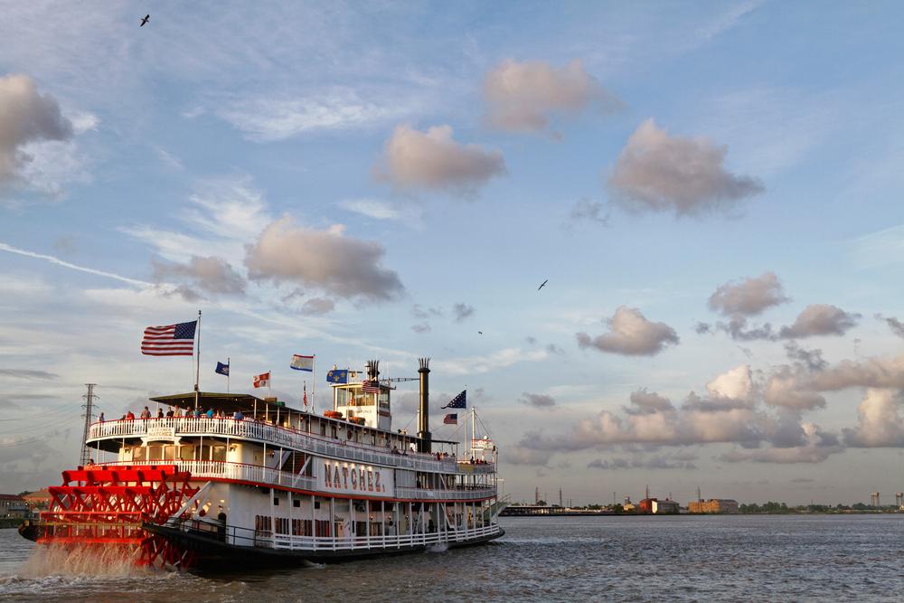
I waded across the Mississippi once. That might sound preposterous or Paul Bunyan-like in hyperbole, but the Mighty Mississip’ has, like all big rivers, its humble origins. The official starting point is Lake Itasca, located in its namesake state park in northern Minnesota. From there the river is a 20-foot wide stream of ankle-wetting water embarking on its three-month, 2,300- to 2,350-mile journey (depending on who you ask) to descend 1,475 feet to the sea at the Gulf of Mexico.
This course takes it along Minnesota, Wisconsin, Iowa, Illinois, Missouri, Kentucky, Tennessee, Arkansas, Mississippi, and Louisiana, a broad slice of American life and landscape, and all I can think is: road trip! In fact, it’s already mapped for you: The Great River Road National Scenic Byway, first developed in 1938, is a route as grand as the river itself. Stringing together a series of local, state, and national highways, the combined 2,340 miles follow as closely as possible along the banks of the muddy master, in some cases on both sides. Each state has its own managing commission but the entire route (fhwa.dot.gov/byways/byways/2279/maps)is marked by green signs bearing a white river steamboat inside a pilot wheel.


