The Routeburn Track in New Zealand is an excellent 2-3 days hike into the mountains and deep mossy forests. Situated in the south-east of New Zealands south islands, the track goes through some beautiful mountain scenery. Just getting there from Queenstown, a 45 minute drive away from the start, is spectacular.

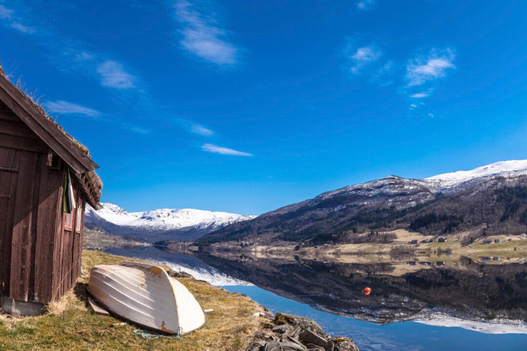
Lake on the drive to the Routeburn Track (Jonny Duncan/Backpacking Man)