Al Shaw
Author
LATEST
Reporting From the Youngest Land in the World
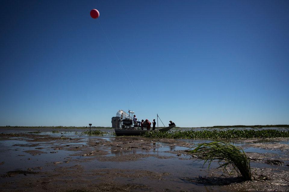
On October 13, we stepped off a boat in the middle of the Mississippi River Delta onto brand new land. The ground, about six months old, was a bit squishy but it held firm under our boots. It was put there by engineers working on a quixotic project to save Southeast Louisiana, which is sinking into the Gulf of Mexico at a rate of about a football-field every hour.
|
Sharpening the Government's Blurry Maps for Disaster Relief
The Federal Emergency Management Agency (FEMA) has flood-risk maps of questionable accuracy for many U.S. counties and lacks maps altogether for some.

|