A La Niña advisory has officially been issued by the National Weather Service’s Climate Prediction Center, and winter conditions across the United States could be affected through February.
The opposite of the weather phenomenon called El Niño, La Niña refers to the condition in which the water temperatures of the central and eastern Pacific Ocean around the equator are cooler than average. That cooling can affect global weather patterns thousands of miles away.
The La Niña effect emerged at the end of September and is favored to persist through December 2025 and into February 2026.
North–South Divide
One of the most noticeable effects that La Niña could have on the United States is a moisture divide between the northern and southern states of the Lower 48.To the north, colder and wetter conditions are generally expected, while the southern states are expected to experience a warmer and drier winter.
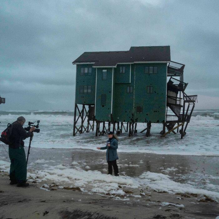
The northwest, meanwhile, is predicted to have near-average temperatures.
NOAA noted that those temperature changes have already begun to show up.
Rain and Snowfall
La Niña is also expected to bring changes to precipitation across the country, particularly snowfall. Much of the north, from the Cascades in Washington state to the upper Midwest and New England, will tend to see an increase in snowfall.NOAA’s seasonal outlook indicates that much of Washington, Oregon, Montana, and Idaho are expected to see above-average levels of precipitation, while states in the southern Rockies, such as New Mexico and Colorado, are expected to see below-average precipitation.
Several areas of the Rocky Mountains, including the Salt Lake City area, have already reported significant amounts of early snowfall, and more is reported to be on the way.
However, that snow is coming in as part of a low-pressure system coming off the ocean and into California. The Weather Prediction Center issued a slight risk of excessive rainfall over parts of Southern California, noting that urban areas, roads, small streams, and low-lying areas could be vulnerable to flash flooding. Additional showers and thunderstorms were also expected to hit parts of the Southern Rockies, bringing heavy rain and risks of flash flooding.
During La Niña, the Southern Rockies historically tend to get below-average amounts of snowfall. So do parts of the Ohio Valley.
That being said, Michelle L’Heureux, lead scientist of NOAA’s team responsible for studying La Niña and El Niño, said that, based on multifactor computer models from NOAA and Columbia University, this La Niña impact is not likely to be very strong at all. Temperatures and precipitation levels should remain closer to average.
“There is a three-out-of-four chance it will remain a weak event,” L'Heureux said in an email. “A weaker event tends to exert less of an influence on the global circulation, so it’s possible there will be surprises ahead.”
The Climate Prediction Center publishes monthly statements on the status of La Niña. The next one will be posted on about Nov. 13.