A second named storm of the 2026 hurricane season has formed off the coast of Florida Monday evening.
Tropical Storm Bertha has strengthened from a tropical depression into a storm, the National Hurricane Center said in a 7 p.m. CT update.
While it has been “drifting erratically,” traveling around 3 mph, it is expected to move northwest tonight into Tuesday morning, “followed by a west-northwestward or westward motion.”
Positioned 110 miles south of Panama City, Florida, and 190 miles southeast of Mobile, Alabama, Bertha is expected to inch its way off the coast of Florida’s Big Bend to then scrape across the rest of the Gulf Coast states over the next several days.
Its maximum sustained winds increased from 35 mph to 40 mph since the previous 4 p.m. CT advisory. Sustained winds of at least 39 mph mark the threshold of a tropical depression becoming a tropical storm.
Tropical Storm watches are in effect for the entire stretch of Gulf Coast between Ochlockonee River, Florida, to the Jefferson/Plaquemines Parish border in Louisiana.
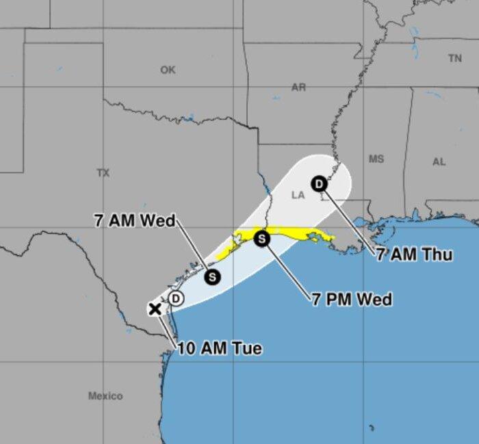
A storm surge warning is in effect for the Florida–Alabama state line and the mouth of the Mississippi River.
The National Hurricane Center is predicting as much as two to four feet of surge for those areas, with other areas from Indian Pass, Florida, to Chassahowitzka, Florida, and from Morgan City, Louisiana, to the mouth of the Mississippi River receiving one to three feet.
Lake Ponchartrain is also expected to receive one to three feet of storm surge.
The National Hurricane Center said that surf-related flooding will be dependent upon the time of the surge relative to the tide cycle.
In terms of rainfall, two to four inches is forecast across the Gulf Coast, with isolated areas expected to get as much as eight inches. Flash flooding could be possible in urban areas.
This storm spent several days off the west coast of Florida’s peninsula generating the counterclockwise rotation identified with tropical storms and hurricanes.
It threw bands of wind and rain and rip currents over Tampa Bay and most of Florida’s west coast across the Big Bend and Nature Coast through Panama City.
Those bands brought several inches of rain and wind gusts exceeding 45 mph.
The focal point of this storm’s development has continued to move west from the Florida–Georgia line, over the Atlantic Ocean and the Gulf of America.
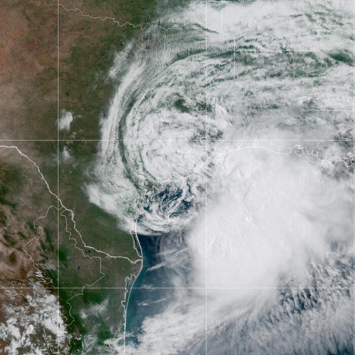
Tropical Storm Bertha comes a little more than one month after Tropical Storm Arthur, which briefly affected Galveston, Texas, the surrounding northeast corner of the Lone Star State’s Gulf Coast, and parts of western Louisiana.