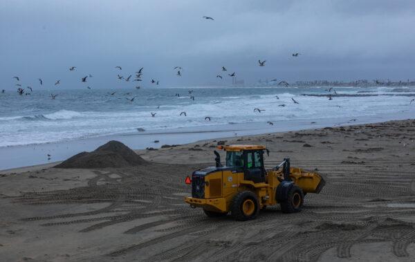
Californians were taking advantage of a sunny day as they started the work week, but more winter weather is on the way beginning late March 27, according to the National Weather Service.
A half-inch to an inch of rain could fall this week in the Bay Area and Los Angeles County, while up to three inches are expected in the Santa Cruz Mountains, San Mateo County coast, San Francisco East Bay hills, and North Bay, Meteorologist Rick Canepa with the National Weather Service San Francisco office told The Epoch Times.
High winds will also whip through the storm-soaked region that has received multiple drenchings since the end of December. Forecasters predict winds from 30–35 miles per hour in the Bay Area and central coast region, with gusts reaching 50 miles per hour, according to Canepa.
“It’s not quite high-wind-warning criteria, but it’s not too far away from it either,” he said.
Bay Area residents could see some rain starting Monday night and continuing through Tuesday evening, with a few residual passing showers expected later that day.
On Wednesday, the main part of the storm will pass through the central California coast, reaching close enough to land to produce showers, some thunderstorms, and small-sized hail, Canepa said.
“They’re forecasting a lot of snow in the Sierra Nevada,” he said. People should “avoid travel, if possible.”
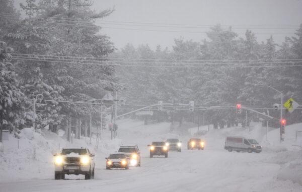
High avalanche danger may occur in the backcountry from Tuesday morning through Wednesday morning in the Central Sierra Nevada Mountains between Highway 49 and Highway 4, including the greater Lake Tahoe area, the weather service warned.
The area should expect high-intensity snowfall mixed with gale-force winds, creating conditions for widespread avalanche activity, with some large avalanches possible in a variety of areas, according to the weather service.
Further south in the Los Angeles County region, forecasters are expecting rain and thunderstorms beginning Tuesday, with rain falling into Tuesday night. On Wednesday and Thursday, the area could see off-and-on rain showers and gusty winds, with a chance of small hail, Weather service Meteorologist Rose Schoenfeld, in Los Angeles, told The Epoch Times.
The region also has a slight chance of seeing another tornado, but it’s hard to say exactly where that could be, she said.
“The chance is slim,” Schoenfeld said.
This week’s storm is traveling into the Golden State from the Pacific Northwest, bringing with it colder temperatures as it moves from the San Francisco region south to Los Angeles and Orange counties.
California mostly gets “atmospheric river” systems this year, dumping copious rain and snow, along with warmer temperatures. But this week’s event is a low-pressure system from Oregon, Schoenfeld said.
Temperatures in Los Angeles County are forecast to reach the high 50s and low 60s during the storm pattern, according to the National Weather Service.
By Thursday, the rain should taper off in the L.A.-Orange County region and warmer weather is expected to return by Friday.
Southern California could get a break from the winter weather after this storm, with not even a hint of another system on the horizon, according to Schoenfeld.
In Northern California, the temperatures are expected to remain below-average with above-average precipitation extending for the next two weeks as a few storms reach the area from the Pacific Northwest, according to the weather service.