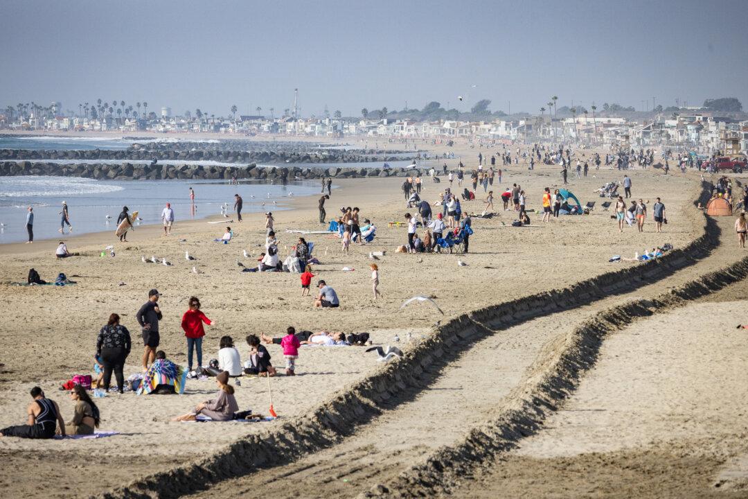
An atmospheric river is rolling over California, causing the National Weather Service to put a portion of Northern California under flood watch.
An atmospheric river is a stream of moisture in the sky that can cause heavy rain or snow once it reaches land.
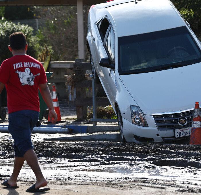
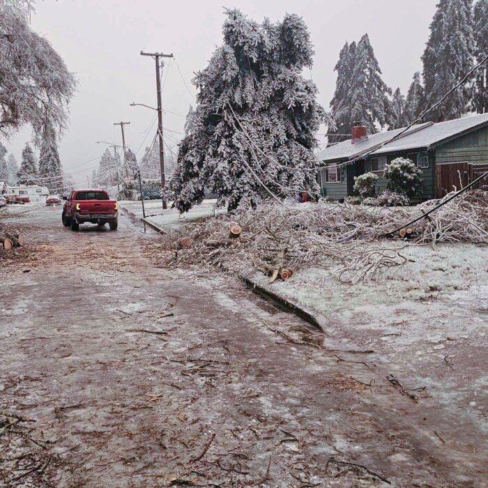
The evening of Wednesday, Jan. 31, saw heavy rain and strong winds that caused flooding, mudslides, downed trees, and cut power.
A potentially stronger storm is expected this Sunday, Feb. 4, according to the San Francisco Chronicle.
“The heavy rain will work southward as the week progresses,” said Cory Baggetta, a meteorologist with the Climate Prediction Center. “It will start along the California border with Oregon and move southward as the [atmospheric river] event progresses, bringing the heavy rain with it.”
Potential for flooding spans the Bay Area, Sacramento, and the Sierra foothills.
The flood watch is in effect from 4 p.m. Wednesday through late Thursday night. It covers a portion of Northern California, including Motherlode, Southwestern Shasta County, Western Colusa County, the Northeast foothills, and the Sacramento Valley, according to the National Weather Service.
A separate watch was issued for the Bay Area and parts of the Central Coast.
The valley is expecting 1–3 inches of rain, while 1.5–3.5 inches is expected in the foothills, and the heaviest rain is expected in the Northern Sacramento Valley, according to the National Weather Service.
A threat level of “minor flooding” is expected in Monterey County for areas near the coastline, Highway 1, and Highway 101 Corridor north of Salinas, NWS Bay Area reported.
“Flooding caused by excessive rainfall continues to be possible,” the National Weather Service’s flood watch states.
“Excessive runoff may result in flooding of rivers, creeks, streams, and other low-lying and flood-prone locations,” the National Weather Service stated. “Creeks and streams may rise out of their banks. Flooding may occur in poor drainage and urban areas. Low-water crossings may be flooded. Storm drains and ditches may become clogged with debris.”
The weather service in Sacramento issued a wind advisory for the Sacramento Valley, Delta region, Northern San Joaquin Valley, and foothills with gusts expected up to 55 mph from Wednesday to Thursday morning, according to Sacbee.
The National Weather Service put out a wind advisory on Wednesday that lasted until Thursday morning at 6 a.m.
Additionally, the National Weather Service expects breaking waves of up to 26 feet and put out a warning for San Francisco, the North Bay including Point Reyes, the Peninsula, the Monterey Bay Area, and the Big Sur coast. It reported that big waves “can sweep across the beach without warning, pulling people into the sea from rocks, jetties, and beaches.”