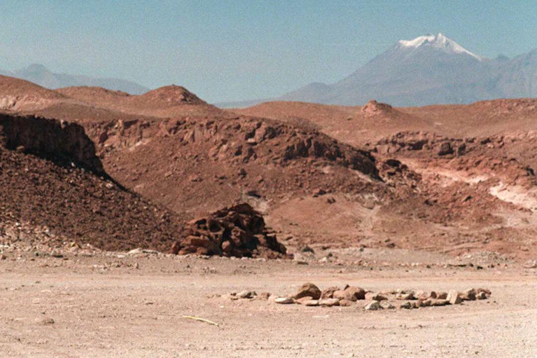
Earth permanently deformed: Geologists have discovered that the Earth’s crust may not be as elastic as previously thought. Quakes in Northern Chile have permanently deformed the Earth.
The Atacama Desert in Northern Chile provides a unique snapshot of changes in the Earth’s crust over nearly a million years and after thousands of earthquakes.
“In all other places, surface processes erase them [changes] within days or weeks of their formation,” Structural geologist Richard Allmendinger of Cornell University told OurAmazingPlanet. Allmendinger and his colleagues published a study on April 28 showing that earthquakes of magnitude 7 or higher have caused permanent cracks in the Earth’s crust.
This could change the way geophysicists view the earthquake cycle.
“Their models generally assume that all of the upper-plate deformation related to the earthquake cycle is elastic—recoverable, like an elastic band—and not permanent,” Allmendinger said. “If some of the deformation is permanent, then the models will have to be rethought and more complicated material behaviors used.”
Allmendinger explained in an email to The Epoch Times that his findings don’t disprove the current geophysical models, rather they show that those models are over-simplified. Geophysicists currently analyze geodetic Global Positioning System (GPS) data with the assumption that deformations are elastic.
Actually, about 10 percent of the GPS signal reflects permanent deformation, Allmendinger explained.
In 2010, the National Aeronautics and Space Administration (NASA) released its first airborne radar images of the deformation caused by major earthquakes. A June 2010 Environmental News Network article explains that understanding the deformation allows researchers to understand how ground motions may redistribute strain to other faults nearby.
Thus, understanding the deformation of the Earth’s crust caused by earthquakes could help researchers have a clearer picture of what kind of strain other faults are experiencing.
While further understanding this strain could be a small step toward earthquake prediction, Allmendinger told The Epoch Times, “Earthquake prediction is still a long ways off, unfortunately.”
He said his research will primarily help in understanding how strongly locked the crust and mantel are where plates meet during the period of accumulating strain before an earthquake.
NASA’s Uninhabited Aerial Vehicle Synthetic Aperture Radar (UAVSAR) program uses aerial imaging to trace changes in the earth’s crust. These images only show the surface changes, however, which Allmendinger said are soon swept away.
When his Chilean colleague, Professor Gabriel González of the Universidad Católica del Norte, took him to a region of the Atacama Desert where the cracks were well-exposed, he was amazed and perplexed.
“[I’ve] never seen anything like them in my 40 years as a geologist,” Allmendinger told OurAmazingPlanet.
He and his colleagues discovered cracks of varying sizes, from inches to yards, caused by 2,000 to 9,000 major earthquakes over the past 800,000 to 1 million years. Allmendinger said he has reason to believe his findings apply to other regions of the world as well.
His study was published in Nature Geoscience on April 28.
Earthquake: What Does ‘Magnitude’ Mean?
Video by Space.com


