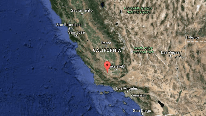
A very scary, yet very real possibility of an earthquake of catastrophic proportions could hit Los Angeles at any time, according to a newly-released Los Angeles Times report from a national earthquake conference.
Scientists are unable to predict earthquakes, so no specific date and time can be given.
“The springs on the San Andreas system have been wound very, very tight. And the southern San Andreas fault, in particular, looks like it’s locked, loaded and ready to roll,” said Thomas Jordan, the director of the Southern California Earthquake Center during a keynote speech.
The last time a big earthquake struck the southern San Andreas was in 1857. The quake measured a magnitude of 7.9, and ruptured an astonishing 185 miles between Monterey County and the San Gabriel Mountains near L.A. It liquified soil, caused massive sinking, and shook the ground consistently for 1 to 3 minutes.
On the southeastern side of the fault, it has been over two centuries since the last quake; 1812—and pushing further southeast, it’s been nearly 325 years since a major rupturing.
Based on previous plate movement, smaller quakes should relieve roughly 16 feet of plate movement “stress” every century, Jordan said.
The San Andreas fault has not released its stress for over a century.
In 2008, a U.S. Geological Survey reported that a southern San Andreas fault quake, around the magnitude of 7.8, would cause historical damage—predicting a cost of more than $200 billion in damage, over 1,800 deaths, 50,000 injuries, and extensive, long-lasting impairments.
A major issue among the damage: Sewer systems being out of service for 6 months.


