SAN JUAN, Puerto Rico—Hurricane Irma, one of the most powerful Atlantic storms in a century, churned across northern Caribbean islands on Wednesday with a potentially catastrophic mix of fierce winds, surf and rain, en route to a possible Florida landfall at the weekend.
Irma is expected to become the second powerful storm to thrash the U.S. mainland in as many weeks but its precise trajectory remained uncertain. Hurricane Harvey killed more than 60 people and caused damaged estimated as high as $180 billion when it hit Texas late last month.
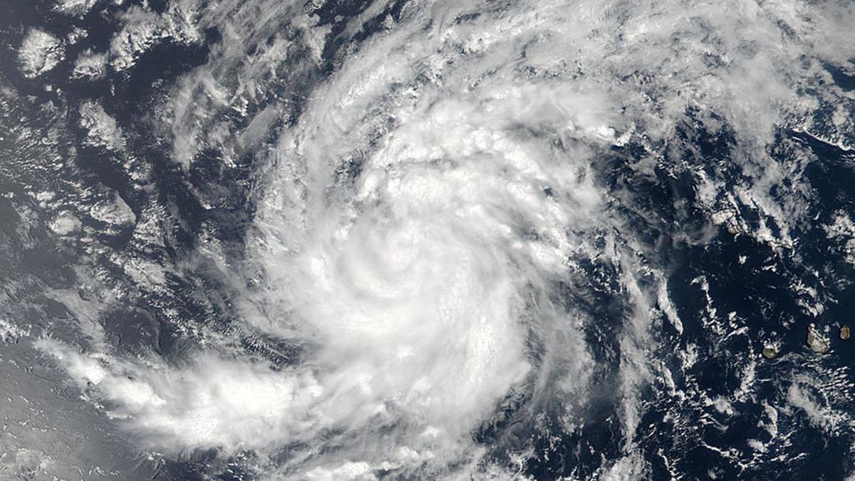
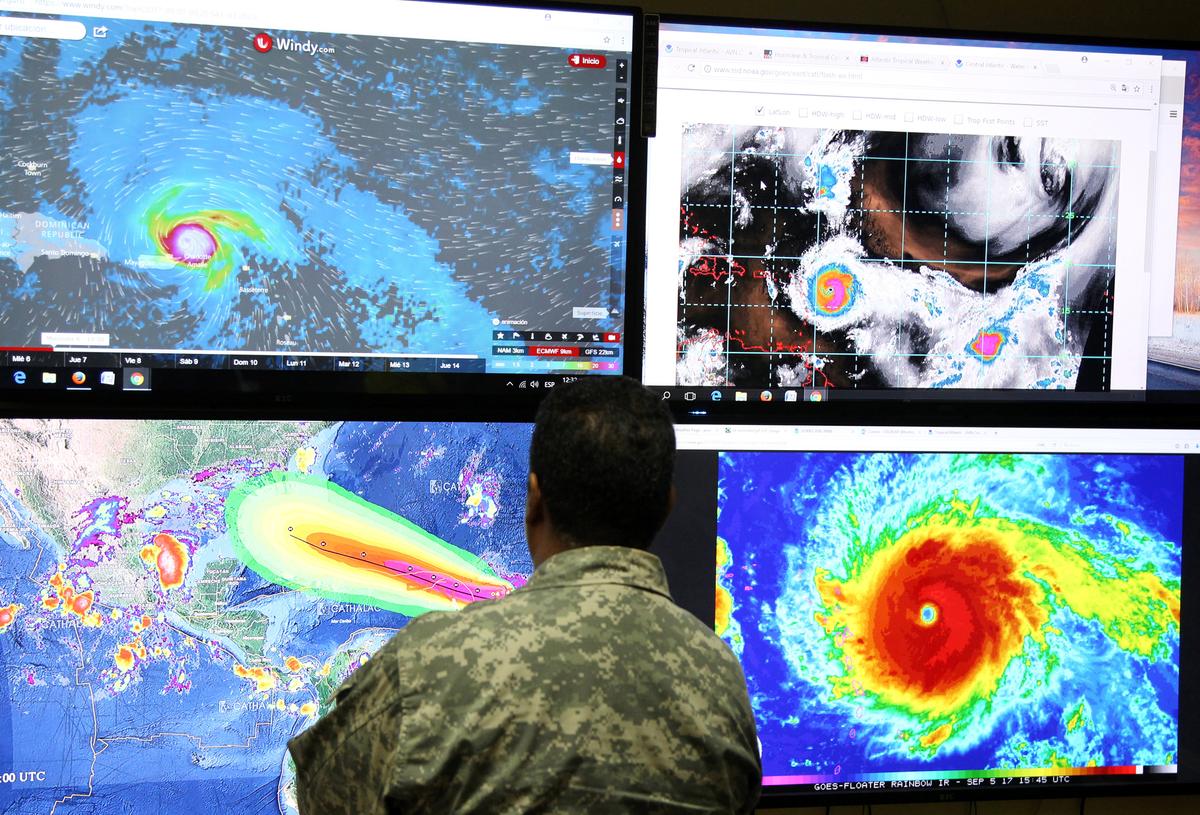
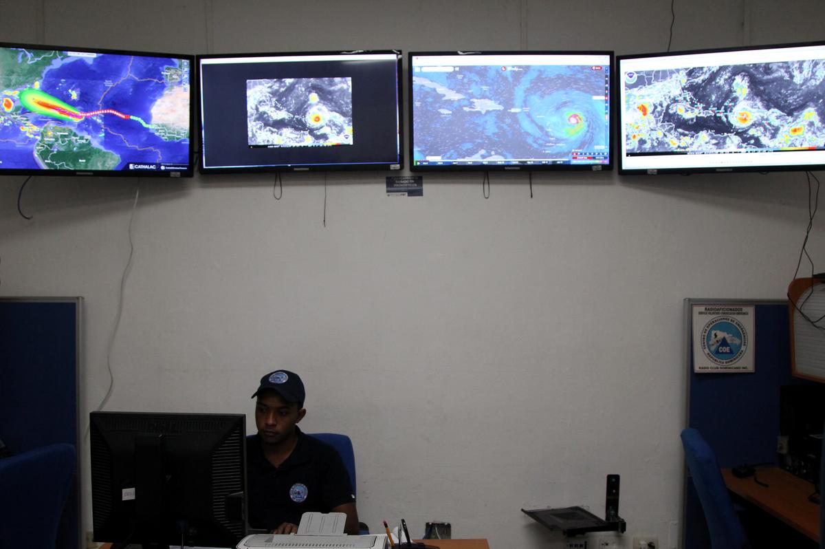
The eye of Irma, a Category 5 storm packing winds of 185 miles per hour, moved away from the island of Barbuda and toward the island of St. Martin, east of Puerto Rico, early on Wednesday, the U.S. National Hurricane Center (NHC) in Miami reported. It could hit Florida on Saturday.
“We are hunkered down and it is very windy ... the wind is a major threat,” said Garfield Burford, the director of news at ABS TV and Radio on the island of Antigua, south of Barbuda. “So far, some roofs have been blown off.”
Most people who were on Antigua and Barbuda were without power and about 1,000 people were spending the night in shelters in Antigua, according to Burford.
“It’s very scary ... most of the islands are dark so it’s a very, very frightening,” he said.
The eye of the hurricane went over Barbuda, which has a population of about 1,600 people, according to ABS radio.
“All hearts and all prayers and all minds go out to the Barbudans at this time because they experienced the full brunt,” a radio host said on the station early on Wednesday.
Public relations professional Alex Woolfall said on Twitter he was hiding underneath a concrete stairwell as the storm neared St. Maarten.
“Still thunderous sonic boom noises outside and boiling in stairwell. Can feel scream of things being hurled against building,” he said. “Okay I am now pretty terrified so can every non-believer, atheist & heretic please pray for me.”
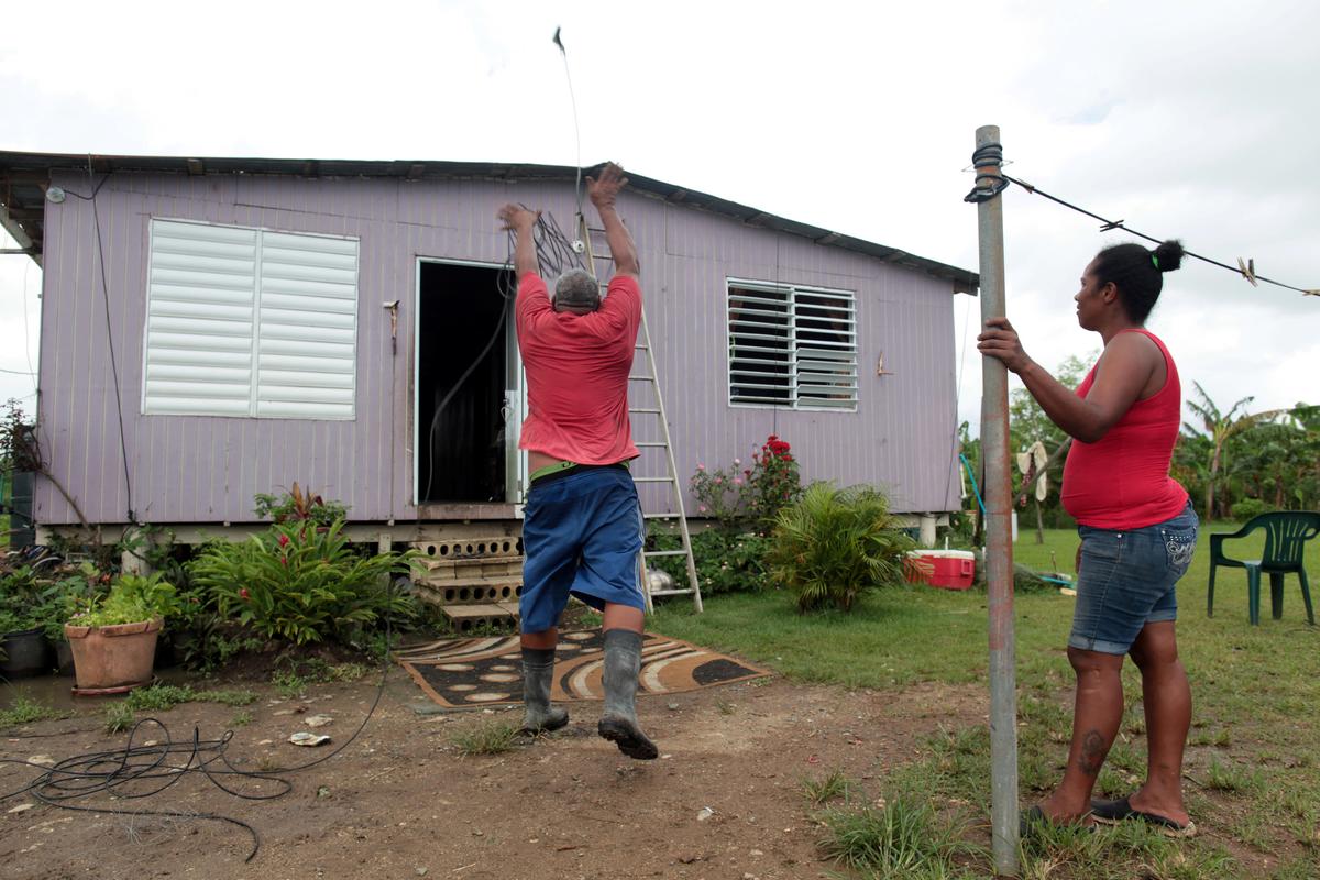
The amount of damage and the number of casualties were not known early on Wednesday. A 75-year-old man died while preparing for the storm in Puerto Rico’s central mountains, police said.
Several other Leeward Islands, including Anguilla, Montserrat, St. Kitts and Nevis, as well as the U.S. and British Virgin Islands, Puerto Rico and the Dominican Republic were under a hurricane warning.
“Preparations to protect life and property should be rushed to completion,” the Hurricane Center said, warning that Irma “will bring life-threatening wind, storm surge and rainfall hazards” to those islands.
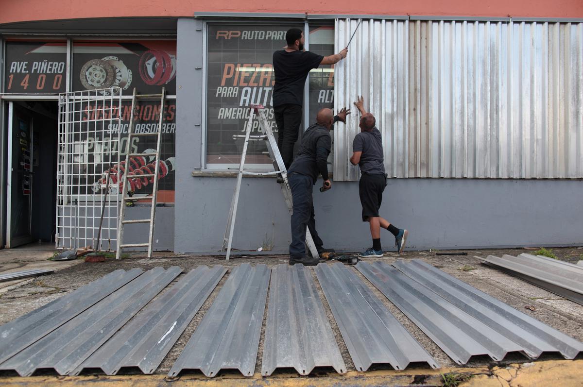
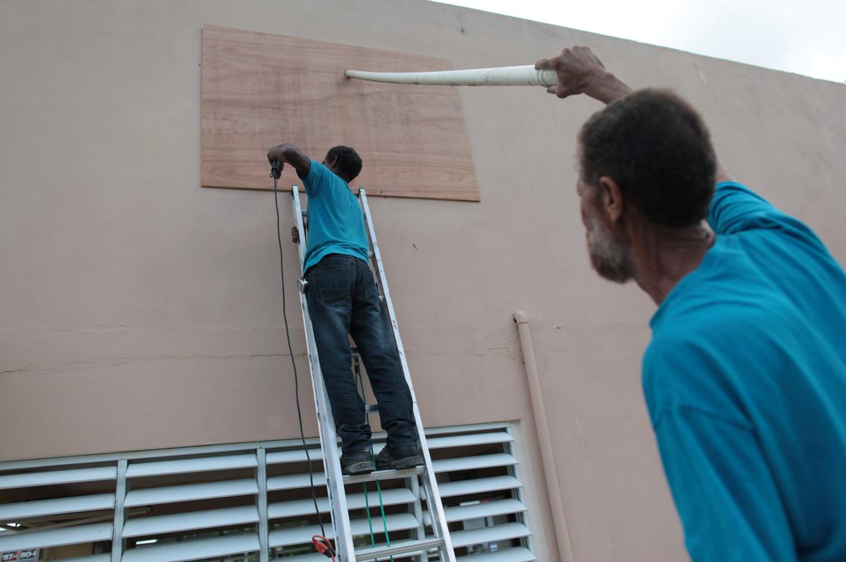
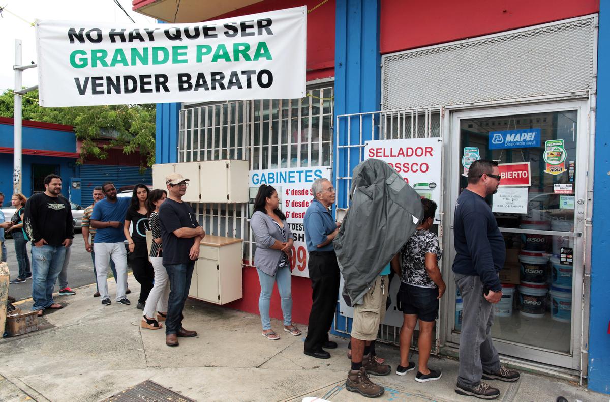
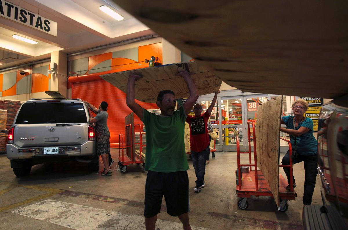
Along the beachfront of Puerto Rico’s capital, San Juan, work crews scrambled to cover windows with plywood and corrugated metal shutters along Avenida Ashford, a stretch of restaurants, hotels and six-story apartments.
“I am worried because this is the biggest storm we have seen here,” said Jonathan Negron, 41, as he supervised workers boarding up his souvenir shop.

The NHC said Irma ranked as one of the five most powerful Atlantic hurricanes during the past 80 years and the strongest Atlantic basin storm ever outside the Caribbean Sea and Gulf of Mexico.
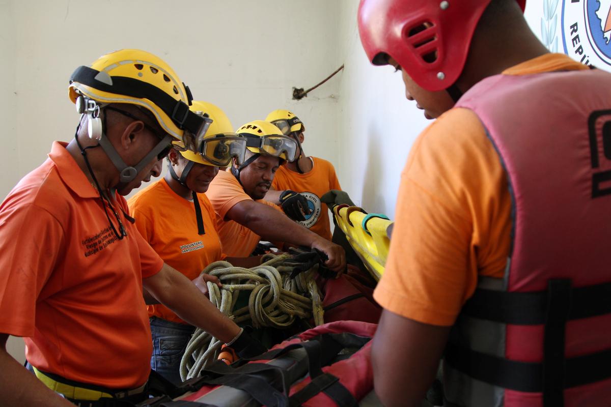
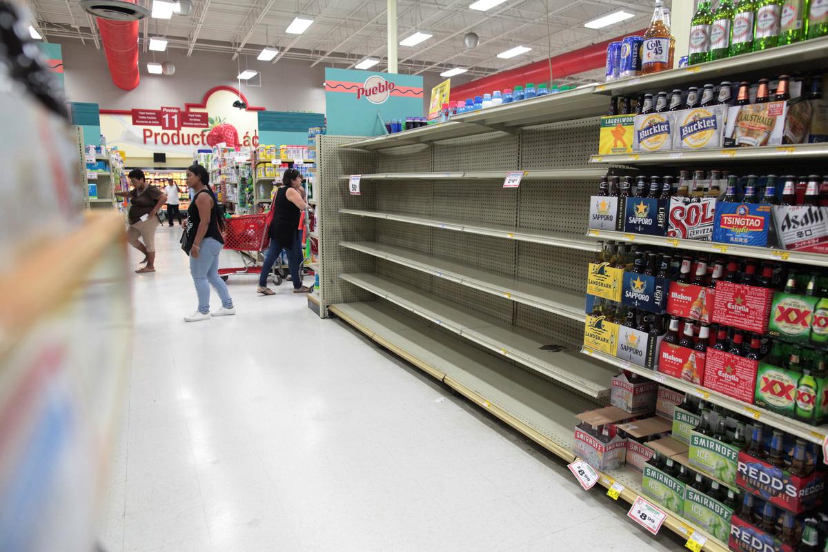
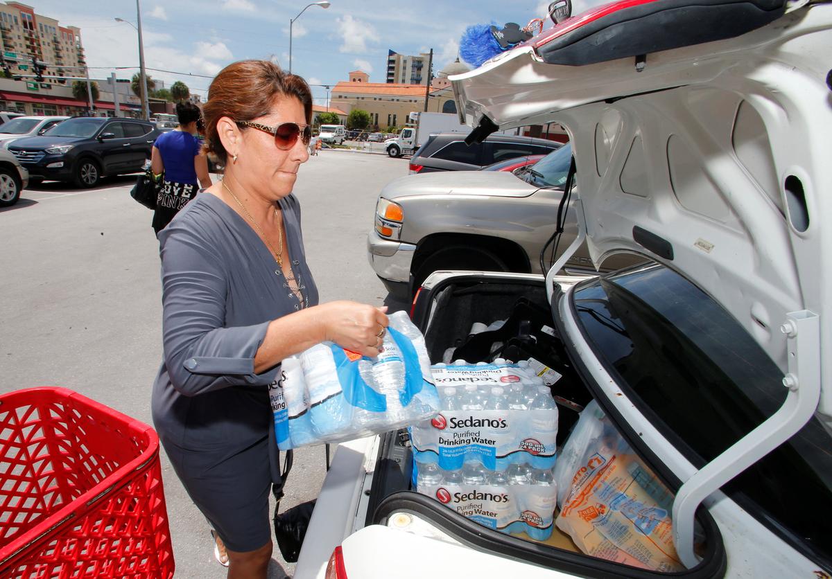
Puerto Rico Governor Ricardo Rossello urged the 3.4 million residents of the U.S. territory to seek refuge in one of 460 hurricane shelters in advance of the storm and later ordered police and National Guard troops to begin evacuations of flood-prone areas in the north and east of the island.
“This is something without precedent,” Rossello told a news conference.


U.S. President Donald Trump approved emergency declarations for Florida, Puerto Rico and the U.S. Virgin Islands, mobilizing federal disaster relief efforts, the White House said.
Authorities in the Florida Keys called for a mandatory evacuation of visitors to start at sunrise on Wednesday, and public schools throughout South Florida were ordered closed, some as early as Wednesday.
Residents of low-lying areas in densely populated Miami-Dade County were urged to move to higher ground by Wednesday as a precaution against coastal storm surges, three days beforeIrma was expected to make landfall in Florida.


Several tiny islands in the resort-heavy eastern Caribbean were the first in harm’s way.
Hurricane watches were in effect for Guadeloupe, Haiti, the Turks and Caicos Islands and the southeastern Bahamas.
Airlines canceled flights to the region, and American Airlines added three extra flights to Miami from San Juan, St. Kitts and St. Maarten.
Residents of Texas and Louisiana were still recovering from Harvey, which struck Texas as a Category 4 hurricane on Aug. 25. It dumped several feet of rain, destroying thousands of homes and businesses, and displaced more than 1 million people.
By Scott Malone