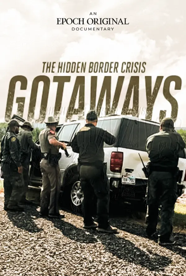
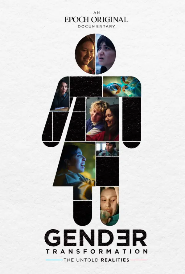
SPECIAL COVERAGE
Read More


Read More
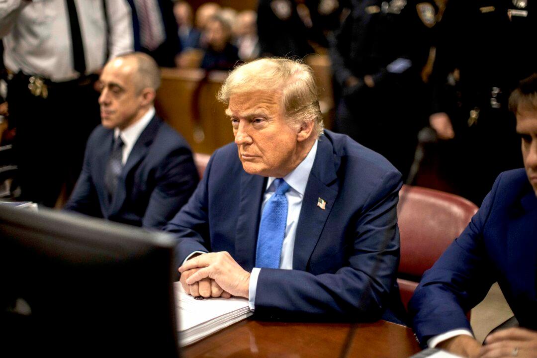
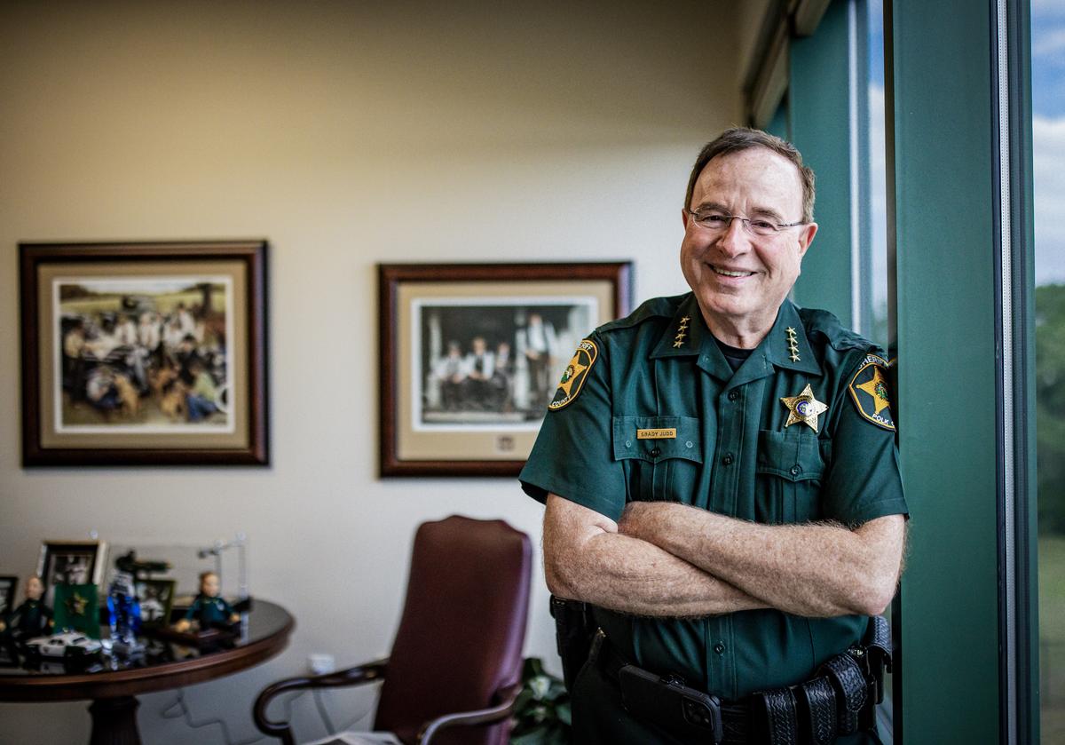
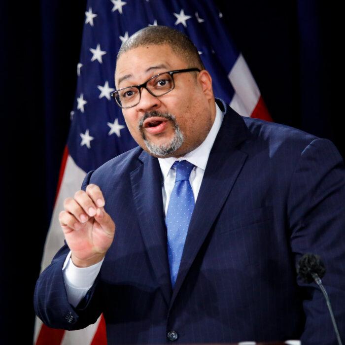
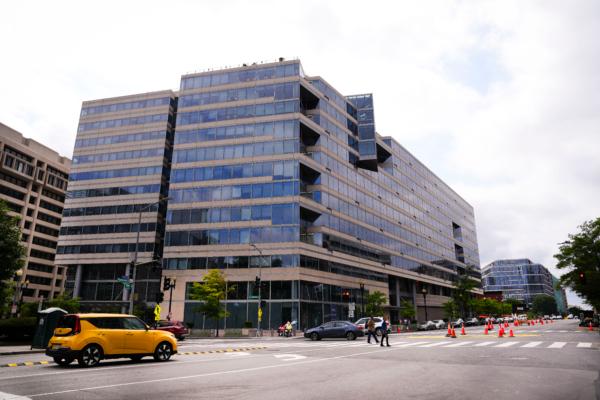
Banker Who Handled Cohen Account Testifies in Trump Trial
Farro said he was assigned because he had ability to work with ‘challenging’ clients.

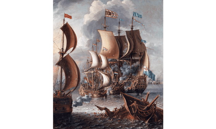
There’s a new global push for digital currencies, and SWIFT is now planning to roll out a new platform that will connect the emerging CBDC...
There’s a new global push for digital currencies, and SWIFT is now planning to roll out a new platform that will connect the emerging CBDC...
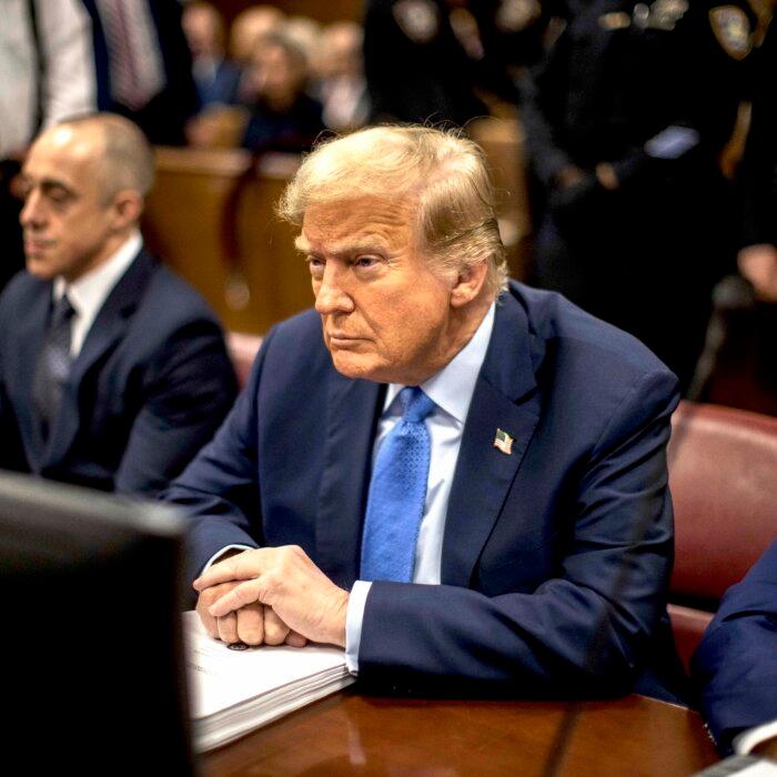
Banker Who Handled Cohen Account Testifies in Trump Trial
Farro said he was assigned because he had ability to work with ‘challenging’ clients.


Top Premium Reads


Top Stories


Most Read
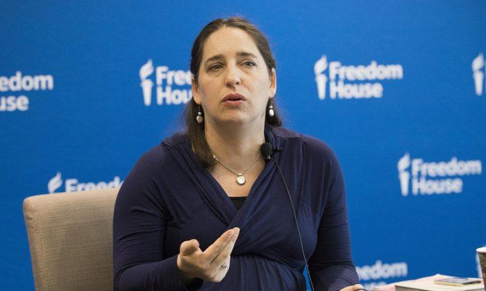
Suppression of Faith Has Backfired on CCP: Researcher
‘Even with all this brutality, even with all the billions of dollars, the CCP hasn’t been able to’ change people’s beliefs, said China expert Sarah Cook.
Scenes From Chaos: A Journalist Recounts Her Escape From Kabul
Indian journalist Nayanima Basu recalls a harrowing adventure in her newly-released book.


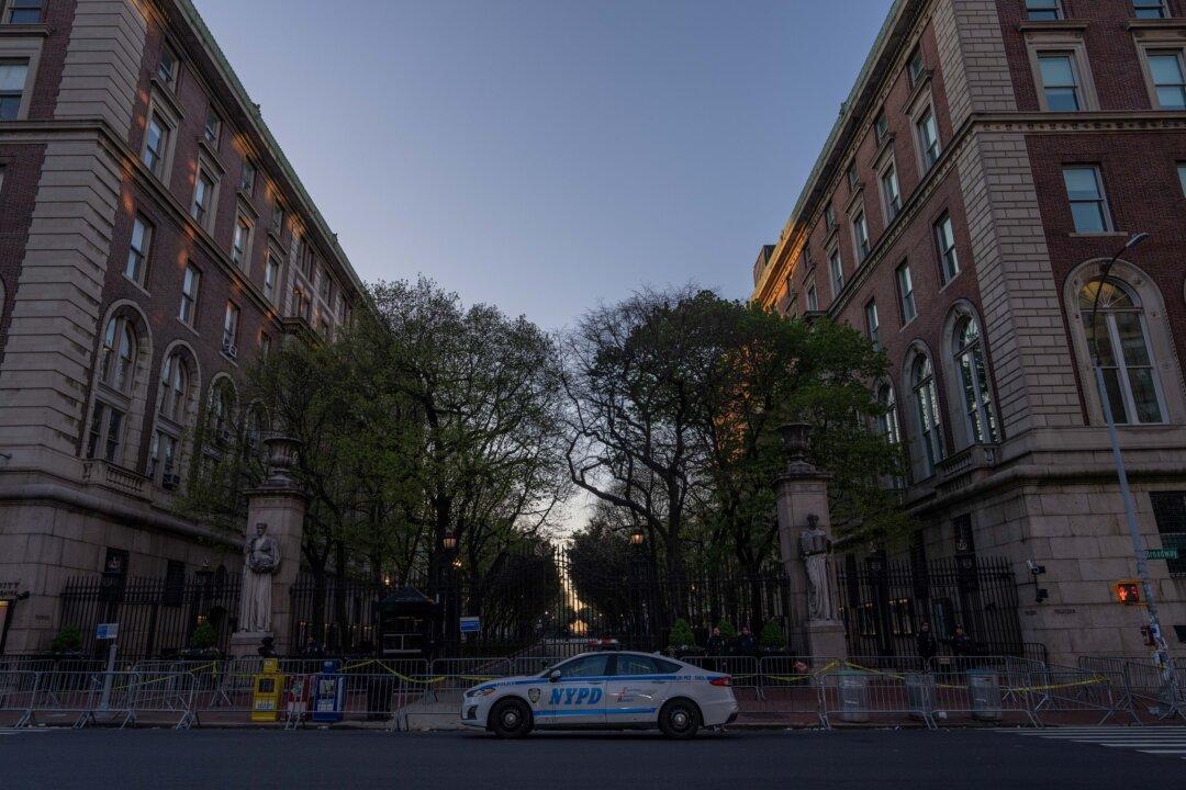
NYC Councilman on Israel–Palestinian Campus Protests: I Never Dreamed There‘d Be a US ’Movement to Back Terrorists’
‘Many of them are products of our universities. And that’s, that’s distressing, to say the least,’ said Democrat New York City Councilman Robert Holden.

Indo-Pacific Bill Could Allow Biden to Send More Weapons to Israel, Ukraine: Lawmakers
‘If the money were truly intended for Taiwan, Congress could directly appropriate it as such,’ said Rep. Harriet Hageman.


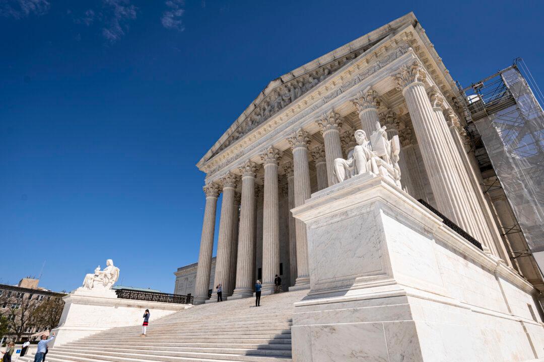
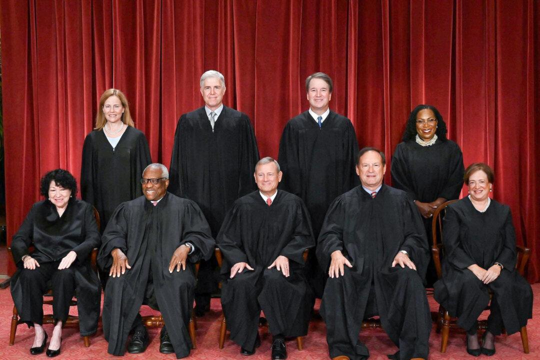
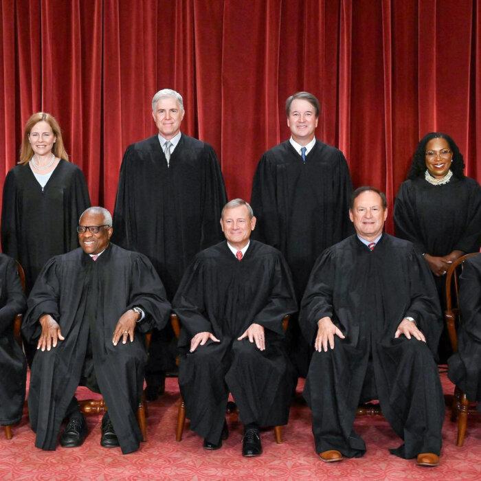
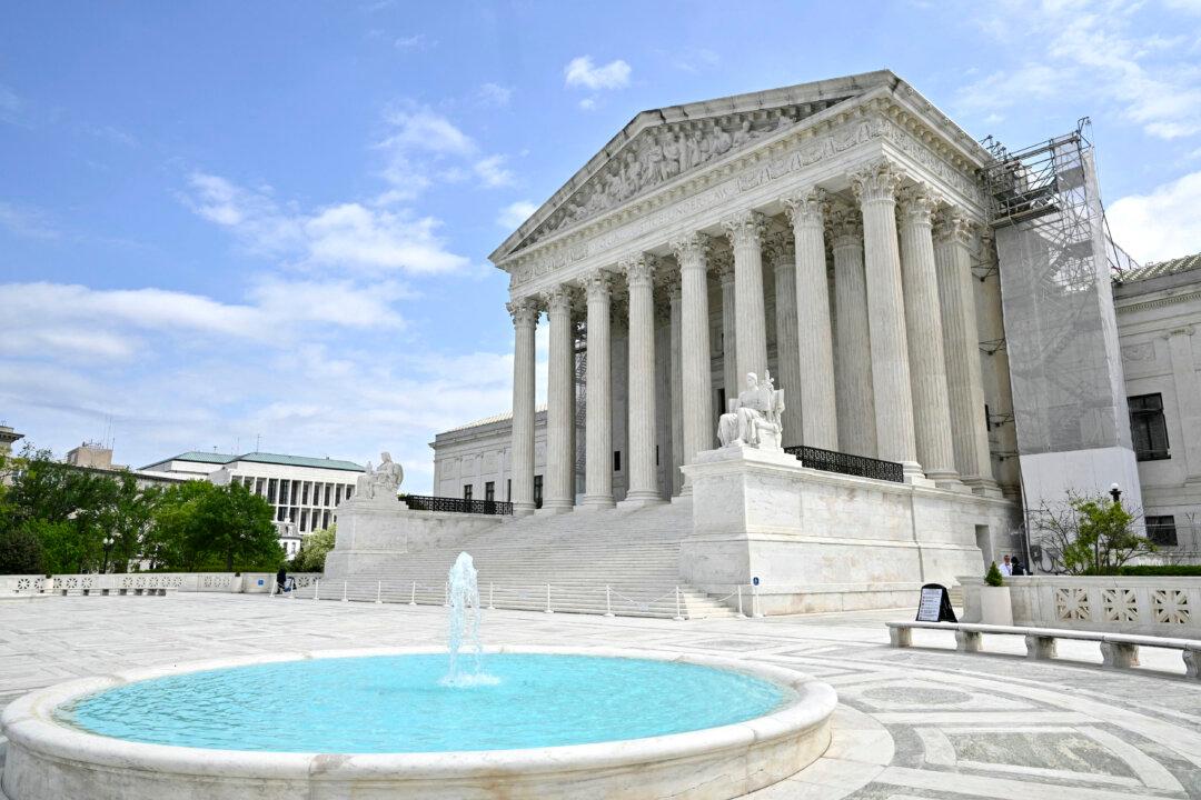
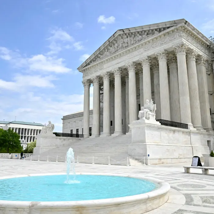
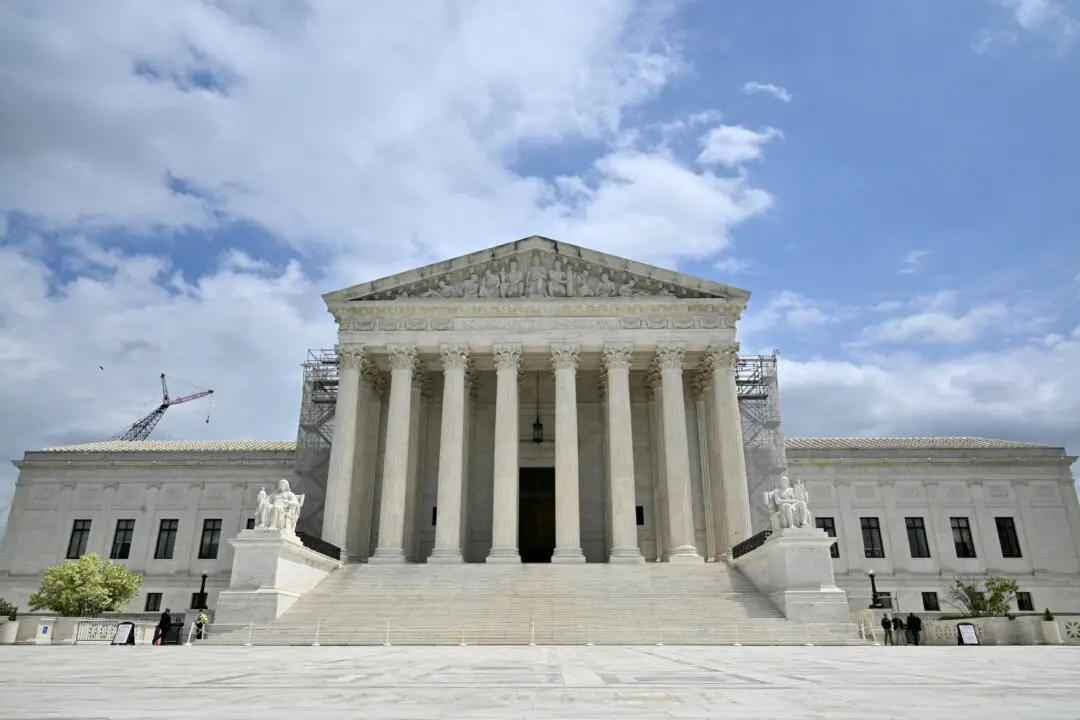
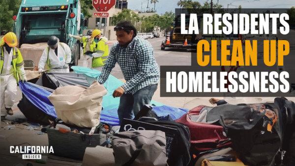
Can California Cities Clear Homeless Camps? Depends on Supreme Court Ruling
Justices heard arguments that laws against camping violate the Constitution’s ban on ‘cruel and unusual’ punishment. Cities hope for clarity.
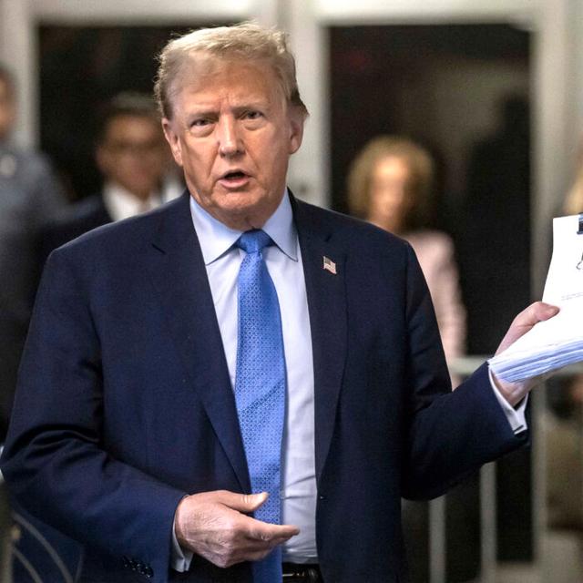
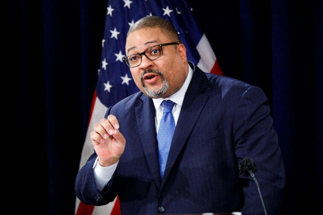
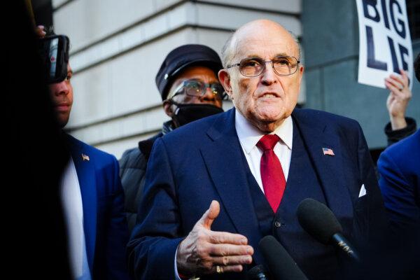
Trump ‘Hush-Money’ Witness Admits to Inconsistencies in Testimony, FBI Report
A witness revealed inconsistencies regarding an FBI report in the case.

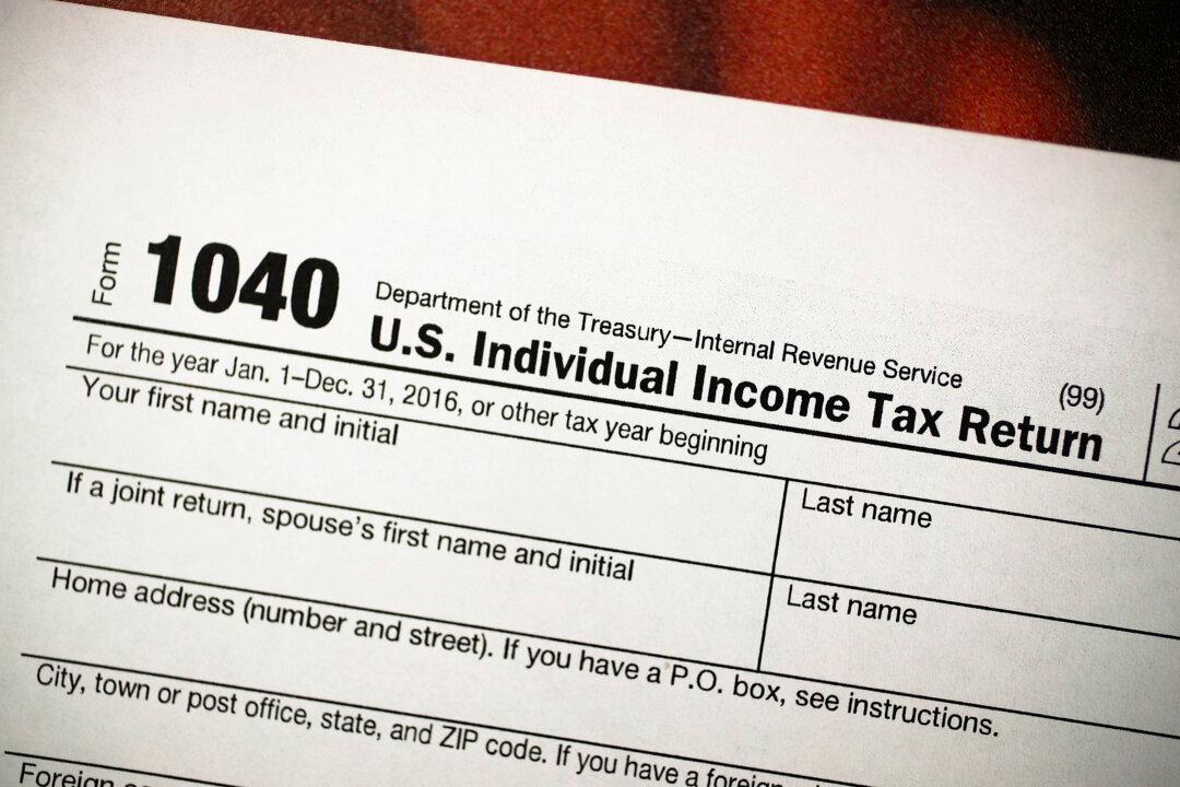
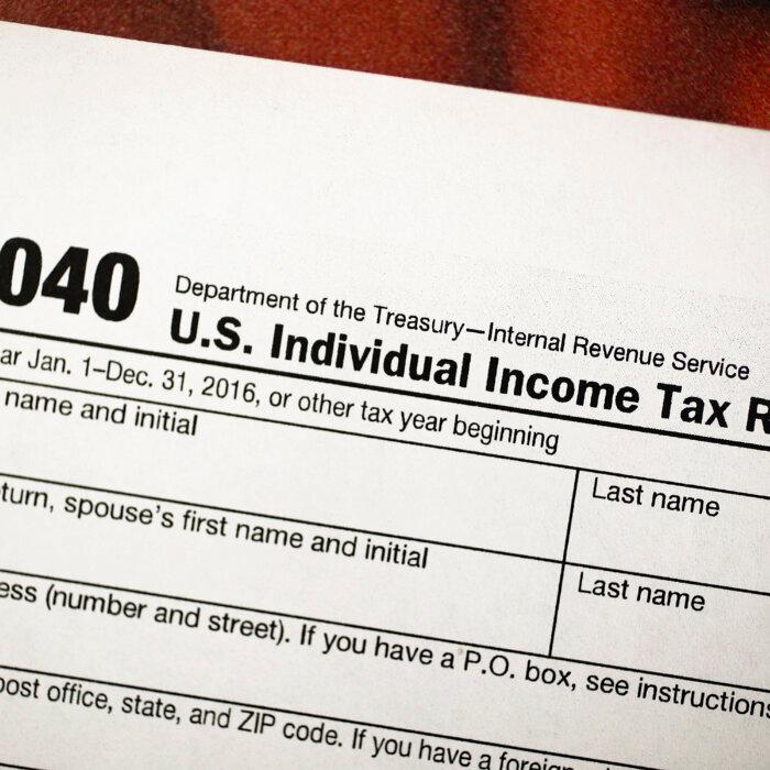
Group Issues Major Warning on Federal Agency’s Proposed Tax Increase
A policy group this week warned that the U.S. Department of Treasury’s proposed budget could significant increase taxes for certain Americans.
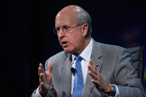
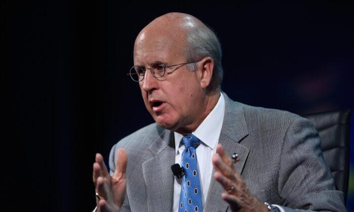
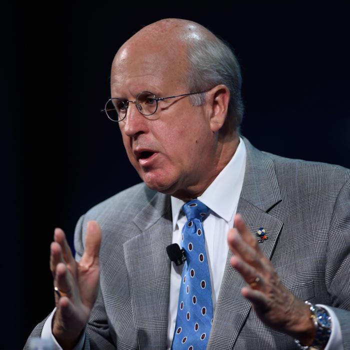
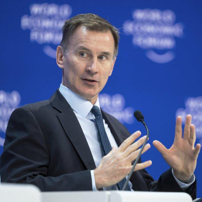
Washington’s Fiscal Mess Is Irresponsible, Unethical, Immoral: Former US Comptroller General
‘We’ve lost our sense of stewardship,’ David Walker said.
Trump Responds to Main ‘Hush Money’ Trial Witness’s Claims
The former president commented on former National Enquirer publisher David Pecker, the witness.


Editors' Picks


Supreme Court Seems Open to Allowing Some Presidential Immunity, May Delay Trump Trial
Justices wrestled with how to define a president’s ‘official’ versus ‘private’ acts. A decision may delay President Trump’s trial, which would hand him a win.


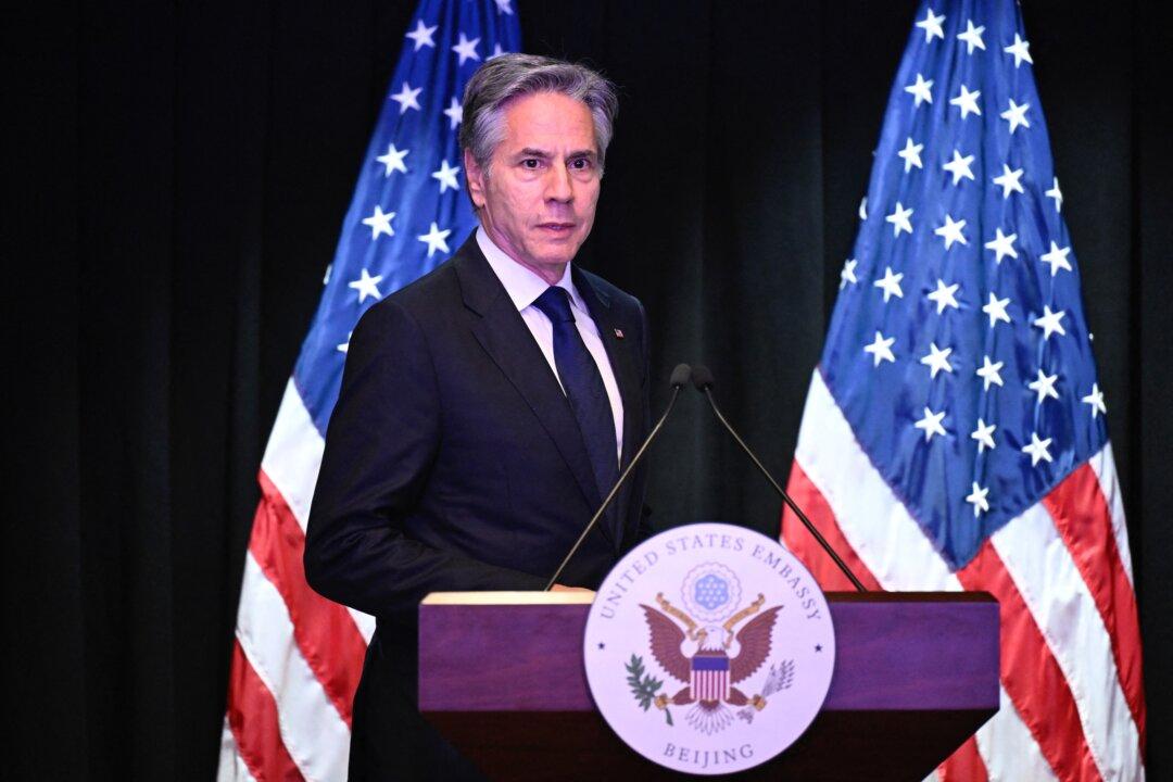
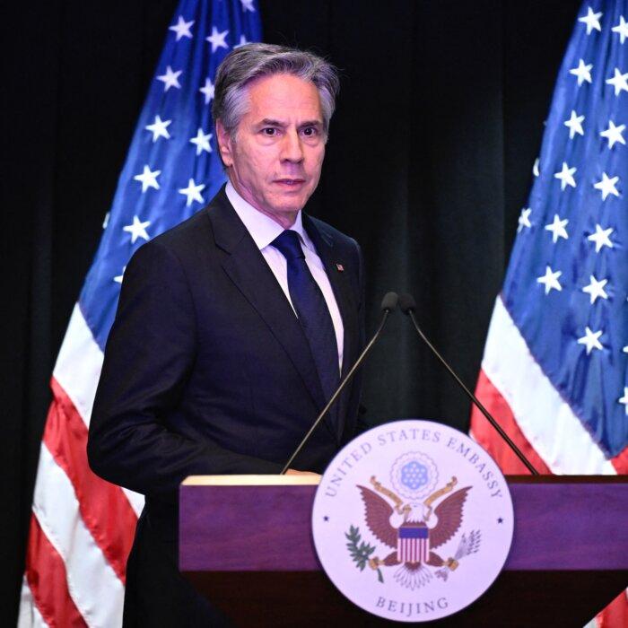
Blinken Meets CCP Leader Xi, Questions China’s Support for Russia’s War
Talks with the Chinese sides were ‘candid’ and ‘constructive,’ Mr. Blinken said at a press conference as he wrapped up his visit on April 26.
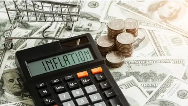
Fed’s Preferred Inflation Measure Rose More Than Expected
Next inflation stop will be the consumer price index.


Congressional Commission Demands CCP End Decades-Long Persecution of Falun Gong
Less than three months after the appeal, on July 20, 1999, the Chinese Communist Party launched the brutal persecution of Falun Gong adherents across China.


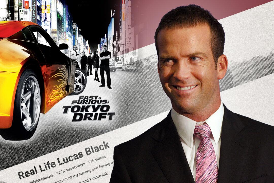
The ‘Fast and Furious’ Actor Who Left Hollywood for a Traditional Lifestyle
Lucas Black, who stars in the new film ‘Unsung Hero,’ takes his sons fishing and hunting, while instilling in them confidence and a sense of responsibility.
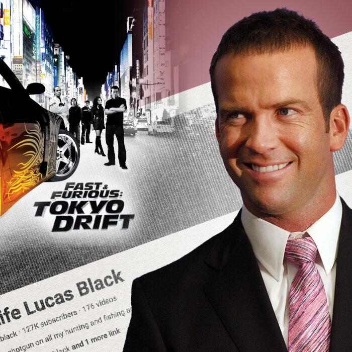
The ‘Fast and Furious’ Actor Who Left Hollywood for a Traditional Lifestyle
Lucas Black, who stars in the new film ‘Unsung Hero,’ takes his sons fishing and hunting, while instilling in them confidence and a sense of responsibility.
Epoch Readers’ Stories
A History Of The American Nation
A patriotic poem by Ted Schneider
Of Cars and Kids
Why should our kids have to settle for a Trabant, or a Pyonghwa, education when they could have a BMW?
A Nation Divided
Poem by an American Patriot
What Is Going on Here?
There are two major things plants need to survive and continue generating our life saving oxygen. The first is CO2, and the second is sunshine.
Inspired Stories
Empower the World with Your Story: Share Love, Inspiration, and Hope with Millions


Special Coverage
Special Coverage


Epoch Health

Potential Early Signs of Pancreatic Cancer: Insights From Clinical Cases
Pancreatic cancer can present with symptoms often associated with other illnesses—following the trail of such signs early on could help with early diagnosis.


Potential Early Signs of Pancreatic Cancer: Insights From Clinical Cases
Pancreatic cancer can present with symptoms often associated with other illnesses—following the trail of such signs early on could help with early diagnosis.
Bright

‘Run, Rose, Run’: Run Away With Dolly Parton and James Patterson
Set against Nashville’s vibrant music scene, this collaborative novel is a gripping tale of secrets, ambition, and the pursuit of a dream at all costs.


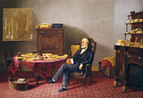
The Two Reputations of Robert E. Lee
While those in the past saw Lee’s stellar qualities, today, some cannot see that he was a man defined, like all of us, by his time.
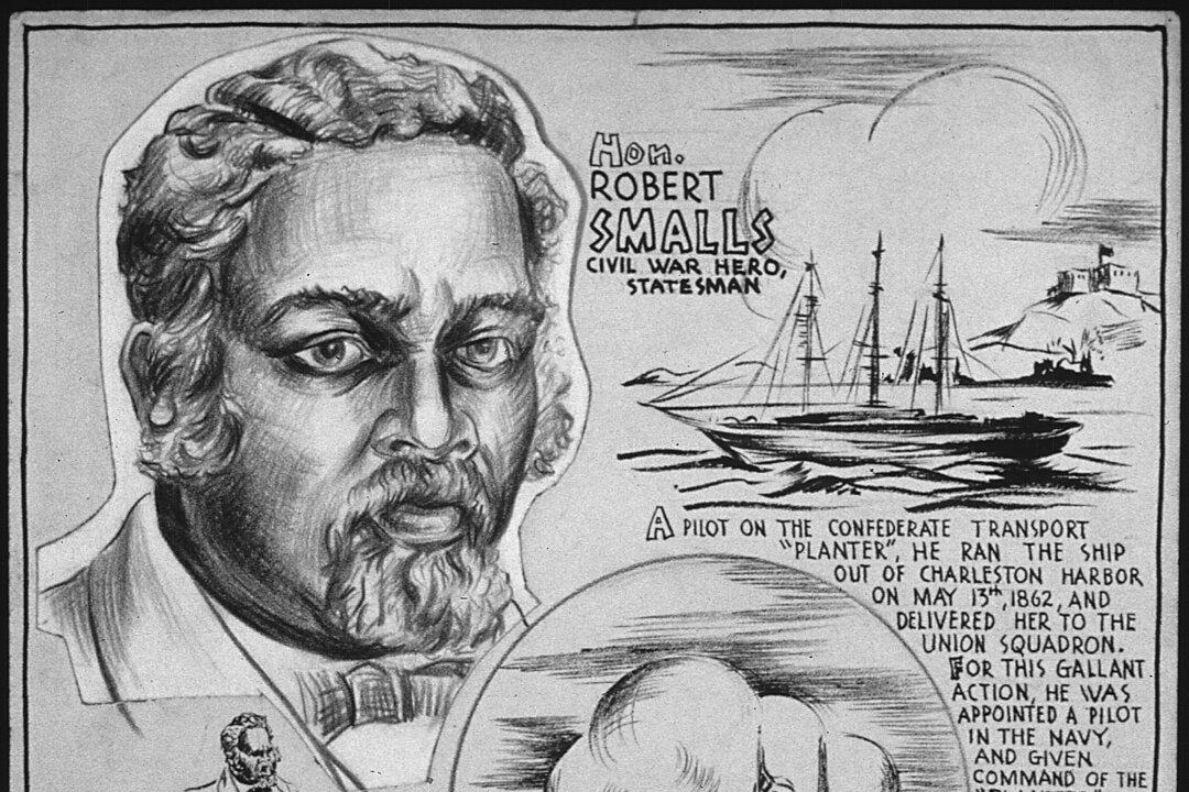
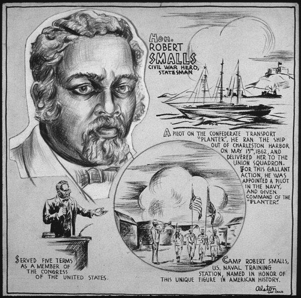
Robert Smalls: Navy Captain and Reconstruction-Era Politician
This former slave would not let anything stop him on the road to freedom.


‘Run, Rose, Run’: Run Away With Dolly Parton and James Patterson
Set against Nashville’s vibrant music scene, this collaborative novel is a gripping tale of secrets, ambition, and the pursuit of a dream at all costs.


US Shoppers Buy Less Bread in Bad News for Farmers
Cookie and cracker unit sales were down 3.4 percent from the previous year and grocery-aisle bread sales fell two percent.


Michigan Lawmakers Try to Put Brakes on Mackinac Island’s E-bike Riders
Mackinac Island doesn’t have cars but the speed of e-bikes are becoming a problem.

Taking the Kids: To the Smithsonian Museums
The Smithsonian Institution is the world’s largest museum, education and research complex.

Airbnb Rentals Could Be Harder to Come by in Hawaii. Here’s Why and When That Might Happen
New bills will give counties the power to limit short-term rentals amidst housing shortages.

Michigan Lawmakers Try to Put Brakes on Mackinac Island’s E-bike Riders
Mackinac Island doesn’t have cars but the speed of e-bikes are becoming a problem.