Tropical Cyclone Megan Likely to Form Over NT Coast

Tropical Cyclone Megan Likely to Form Over NT Coast
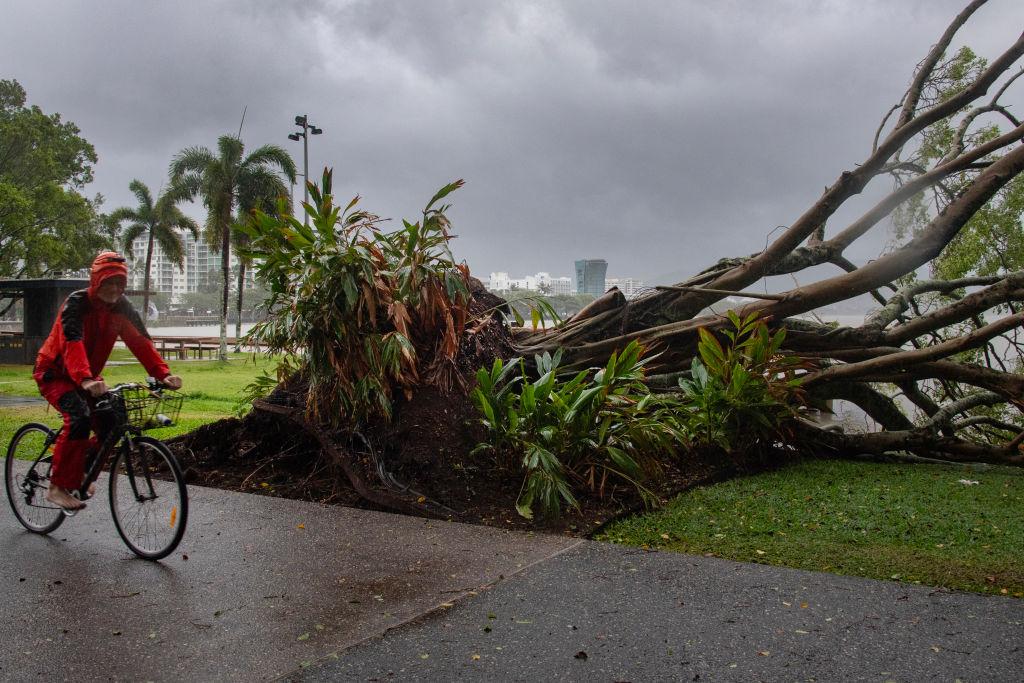
A man cycles past a downed tree as inclement weather from Cyclone Jasper impacts Cairns in far north Queensland on Dec. 13, 2023. (BRIAN CASSEY/AFP via Getty Images)
AAP
By AAP
3/15/2024
Updated:
3/15/2024
0:00

A possible cyclone is brewing over Australia’s northeast as residents brace for their second severe weather event in as many months.

The Bureau of Meteorology issued a cyclone watch for parts of the Northern Territory (NT) on March 15, saying there was a “high” chance of the current tropical low developing into Tropical Cyclone Megan on March 16.
The warning comes just a month after ex-tropical Cyclone Lincoln crossed the NT coast in the southern Gulf of Carpentaria as a category 1, bringing high wind, heavy rainfall and minor to moderate flooding.

“We could see some gale-force winds developing over Groote Eylandt as early as (March 15) morning, with gales also potentially developing over other Gulf of Carpentaria coastal areas later on Saturday (March 16) or Sunday (March 17),” the bureau’s Rebecca Patrick said.

“We could see some very heavy rainfall, particularly in those coastal locations and also extending further south as we go into Sunday (March 17) and early next week.”

NT Incident Controller Superintendent Daniel Shean said the operations centre had been preparing for the latest event since March 11.

“Communities across the Top End have adequate food supplies, critical goods and essential services to last through this weather event,” he said.

“It has been fast moving and local controllers in each one of the communities have been engaging.”

Police in the communities have been warning residents of the oncoming threat.

The weather system is lying near the eastern coast of the NT, with a monsoon to the north that is moving towards the Gulf of Carpentaria.

The watch zone includes the Alyangula community on Groote Eylandt across to the Queensland border, including Borroloola but not including Ngukkur.

It is forecast to reach category 2 intensity with winds between 126 and 164 km/h.

Parts of the top end are already experiencing heavy rainfall, which is likely to increase over the weekend.

The heaviest falls are expected on coastal and island locations on March 16, before reaching further inland into the Carpentaria district on March 17.

The weather event will then weaken and is likely to move west through the NT as a tropical low, bringing heavy winds and rain.

The weather bureau has also issued dangerous surf warnings along the Arafura Sea on March 15, with gale-force winds likely to bring waves of up to 4.5 metres.

The heavy surf risked coastal erosion and damage in parts of the north Arnhem district.

Residents in Galiwinku and Cape Wessel have been warned to stay away from coastal areas as the cyclone forms over the region.

Flood warnings are in place for the Victoria, Daly and Katherine rivers.

Ex-Tropical Cyclone Lincoln dumped heavy rain and winds over the region in February, triggering flood watches and warnings in northwest Queensland, the NT and northern Western Australia before moving offshore.

Australian Associated Press is an Australian news agency.