NEW DELHI—Three years after the bloody Galwan Valley clash, experts say China’s upgrade of two sparsely populated areas in Tibet is intended to bolster its military status along the hotly contested India–China border.
The Galwan Valley clash in June 2020 was the first deadly bloodshed between the two superpowers in 45 years. Fought with sticks and stones rather than guns and tanks, the melee left 20 Indian soldiers and an unknown number of Chinese fighters dead.
Despite negotiations following the clash, China has continued to bulk up its presence along the disputed Line of Actual Control (LAC) that runs between the Tibet Autonomous Region (TAR) and India’s state of Arunachal Pradesh. Satellite images from February 2023 provide evidence that China has been constructing villages and military infrastructure near the LAC.
New Cities Strengthen China’s Forward Position
Milin and Cuona—which were previously called either towns or counties in Western media reports—lie on the contentious border between China and India.The population of Milin is only 24,665, while that of Cuona is 13,932, according to the upgraded cities’ respective websites.
Milin, also known as Mainling, covers 115 miles of the Indian frontier. Despite its small size, it is a transport hub that links by rail to the regional capital of Lhasa. It lies on a route that links Tibet and Xinjiang, as well as having its own airport.
Cuona, also known as Cona, borders Bhutan to the southwest and lies across the disputed border from Tawang, one of India’s holy sites.
A portion of the area that China claims as part of the new city is currently controlled by India, noted a South China Morning Post report.
The Chinese media described the Indian territory across these counties as a part of China, while Indian experts decried the move as an attempt to strengthen the Chinese Army’s forward position on the border.
The Chinese report refers to “90,000 square kilometers of Chinese territory [that] is still illegally occupied by India.”
The “90,000 square kilometers” in the eastern Himalayas that the Chinese claim is actually Arunachal Pradesh, which also shares a border with Bhutan and Burma.
History of Arunachal Pradesh
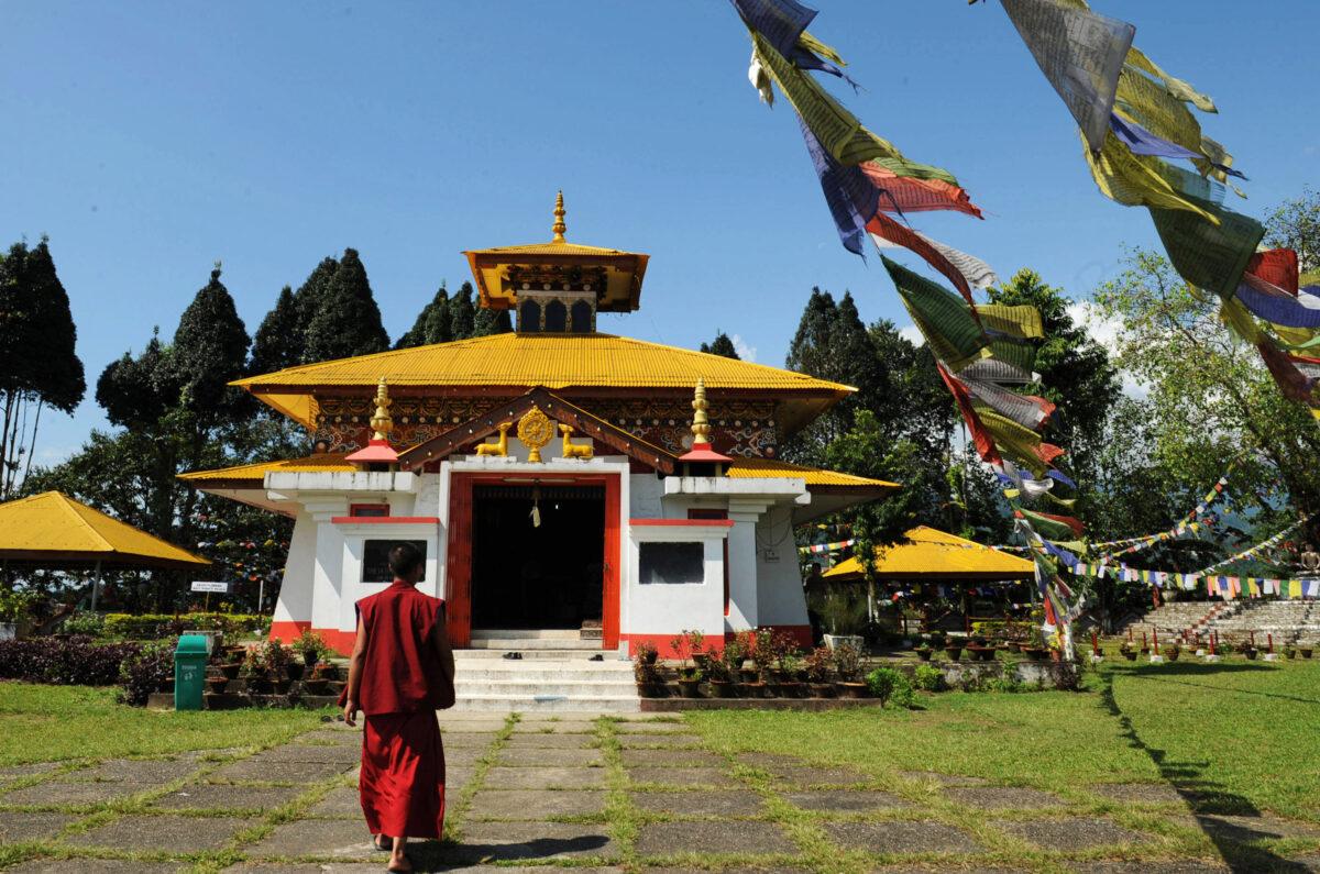
Arunachal Pradesh was known during the British colonial era as the North East Frontier Agency. The area was part of Assam until it was made a federally governed (union) territory of India in 1972 and renamed Arunachal Pradesh. In 1987, it was given the status of a state under the Indian constitution.Arunachal Pradesh is a seat of Vajrayana Buddhism and houses the four-century-old Tawang monastery, one of the biggest Buddhist monasteries in Asia and one of India’s most popular pilgrimage sites.
![Milin [Mainling] and Cuona [Cona] counties in the Tibet Autonomous Region (TAR) along the border with India's Arunachal Pradesh were upgraded to cities on April 3, 2023. (Screenshot of Google map)](/_next/image?url=https%3A%2F%2Fimg.theepochtimes.com%2Fassets%2Fuploads%2F2023%2F06%2F15%2Fid5335654-Screen-Shot-2023-06-15-at-21.00.36.png&w=1200&q=75)
Following the Sino–Indian war of 1962, relations between China and India deteriorated and border disputes emerged. These have escalated in recent years with the Doklam standoff in 2017 and 2020’s deadly clash in the Galwan Valley.
The Chinese regime had already done this for various places in Arunachal Pradesh over the last few years. The first batch of six modified names was issued by China in 2017, in what Indian media called a retaliatory move following a visit by the Dalai Lama. Another 15 locations were renamed in 2021.
In the past few years, Chinese and Indian soldiers have engaged in several minor altercations in this region.
In the United States, there has been strong support for India in the ongoing dispute. In a rare show of solidarity, a bipartisan bill was introduced in the U.S. Congress on Feb. 16 reaffirming Arunachal Pradesh as an integral part of India, and condemning Chinese “aggression and security threats” against India.
Vice Admiral Shekhar Sinha, the former chief of India’s Integrated Defense Staff, told the Epoch Times in a written message that by claiming Arunachal Pradesh, China aims to secure its own periphery.
“Historically, peripheral areas have created problems for the Middle Kingdom by remaining independent countries. China had to fight wars to gobble them up,” he said.
Enhancing Control, Strengthening Defense
Further, Indian experts believe that upgrading the frontier areas into cities is a strategic move to build the Chinese army’s forward defense.Abhishek Darbey is a research fellow in the Chinese Research Program at the Center for China Analysis and Strategy (CCAS), based in New Delhi. Darbey told The Epoch Times that the new cities will be directly administered by the CCP administration of Tibet. This should allow the region’s central government to fast-track infrastructure development on the border.
“In fact, the whole exercise of upgrading the border counties to cities is to bring the LAC areas directly under the jurisdiction of the TAR government from the prefectural level administration,” said Darbey.
Other counties claimed by China and sharing borders with Arunachal Pradesh include Medog County, Chayu County, and Lang County. It’s likely that these will also be transformed into cities, allowing the entire border region can be developed in faster mode to further PLA’s military operation plans, said Darbey.
Darbey said that Milin and Cuona can serve as strategic points in a future struggle against India. As infrastructure development is followed by migration from neighboring areas, the demography of the areas will gradually change.
“Such a scenario might enhance the civil-military integration in the frontier … and it [will] strengthen defense and security of the borders,” he said.
Sinha said that building a city-level infrastructure near the border gives legitimacy to Chinese claims on the territory, which became a part of China only after Mao annexed Tibet in 1950.
China’s Urbanization Drive
Arbitrarily changing a community’s status may seem foreign to Westerners, but it has been a Chinese practice for decades.As part of an “urbanization” drive, China converted many counties into cities in the 1980s and 1990s, but in the past two decades, only a few counties have been successfully transformed into cities. These counties are mainly concentrated in frontier and minority areas.
In China, “city” is a designation indicating that a certain area is under the jurisdiction of a municipal-level government. There are six levels of city denoting levels of autonomy, from the lowest, a county-level city, to the highest, a special administrative region municipality (such as Hong Kong). There are currently over 300 county-level cities in China.
Darbey warned that it is urgent for India to understand the reasons behind the upgrades along the LAC. Further, it is imperative that India strengthen its defense and security in this region.
Increasing the Indian population of the region is a start, he said. “Paving roads close to [the LAC] and opening these areas for tourism can be [a] good action. A lot is happening already, particularly in Ladakh. Now it would probably be happening in the northeast as well,” said Sinha.
He referred to India’s northeast, which is frontiered by the eastern Himalayas and includes multiple Indian states, including Arunachal Pradesh.