The head of BOM long-range forecasts, Andrew Watkins, said the bureau’s three-month climate outlook shows a high chance of above-average rainfall for most of the eastern half of the Australian mainland and eastern Tasmania.
“During La Niña events, waters in the eastern tropical Pacific Ocean are cooler than normal, and waters in the western tropical Pacific Ocean warmer than normal. This causes changes in wind, cloud and pressure patterns over the Pacific,“ BOM said. ”When this change in the atmosphere combines with changes in ocean temperature, it can influence global weather patterns and climate, including increasing rainfall over large parts of Australia.”
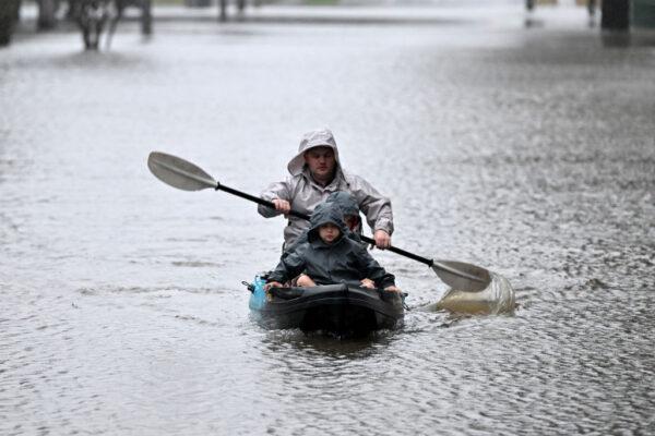
Watkins said that forecasters advise communities in eastern Australia, which has seen above-average rainfall for the past two and half years, should be prepared for above-average rainfall over spring and early summer. They believe that the weather pattern is weaker this time around and may peak during spring before easing during summer.
Continued Weather Pattern to Influence Global Rainfall
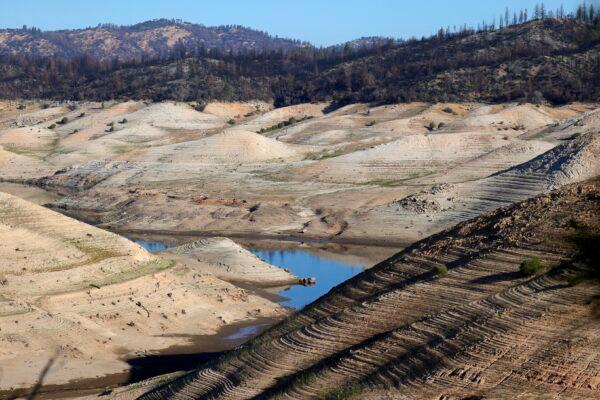
According to the U.S. National Oceanic and Atmospheric Administration (NOAA), during periods of La Niña, trade winds are even stronger than usual, pushing more warm water toward Asia. Off the west coast of the Americas, upwelling increases, bringing cold, nutrient-rich water to the surface.These cold waters in the Pacific push the jet stream northward. This tends to lead to drought conditions in the southern U.S. and heavy rains and flooding in the Pacific Northwest and Canada. La Niña can also lead to a more severe hurricane season.
“The worsening drought in the Horn of Africa and southern South America bear the hallmarks of La Niña, as does the above average rainfall in South-East Asia and Australasia. The new La Niña Update, unfortunately, confirms regional climate projections that the devastating drought in the Horn of Africa will worsen and affect millions of people,” Taalas said.
East Coast of Australia Should Expect More Floods
Meanwhile, Watkins warned Australians that the weather event was looking more dire because it was combining with two other weather events in the Indian Ocean and the Southern Ocean.“La Niña is not the only driver influencing this wet outlook. To our west, a significant negative Indian Ocean Dipole (IOD) event is underway,” Watkins said. “The Southern Annular Mode (SAM) is also in a positive phase and likely to remain positive into summer.”
“Positive SAM during summer pushes weather systems south, which increases the chance of rain in New South Wales, eastern Victoria and southern parts of Queensland,” he said.
He said all these climate influences push Australia’s climate towards a wetter phase and together have shaped the outlook for the coming months that show more than 80 percent chance of above-average rainfall for many parts of the eastern half of Australia.