Another cyclone is set to threaten Australia’s flood-hit regions as heavy rain continues.
A tropical low in the Coral Sea is set to turn towards the Queensland coast this weekend, with the system most likely becoming a tropical cyclone by Jan. 22.
The Bureau of Meteorology said it could strengthen to a category 3 system or higher, possibly making a “severe impact” on the Queensland coast.
A cyclone could cross the state’s east coast from Jan. 23 but it was too early to predict where it would make landfall.
“The earliest possible [impact] is in the latter part of Tuesday but that’s not particularly likely,” a bureau spokesperson said.
“We’re looking beyond that to get a better idea of when it might actually affect the Queensland coast.”
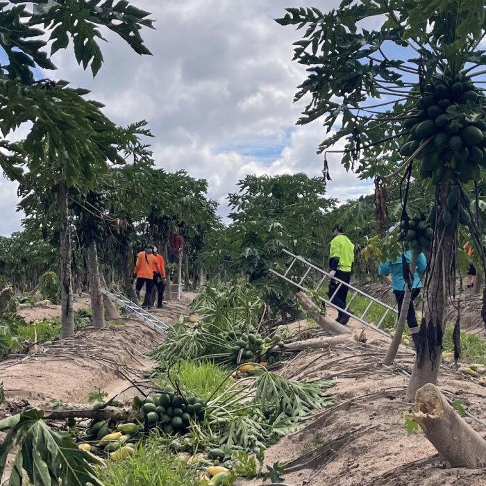
Queensland’s far north is still recovering from record flooding caused by Cyclone Jasper just weeks ago.
“It’s still very early, the models suggest that it’s still very unpredictable but we expect to know more over the weekend,” Queensland Premier Steven Miles said of the latest cyclone threat.
Meanwhile, a monsoon trough continues to produce heavy rain in the Northern Territory, with about 100 people from Pigeon Hole and Daguragu evacuated from floodwaters late on Thursday.
Authorities are also on standby at Daly River with flood levels being monitored after widespread falls of 100mm to 150mm were recorded in the NT.
There is a flood warning for the Daly River which is at 12.9m as well as the Victoria River catchment where road crossings have been cut.
There is a severe weather warning current covering most of the NT from the base of the Top End down to south of Tennant Creek.
A tropical low is over Elliott in central NT but is not expected to become a cyclone threat, the bureau said.
The slow moving low is expected to remain inland for seven days as it rolls across the Top End and into Western Australia early next week.
“Over the weekend we expect to start to see it take a bit more of a westward track,” the bureau spokesperson said.
“We’re going to start to see it pick up a bit of momentum as well so it won’t be quite as slow moving once it does start heading to the west.”
Warm, humid and stormy conditions are likely across large tracts of Queensland and north eastern NSW on Thursday, with severe storms delivering heavy rain, damaging winds and potential flash flooding.
About 150 properties at Orara River, near Grafton in the state’s Northern Rivers region, have been left isolated and could remain cut off for several days but the State Emergency Service is confident it can get supplies to residents where needed.
The agency responded to about 200 incidents statewide between midday on Wednesday and Thursday morning.
Sydney was hit with heavy rain overnight, including 49mm at Penrith and nearly 40mm in the city centre.