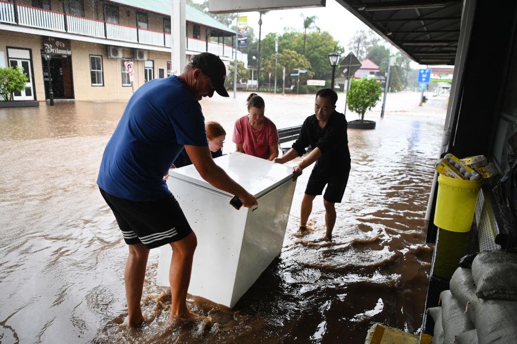
Residents of Sydney and surrounding areas are being urged to stay indoors as damaging winds and heavy rain sweep through, causing life-threatening flash flooding.
Drivers are being warned to avoid non-essential travel as the dangerous storm system hits along Australia’s eastern seaboard.
An inland low and coastal trough joining forces over New South Wales (NSW) is forecast to bring heavy localised falls to much of the state on April 5.
Authorities warned 24-hour totals could top 200mm in Sydney and the south coast, with as much as 300mm dumped on the Illawarra Escarpment overlooking Wollongong.
The intense downpours could lead to “dangerous and life-threatening flash flooding” from April 5 evening, NSW’s State Emergency Service said in a watch and act warning just after 5am.
The SES is urging residents of Sydney, Gosford, Wollongong, Nowra, Batemans Bay and Goulburn to “stay indoors” due to the dangerous weather.
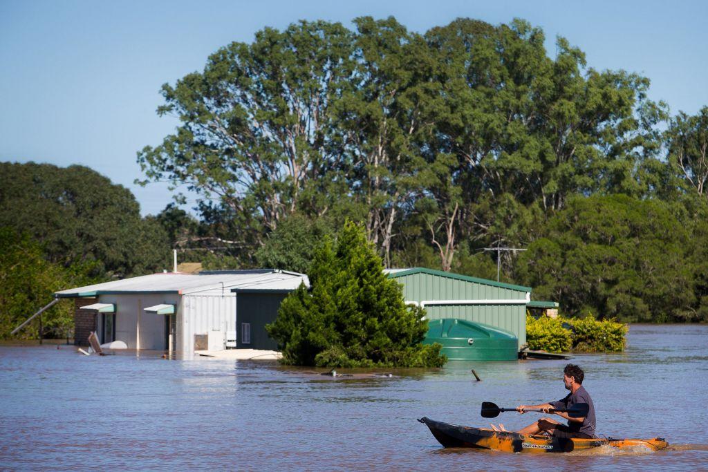
Major flooding was possible along the Hawkesbury Nepean River bounding Sydney from late April 5, with Penrith likely to cop as much rain in a day as one-and-a-half Aprils.
Transport NSW took the rare step of warning drivers statewide to avoid non-essential travel.
The storm has already claimed a life in Queensland after the body of a man was found by his ute near Logan, while a 30-minute wave of rain in northern NSW flooded enclosures at a wildlife sanctuary on April 4.
“Due to the amount of water dumped into the park, we have relocated our animals and the hospital (has been) re-located to a higher position,” Byron Bay Wildlife Sanctuary said.
With the catastrophic 2022 Northern Rivers floods fresh in minds, the SES said the silver lining for Friday’s (April 5) system was that it was moving.
“If we go back to those northern river floods, it didn’t move as forecast,” NSW SES Commissioner Carlene York said.
“It stayed there, it kept dumping the rain and that’s obviously had the big impact.”
Her legion of volunteers have proactively deployed vehicles and vessels into danger areas.
Residents in such areas should clear gutters and tie down loose items ahead of time, Metro Zone Commander Allison Flaxman said.
She urged them to download the official Hazards Near Me app to stay abreast of latest warnings.
“The forecasts are quite severe,” she said on Thursday afternoon, April 4.
“We don’t want anybody under-estimating the impacts this could have on you.
The weather bureau said catchments were fairly wet in the north and average to dry around Sydney and the south coast.
But the prospect of water releases down the Hawkesbury Neapan River mean Australia’s largest urban water supply dam threatens to spill.
Warragamba Dam, on Sydney’s southwestern fringe, sat at 96 per cent capacity as Friday’s storm approached.