
Hurricane Lee is expected to lash parts of the Maritimes with strong winds and heavy rain this weekend, but the Canadian Hurricane Centre says much of its strength will be sapped by cooler sea-surface temperatures as it moves north.
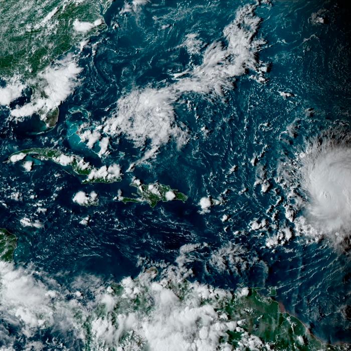
By early Tuesday afternoon, the Category 3 hurricane was about 900 kilometres south of Bermuda, churning out winds at 185 kilometres per hour. The slow-moving storm was forecast to make a turn to the north on Wednesday and then accelerate toward Canada.
The hurricane centre in Halifax issued a statement Tuesday saying the approaching storm is expected to slow the progress of the front of an air mass, increasing the risk of heavy rain over the Maritimes on Thursday and Friday.
“As of now, western Nova Scotia has the higher possibility of impacts, which is worth noting since that region wasn’t impacted by recent storms like Dorian (in 2019) and Fiona (in 2022),” the statement said, referring to powerful post-tropical storms that made landfall farther to the east in Nova Scotia.
Though Lee could enter Canadian waters as a hurricane, it is expected to transition to a post-tropical storm as is moves northward.
Environment Canada meteorologist Ian Hubbard said the storm is expected make landfall on Saturday or Sunday. He said it was too early to offer specific predictions about wind speeds.

“There will be quite a diminishing of wind before it comes anywhere close to land,” he said. “That’s a good thing.”
Hubbard said the storm is expected to be considerably weaker than Fiona, which roared across Atlantic Canada almost a year ago, causing widespread damage and killing two people. Still, Lee could dump between 50 to 100 millimetres of rain on some areas, he said, adding that the heaviest rain typically falls on the left side of the storm’s track.
The strength of Lee’s winds will drop as it crosses over parts of the Atlantic churned-up by hurricane Franklin and hurricane Idalia in recent weeks.
“They both left in their wake an area of cooler water that wasn’t there beforehand,” Hubbard said from the hurricane centre in Halifax. “That does reduce the fuel supply for these hurricanes, as they like to feed on that warm water.”
As a result, Lee is not expected to produce hurricane-strength winds, which are above 119 km/h, once it reaches the Atlantic region.
“This is going to be a much weaker storm (than Fiona) in terms of what its winds are,” Hubbard said.
But that doesn’t mean the region’s residents should relax. The storm will expand during its transition, and its heavy rain and gusts could still do damage.
“Don’t let your guard down just because it’s no longer a hurricane,” Hubbard cautioned. “All of the energy of the hurricane is still present, and as it goes post-tropical, those wind fields actually get larger than a compact hurricane. In some ways, more people could be affected.”
The centre’s statement confirmed that view: “Since it will be a rather broad system, the rain, wind (and) waves would affect most of the Maritime provinces .... Lee will be much weakened before reaching Newfoundland.”
Meanwhile, rough surf conditions and rip currents are expected along the Atlantic coast of Nova Scotia, particularly on Friday.