Environment Canada has issued a series of weather warnings across the country with winter storms, heavy snowfall, and freezing rain expected in several regions.
A winter storm featuring heavy snowfall and powerful winds is forecasted to move through eastern British Columbia and the Prairies today and continue into the morning of Feb. 19.
An incoming low pressure system will bring snow to southeastern B.C. with as much as 25 centimetres expected by late afternoon. The snow will taper off late on Feb. 17 as the system moves eastward through the Prairies, Environment Canada says, warning of potentially dangerous travel.
The storm will hit a large swath of Alberta, bringing “hazardous, blizzard-like” conditions to Calgary, Edmonton, Lethbridge, Medicine Hat, and Red Deer that are expected to last through the evening hours, Environment Canada said in its warning.
Total snowfall accumulations in the province are projected to range from 15 to 25 centimetres, with certain regions anticipated to receive up to 40 centimetres, especially in parts of east-central Alberta.
Strong winds, gusting up to 80 kilometres per hour in some areas, will cause “very poor visibility” due to blowing snow, causing periods of near zero visibility for drivers, the weather agency said.
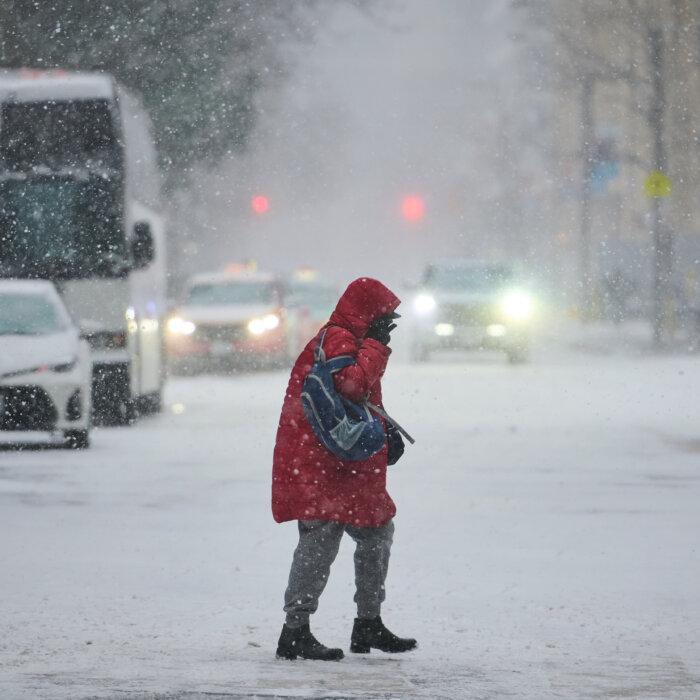
“Road closures are possible,” Environment Canada added. “Consider postponing non-essential travel and outdoor activities until conditions improve.”
Heavy snow also hit Saskatchewan on Feb. 17 as the storm advances eastward, dropping as much as 35 centimetres of snow on Regina and Prince Albert. Those living in the southern part of the province can expect blowing snow combined with strong easterly winds of up to 80 kilometres per hour, Environment Canada said.
The agency is predicting dangerous driving conditions and possible road closures.
The strong winds will spread eastward through the day and reach southwestern Manitoba late this afternoon.
A long period of heavy snowfall with up to 25 centimetres is expected for much of southern and western Manitoba beginning this evening. The agency said some areas can expect as much as 30 centimetres of snow.
Freezing rain is also forecast for southeastern Saskatchewan and southwestern Manitoba, Environment Canada said, adding that “roads and walkways will likely become icy and slippery” and utility outages are likely.
Ontario
The winter storm is expected to continue its eastward path to hit Ontario tonight.Northwestern Ontario could receive 20 centimetres of snow and can expect reduced visibility due to wind gusts reaching 60 kilometres per hour.
“The heaviest snow is expected to fall near the American border, south of the city of Thunder Bay,” Environment Canada said. “There remains some uncertainty with the track of the system, therefore, snowfall amounts and areas affected could change.”
Fog advisories are in place for regions close to the Great Lakes.
The storm is also expected to bring freezing rain and ice pellets to southern and eastern Ontario. Accumulation will begin early on Feb. 18 and result in up to 15 millimetres of ice buildup and potential utility disruptions in areas like Toronto, Hamilton, Guelph, Kitchener, and Stratford.
The agency said regions east of Highway 400 may receive little to no freezing rain, but could expect ice pellets and snow instead, impacting areas as far north as Owen Sound and Collingwood and further east in Peterborough and Belleville.
“There remains some uncertainty with the track of this system as such, snowfall amounts and areas affected could change,” Environment Canada said.
Eastern and Northern Advisories
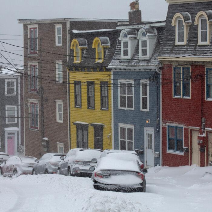
Old Man Winter is mostly bypassing Quebec and Atlantic Canada, but a strong winter storm will hit the eastern and northern parts of Newfoundland and Labrador today, resulting in snowfall amounts ranging from 25 to 50 centimetres through Feb. 18. Wind gusts may reach up to 80 kilometres per hour, which will impair visibility, the weather agency said.St. John’s, the Avalon Peninsula, Terra Nova, and the Bonavista Peninsula all fall within the advisory, which says “locations inland and over higher terrain have the best chance of seeing the upper end of the forecast range.”
The heaviest snow is expected to taper off late on Feb. 18, but periods of snow and freezing drizzle will continue into the weekend, resulting in additional snowfall accumulations.
Environment Canada has also issued advisories for the Northwest Territories and Nunavut. Both regions can expect extreme cold, with wind chills ranging from -50 and -60 in communities like Yellowknife, Sachs Harbour, Cambridge Bay, Resolute, and Pond Inlet.