Extreme cold and bitter winds are pushing in from the Arctic through Yukon, the Northwest Territories, B.C., Alberta, and Saskatchewan, bringing wind chill temperatures to as low as -55 C in some regions.
The warnings of “the first arctic intrusion of the year” from Environment Canada cover parts of the territories, much of central and northern British Columbia and northern sections of Alberta and Saskatchewan.
The forecaster says the arctic air mass has settled over Yukon and the Northwest Territories with temperatures near -40 C and wind chill drop to -55 before temperatures turn more seasonal by Jan. 13.
An arctic outflow warning has also been posted for B.C.’s northern and central coast, bringing bitterly cold winds by late on Jan. 10.
Snow leading up to the warnings triggered multiple crashes on B.C. highways, including an incident where the bus for the Western Hockey League’s Seattle Thunderbirds slid into a ditch near Kelowna, although no one was hurt.
Environment Canada says extreme cold puts everyone at risk, but the risks are greater for children, older adults, people with chronic illnesses, those working or exercising outdoors, and people who don’t have proper shelter.

“Watch for cold-related symptoms: shortness of breath, chest pain, muscle pain and weakness, numbness and colour change in fingers and toes,” Environment Canada says in its forecast.
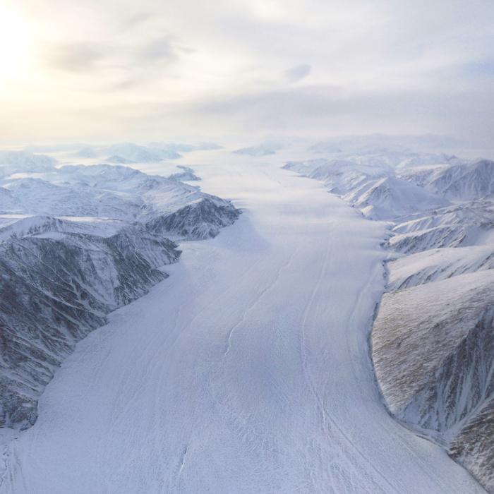
The arrival of cold in B.C. after a warm start to winter brought snow, wind, the threat of avalanche, storm warnings, high waves, power outages, and dangerous highway conditions.
A forecaster with Avalanche Canada says outdoor enthusiasts shouldn’t let their excitement over recent heavy snowfalls override the need for caution.
James Floyer says while some might feel the dump of snow means the “gates to Nirvana have opened” on Western Canada’s mountains, the snow will take until at least Jan. 12 to settle, and will be particularly susceptible to avalanches in the meantime.
Some areas, including the backcountry around Whistler, B.C., and Golden in the Kootenay region, could be at risk of slides for longer because the fresh snow came on top of a “persistent weak layer” in the snowpack.
Mr. Floyer says anyone spending time in the backcountry should keep a close eye on the avalanche forecast.
He says the bitterly cold temperatures forecast for this week could help lower the avalanche risk by binding snow to the mountains.
“It’s absolutely a time to go out into the mountains, but it’s the time to do it cautiously,” Mr. Floyer said.
“Enjoy the snow, by all means, but make sure you check the avalanche forecast before you go and make sure you match terrain conditions.”