The area covered by Australia’s long-term inland water bodies has more than doubled since 2019, according to data by the Australian Bureau of Statistics (ABS).
New technology means scientists are now able to view terrain down to a resolution of 30 metres, and gain a more accurate understanding of the land. Previously, the highest definition possible was 250 metres.
Helen Fox, ABS head of environmental statistics, said the new release of the National Land Cover Account, covering 2024, is the most detailed ever, meaning scientists have far better insights into the impacts of climate on land cover types.
Australia’s water bodies always greatly expand during La Niña weather events, which was last experienced from 2020 to 2023.

Although long-term water bodies reached similar levels to past La Niñas, the short-term coverage was noticeably smaller.
“In 2024, long-term inland water bodies were at their largest extent since 2011 and the second largest overall since the data started in 1988,” Fox said.
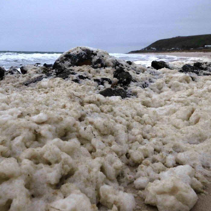
These areas, such as Lake Eyre, sometimes supply water for human use and agricultural irrigation, and they are also vital habitats for native wildlife.
However, since 2019, artificial surfaces overall have shrunk 4.6 percent, with most of that land being converted to orchards, farmland, and tree-covered areas.
Overall, it accounts for just 0.1 percent of the country’s land cover in 2024.
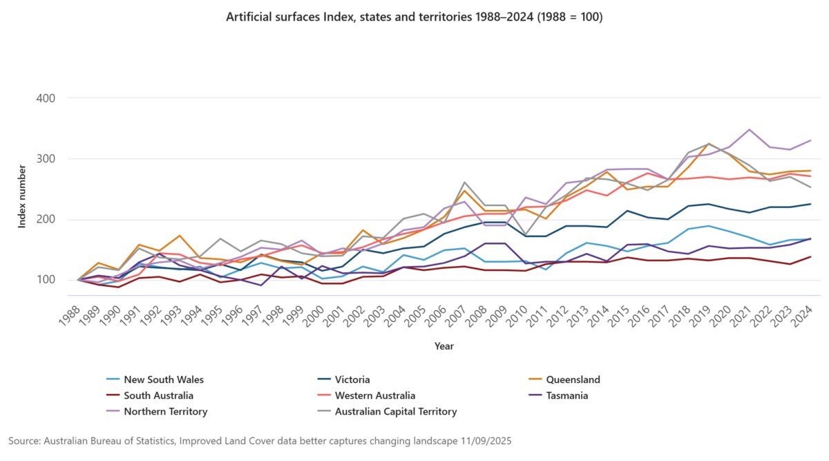
“While artificial surfaces make up a small part of the landscape, they have been growing in all states and territories since our records began in 1988,” Fox said.
Since 1988, Victoria has seen the biggest buildup, increasing its artificial surfaces by over 90,000 hectares. Of the major states, Queensland and Western Australia have experienced the largest proportionate increase, up 179.8 percent and 171.5 percent, respectively.
Grassland has expanded by 2.4 percent since 2019 and continues to be the dominant land type, covering 44.2 percent of Australia in 2024.