Will This Year’s Hurricane Forecast Be More Accurate?

Will This Year’s Hurricane Forecast Be More Accurate?
(3dmotus's/Shutterstock)
7/11/2016
Updated:
7/11/2016

Scientists are testing a new model for predicting the number of hurricanes that are expected to form during the Atlantic hurricane season, which runs from June 1 to November 30.

When they tested the model by hind casting the number of hurricanes that occurred each season from 1900 to 1949, they found it improved the accuracy of seasonal forecasting for the North Atlantic and Gulf of Mexico by 23 percent.

“You need to look at the historical data to assess today’s risk,” says Xubin Zeng, a professor of atmospheric sciences at the University of Arizona, who helped develop the new model.

For the 2016 season, the researchers’ model predicts eight hurricanes in the North Atlantic, including the Gulf of Mexico and Caribbean Sea, with a range of six to 11. Six is the historical average for Atlantic hurricanes since 1950.

Unlike last year, El Niño played no role in this year’s hurricane prediction, but ocean surface temperatures, as always, did. Surface temperatures over the tropical Atlantic are running warmer than average this year, says Zeng, and that favors hurricane activity.
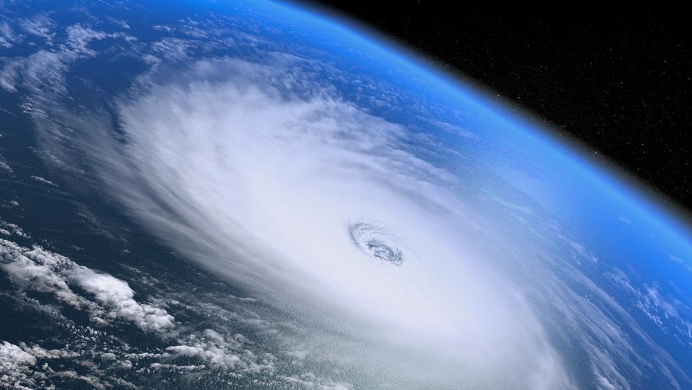
So does weaker than average wind speed over the Atlantic. Weaker winds limit the mixing of the cold, deep waters with the relatively warm, shallower ocean waters. This in turn leads to warmer surface temperatures boosting the likelihood of hurricane activity.

In fact, the latest data point to a more active hurricane season than last.

Short-Term Forecasts

Zeng’s colleague Tom Galarneau, assistant professor in the hydrology and atmospheric sciences department, studies large-scale weather patterns that favor hurricane formation within a one to two-week period.

Like seasonal hurricane forecasting, Galarneau’s medium-range forecasting relies heavily on computational models. And like Zeng, Galarneau is on the lookout for warm surface ocean temperatures, about 80 degrees Fahrenheit, very high relative humidity, and very low wind shear over the Atlantic Ocean.

“In the Atlantic, weak cyclonic circulation systems move out from Africa into the Eastern part of Atlantic,” says Galarneau. “When these systems move over really high sea surface temperatures, thunderstorms begin to form within the area of circulation, and then the thunderstorms themselves can spin up the circulation to form a hurricane.”

One of the challenges of forecasting hurricanes in the short-term is getting a good read on the moisture levels in and around those thunderstorms, says Galarneau, who has a website that assesses the accuracy of the United States global computer model’s forecast.

“The site looks at the forecasts for the past 60 days and assesses how well the model is doing, and if there are problems, where are the problems are coming from,” says Galarneau.

And if there are problems, Galarneau says it’s usually related to how well the model is measuring atmospheric moisture.

“Moisture is the fuel for thunderstorms,” says Galarneau. “And the problem with moisture in the tropics is that it’s hard to measure. A lot of times in the tropics, you get these blobs of moisture that are formed over very warm oceans, particularly in the western pacific. They call it the western pacific warm pool.

“Thunderstorms feed off this moisture, but one of the issues with our numerical model is that it takes all this moisture and quickly rains it out in the first day of its forecast.”

In other words, the model sees the atmosphere as being too dry, when, in fact, it’s full of moisture.

But Galarneau says new weather satellites will soon come online, one before the end of this year, and will provide new data, including more moisture observations, which will help forecasters get a better and faster idea of what the atmosphere looks like.

With that development in mind, Galarneau is beginning to focus on the development of hurricanes in the southwest Caribbean Sea, a haven for high humidity.

“I’m looking at that area because it’s relatively understudied,” says Galarneau. “And 90 percent of storms in that area make landfall. But it takes only one storm to make landfall to cause catastrophic damage.”

Source: University of Arizona