The first major snowstorm of the 2025–2026 season hit the northeastern United States on Tuesday, with nearly a foot of snow expected in some areas.
A coastal low-pressure front “is deepening along the Mid-Atlantic, helping to increase moist flow over the colder air inland and significantly enhance the wintry precipitation across the region,” it said. The winter storm will bring up to one inch per hour, leading to five to 10 inches of snow across the northeastern United States.
“The wintry precipitation should taper off from south to north throughout the day as the low begins to pull away from the coast, with snowfall lingering longest into early Wednesday for New England,” the NWS said.

Schools and government offices closed around the Northeast, with officials citing potentially dangerous road conditions. Dozens of schools around upstate New York canceled classes with six or more inches forecast in some eastern parts of the state. Snow began falling before dawn, making roads slippery during the morning commute.
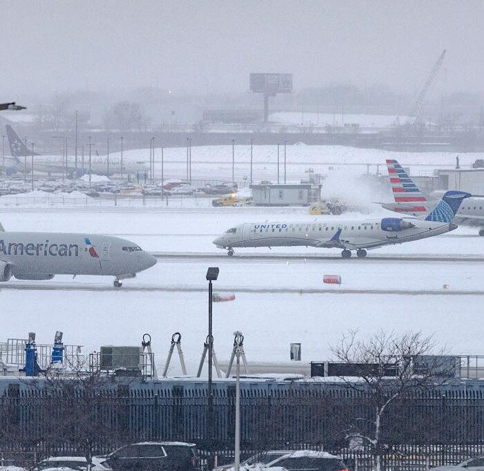
The winter weather arrived days after more than eight inches (20.32 centimeters) of snow fell at Chicago O’Hare International Airport over the weekend. It set a record for a single calendar day snowfall in November at the airport, according to the weather service, eclipsing one set in 1951.
Snow in the Great Lakes region was tapering off, but the new storm was heading toward the mid-Atlantic and Northeast, with up to a foot of snow by Tuesday, the NWS said.
With plowable snow expected to coat large parts of Pennsylvania, crews began to treat lanes along the 565-mile Pennsylvania Turnpike system on Monday, said the agency’s press secretary, Marissa Orbanek.
Vehicle restrictions on many interstates in the eastern half of Pennsylvania, including on the turnpike system’s Northeast Extension, from the Lehigh Valley to Clarks Summit, were imposed at 5 a.m. on Tuesday.