
Tropical Storm Franklin has strengthened into a hurricane and could threaten the U.S. east coast next week as forecasters say it’s set to become a “major” hurricane, the National Hurricane Center (NHC) said Saturday.
Hurricane Franklin was located around 620 miles south of Bermuda, with maximum sustained winds of 75 mph, according to an advisory issued by NHC at 11 a.m. ET on Aug. 26.
Franklin was moving north-northwest at around 7 mph, with the hurricane expected to drift across the western Atlantic through early next week, while gathering strength.
“Steady strengthening is forecast, and Franklin could become a major hurricane early next week,” NHC forecasters wrote in the latest 11 a.m. advisory.
Swells generated by the hurricane are expected to begin impacting Bermuda on Sunday night before threatening parts of the U.S. eastern seaboard.
“These swells are also likely to cause life-threatening surf and rip current conditions late this weekend into early next week along portions of the east coast of the United States,” the NHC forecasters noted.

While hurricane Franklin isn’t expected to make landfall in the United States, NHC warned that the weather conditions produced by the weather system could still be deadly.
Even if Franklin stays offshore, hurricane-force winds could still extend from its center as far as 10 miles outward, while tropical storm-force winds extend out up to 140 miles.
DeSantis Declares Emergency
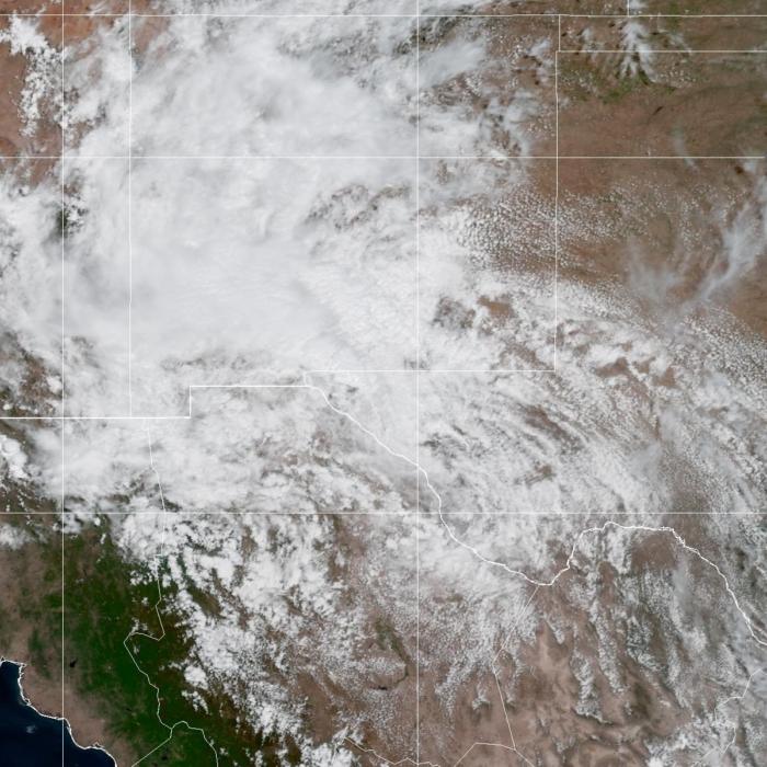
Elsewhere, in the northwestern Caribbean Sea and the eastern Gulf of Mexico, an area of low pressure (dubbed Invest 93L) located near Mexico’s Yucatan Peninsula continued to become better organized.While the weather system has not yet become organized enough to be given a name, Florida Gov. Ron DeSantis has already declared a state of emergency in 33 counties and put emergency management services on alert for a “potential tropical system.”
There’s currently a 90 percent chance that the weather disturbance becomes a cyclone within the next 48 hours, per NHC.
Earlier, Mr. DeSantis directed the Florida Division of Emergency Management to get ready for Invest 93L to strengthen into a tropical storm.
“Residents should remain vigilant and prepare for possible impacts early next week,” he added.
While the NHC expects Invest 93L to develop slowly over the weekend, early models suggest it could make landfall in Florida at some point between Tuesday and Thursday.
“The storm activity continues to gradually become better organized. If this trend continues, advisories will be initiated on this system later today,” NHC said in an Atlantic tropical weather outlook on the morning of Aug. 26.
“The system is expected to move very slowly northward into the southeastern Gulf of Mexico during the next couple of days. Heavy rains are likely over portions of western Cuba and the Yucatan Peninsula of Mexico. Interests in the Yucatan Peninsula of Mexico, western Cuba, and Florida should monitor the progress of this system. The chance of development is high over the next 48 hours,” NHC said.
Rick Knabb, a hurricane expert at the weather channel, said in a post on X that Invest 93L has the potential to strengthen into a number of dangerous weather systems.