
Tropical Storm Chantal has formed off the southeastern coast of the United States and is expected to make landfall along the South Carolina coast on Sunday morning, according to a series of July 5 advisories from the National Hurricane Center.
After remaining nearly stationary overnight, Chantal began drifting northward at about one mile per hour. Forecasters expect the storm to gradually pick up speed and move north-northwest, with landfall likely along the South Carolina coast on Sunday morning.
The hurricane center has extended tropical storm warnings northward to Surf City, North Carolina, as Chantal edges closer to shore. A tropical storm warning is now in effect from South Santee River, South Carolina, to Surf City, North Carolina, indicating that tropical storm conditions are expected somewhere within that area within the next 12 to 24 hours.
A tropical storm watch remains in effect from Edisto Beach to South Santee River, South Carolina, where tropical storm conditions are possible within the next 12 hours.

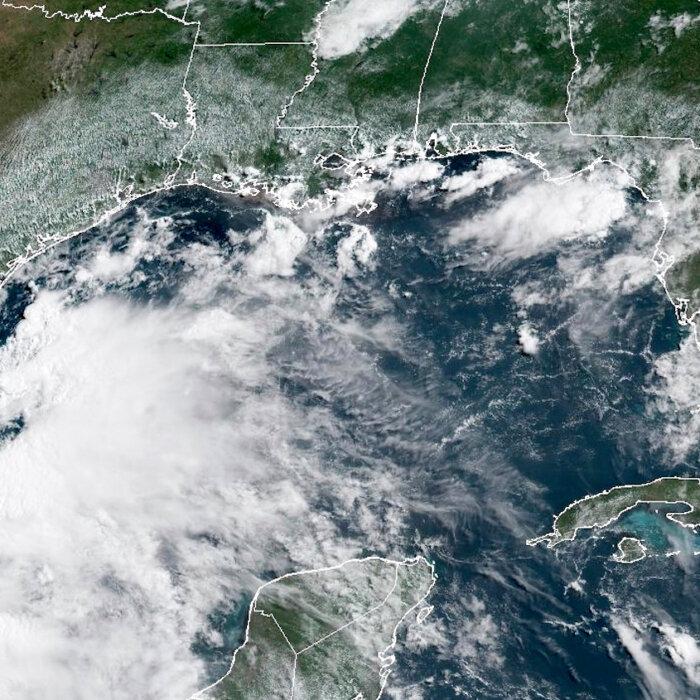
“Chantal is expected to bring life-threatening surf and rip currents along the coast from northeastern Florida to the Mid-Atlantic states during the next couple of days,” NHC forecasters said. “Beach-goers should heed the advice of lifeguards and local officials.”
Chantal is the third named storm of the 2025 Atlantic hurricane season, coming after Andrea and Barry, which both formed in June.
“This was a classic example of homegrown development, by which a tropical storm formed close to the southeast Atlantic coast and in an area where it is typical for July,” AccuWeather Lead Hurricane Expert Alex DaSilva said in a report.