A no-name storm has begun to deliver high winds and flooding across the East Coast throughout the holiday weekend.
“The combination of strong onshore winds, high surf, and high astronomical tides will likely lead to major coastal flooding in the Mid-Atlantic, especially along the coasts of Delaware, southern New Jersey, and the Virginia Tidewater,” the center stated on the morning of Oct. 11.
“This would flood roadways and could affect some homes and businesses near the waterfront. Coastal residents are urged to heed warnings and follow guidance.”
Extra high tidal flooding was already reported in Charleston on Oct. 10. That morning’s high tide reached nearly eight-and-a-half feet, the 13th highest recorded in Charleston Harbor in more than 100 years. Three dozen roads were closed due to the flooding.
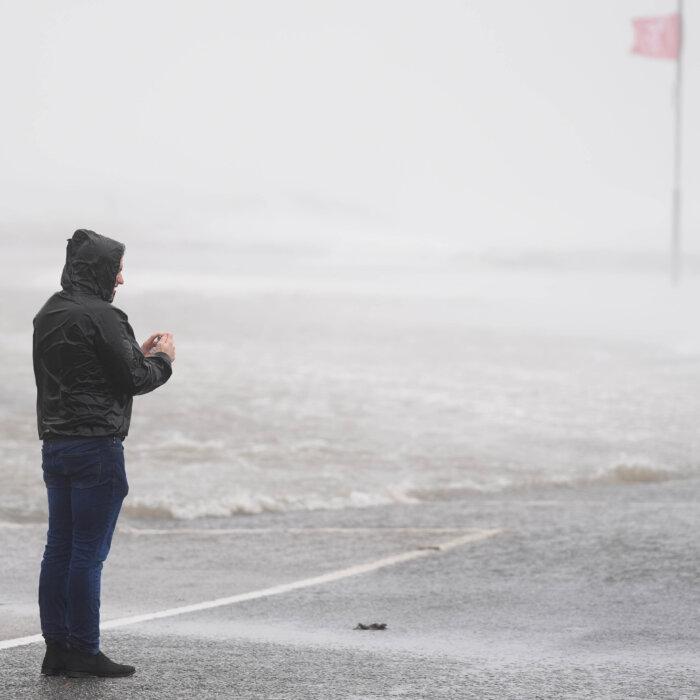
Meanwhile, high surf conditions were expected across northeast beaches, and North Carolina’s Outer Banks were prepared for yet another round of storm surge and tropical-force winds.
Officials warned that the islands’ main roadway, NC 12, would have to close yet again because of overwash. Locals have been working to reinforce seaside homes, 10 of which have reportedly been destroyed by storms in recent months. The last storm to affect the area was Hurricane Erin in August, which never made landfall.
Most of the major flooding, however, is predicted to hit the mouth of Chesapeake Bay, affecting Virginia Beach and the greater Norfolk Metro Area.
On Oct. 12, wind gusts exceeding 55 mph were expected to hit New Jersey, New York, and southern New England.
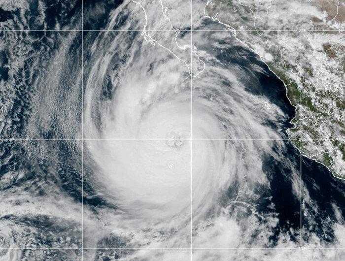
Meanwhile, the Southwest/Four Corners region also faced a multi-day heavy rain and flash flooding event due to a slow-moving trough and the remnants of Hurricanes Priscilla and Raymond from the Pacific Ocean, all predicted to descend upon the area.
“There is a Slight Risk of Excessive Rainfall (level 2/4) covering much of the Southwest north into the Four Corners region today (Saturday), where scattered instances of flash flooding will remain a threat, especially for more vulnerable terrain such as slot canyons and burn scars. The threat will then focus further south on Sunday with a Slight Risk covering southeast Arizona and southwest New Mexico.”
Slight risks of excessive rainwall were expected to continue into the coming week for southwestern Colorado, southwest New Mexico, and southeast Arizona.