The first squalls of Hurricane Idalia began hitting Florida early this afternoon (Aug. 29)—with people in Key West and along the southwest coast its initial recipients.
According to the center, Idalia has increased speed to 15 mph, and its sustained wind speed is around 90 miles per hour.
Its last reported position was about 130 miles west-northwest of Dry Tortugas and about 240 miles southwest of Tampa.
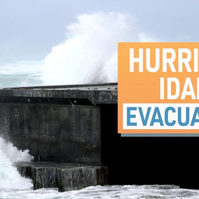
Idalia is expected to make landfall as a Category 3 storm on Florida’s Big Bend Gulf Coast early on Aug. 30 bringing life-threatening conditions across the Gulf Coast.
PIE is expected to reopen by 3 p.m. on Aug. 30, but TPA does not anticipate to resume operations until Aug. 31.
Gov. Ron DeSantis has continued to point out that even though tracking points the storm to the area around Cedar Key have been consistent, hurricanes have a tendency to “wobble.”
“It’s been tracking into the Big Bend area pretty consistently with a little bit of variations,” Mr. DeSantis said at an 11 a.m. press conference.
“You got to watch how this thing goes and where it can impact,” he said. “It could veer west and hit places like Tallahassee. It could veer further east and end up impacting more directly other parts of the Florida peninsula.
“So just make sure you’re heeding the warnings from your local emergency management officials. Make sure you’re doing what you need to do to keep yourself and your family safe.”
Mr. DeSantis issued a warning to residents that this storm will affect inland areas.
“There are models suggesting that this is going to take more of a westward shift that could bring it into areas like Jefferson and Lyon, and Wakulla area,” he said. “And people have known that this is a possibility, and I know all those counties are making preparations.”
Inland areas in Brevard, Orange, and Osceola counties were added to Mr. DeSantis’ state of emergency order.
While the track has slightly shifted, projections of wind speeds and storm surge remain high.
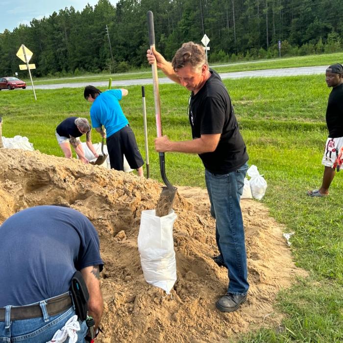
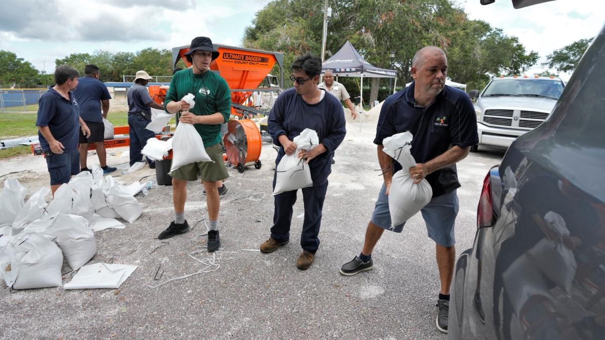
And it is the storm surge that the governor and Florida Emergency Management Division Director Kevin Guthrie warned poses the biggest risk to people now in tropical flood zones. They are in low-lying areas of 22 coastal counties and are under orders to evacuate.
“You run from the water, and you hide from the wind. You’re there in that storm surge area, you’re putting your life in jeopardy when it gets to be that high. So, if you’re given those orders, please heed those orders.”
Storm surge is now predicted to be as high as 15 feet, with the entirety of the Big Bend and Nature Coast expected to receive more than 7 feet of storm surge.
“You’re not going to win that battle. If you decide to stay behind for that,” he said. “All these counties have opened up shelters. You can go stay with friends, family. I know there’s deals on hotels.
“You still have time to do that if you’re in this Big Bend area, but time is running out very, very rapidly.”
The governor, who has suspended his GOP presidential campaign to lead the state’s disaster response, said more than two dozen shelters are open along Florida’s Gulf Coast with more readying to shield residents opening through the day.
“You do not have to leave the state” to escape the storm, Mr. DeSantis said. “You don’t have to drive hundreds of miles to get to higher ground and a safe structure. You can ride the storm out there, then go back to your home once the storm passes.”
State Set to Bear the Blow
Mr. DeSantis declared states of emergency in 46 of Florida’s 67 counties on Aug. 27.President Joe Biden designated that 46-county swath to be in a federal state of emergency on Aug. 28.
The governor has activated Florida’s “full” 5,500 National Guard force, enacted mutual aid pacts that have 25,000 linemen from throughout the Southeast already in the state—with at least 15,000 more on-call—assembled 580 urban search-and-rescue team members, staged 33 ambulance strike-teams with more than 200 ambulances, readied 750 Starlink internet devices for deployment, closed toll-collecting booths on state turnpikes, and bunkered more than 400,000 gallons of fuel.
By the end of the day, Mr. DeSantis said at an 11 a.m. press conference, the number of linemen who would have arrived in Florida would be 30,000 to 40,000.
Coming from as far away as Nebraska, he said they will be stationed in staging areas as far south as Tropicana Field in St. Petersburg, as far north as the Florida-Georgia state line, and as far west as Chipley in the panhandle.
“Rapid restoration of power,” he said, was the ultimate goal.
Classes in 42 school districts, 16 colleges and seven universities have been canceled at least through Aug. 30, Navy ships have left Mayport near Jacksonville for the open sea, and Tampa and St. Petersburg/Clearwater airports closed.
Florida Department of Transportation (DOT) Secretary Jared Perdue said 671 DOT crew members—including 100 bridge inspectors—are ready to “provide first-responders, supply deliverers, and utility providers the ability to reach communities” in the storm’s wake.
“They’ve been outfitted with plenty of equipment to begin recovery efforts,” he said, including 140 dump trucks, 200 pieces of heavy equipment, nearly 60 pump trucks, “and 1,100 generators staged and ready to be deployed for traffic signals that may lose power.”
Mr. Guthrie said the state’s Division of Emergency Management is working on “461 missions” in requested assistance from cities and counties but said time is running out.
“You will start certainly seeing effects of this in different parts of the state later on today,” Mr. DeSantis said.
“You still have time this morning to be able to make your final preparations if you are in one of those surge areas. If you’re told to evacuate, you have time to do that. But you got to do that now—this is going to be a major hurricane.”
While the projected track can change—Idalia is, after all, a hurricane—the governor noted projections continue to tick its track westward where landfall would occur in the relatively sparsely populated Big Bend area, where the Florida panhandle grooves into the Florida peninsula.
“We’ve not really had a hurricane strike this area for a long long time,” he said, referring to the Cedar Key Hurricane of 1896 that killed at least 70 people.
“You have to go back to the 1800s to see a path like this and so those coastal areas there have not necessarily been through this before.”