Commentary
The Chinese spy balloon allowed to traverse the United States may have gathered some useful intel, or as Sen. Chuck Schumer (D-N.Y.) stated in a TV interview, it may have been “redundant.” Regardless, it was a further demonstration of the Biden administration’s weakness in dealing with China.
But the threat posed by balloons pales in comparison to the huge strides China has been making in both the number and sophistication of the satellites it is launching at an ever-accelerating rate.
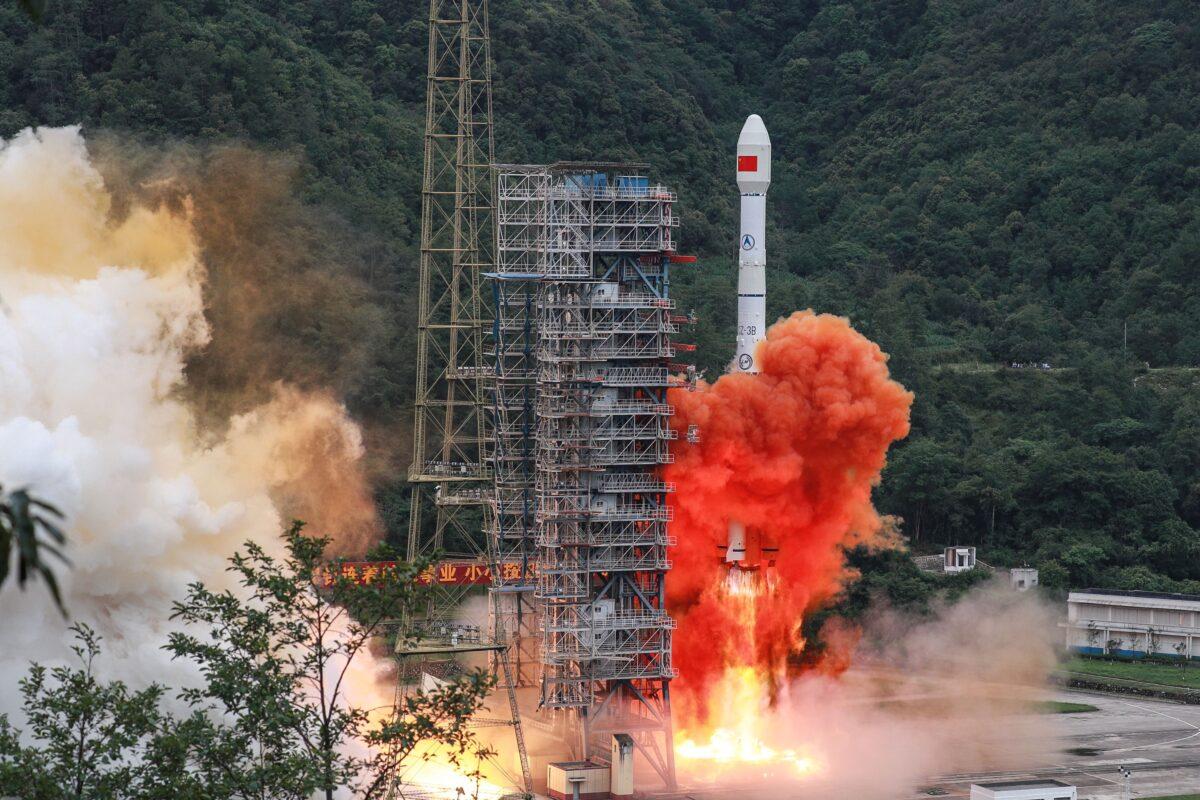
Indeed, in 2022, China made 62 successful launches, breaking its 2021 record of 55 launches. And while the United States had 72 successful launches in 2022, most of those were commercial, with only 30 being military in nature versus China’s 45 military-related launches. And it must be noted that with China’s dual commercial/military use industrial policy, any “commercial” satellite could also be at the beck and call of the Chinese communist military.
One of China’s more recent launches includes the Nov. 16, 2022, launch of four Gaofen 03D satellites that analysts believe will be used both for commercial and military purposes. And in late October last year, Beijing announced that it will be deploying 300 of its highly capable Jilin-1 satellites by the end of 2025, instead of the originally planned 138. The JLIN-1 and Gaofen 03D are just two of the many classes of militarily capable satellites China has rapidly been launching into orbit.
As previously noted, in 2021, China set a new record with 55 launches, four more than the United States’ 51. And many of the launches carry more than one satellite into orbit. Thus, having exceeded the 60 launches planned for 2022, it is likely China put more satellites into orbit last year than the 100 satellites it put into orbit in 2021. The exact number is uncertain due to Beijing’s veil of secrecy surrounding its space militarization efforts.
But it is not just about numbers, as China’s satellites have been rapidly advancing in sophistication and power. In April 2022, researchers in a Chinese peer-reviewed study claimed that they have satellites that can execute real-time precise tracking of U.S. naval assets by capitalizing on the power of new innovative artificial intelligence (AI) algorithms that are 97 percent more efficient than algorithms used by other countries’ satellites.
The same researchers claimed that a Chinese satellite automatically spotted and identified the USS Truman (CVN 75), a Nimitz class carrier, then tracked the Truman and its seven escort vessels while continuously updating Beijing with precise real-time coordinates of the Truman’s location.
If true, this is significant, as the unidentified satellite was presumably able to relay actual information, not just data, through a network of satellites at the speed of light to Chinese military decision-makers. The new algorithms, coupled with specialized hardware, allegedly allow Chinese satellites to process up to 200 high-definition images per second. This kind of processing power gives Chinese satellites the capability of identifying ships and other vehicles in near real time. Previously, satellites would have to come in range of ground-based stations and download the data for image processing by ground-based computers. This whole process was far from real time, and by the time it was completed, ships could be tens of miles from where they were first spotted. The onboard, near real-time processing changes the game, greatly increasing their satellites’ commercial and military utility.
Other capabilities recently showcased by China include the vastly upgraded ability of the Beijing-3 satellite to quickly change camera orientation without loss of image quality more quickly than any other satellite to date. The Beijing-3’s nimbleness and wide scanning angle allow it to perform imaging feats unmatched by other satellites, such as requiring just one north-to-south fly-by to image the entire 3,900-mile-long Yangtze River.
And China just went public with the same Jilin-1 class satellite allegedly following and tracking a plane that many believe to be an F-22. This new software-enabled capability comes courtesy of recently upgraded AI that improves the Jilin-1’s precision in identifying small objects—such as planes in the air or vehicles on the ground—by 95 percent, a seven-fold increase in accuracy over the previous technology. That this capability is found in an inexpensive, small 200-pound “commercial” satellite is both impressive and concerning as, with a single rocket launch, China can put many of these satellites into low Earth orbit.
China currently has 70 JLIN-1 satellites in orbit, with plans to have 138 in orbit by 2023 and 300 in orbit by 2025. Of course, along with commercial applications, the network of JLIN-1 satellites will also function as highly versatile spy satellites.
‘Kill Chain’: A Potential Game Changer
Collectively, the recently revealed capabilities have major implications. One immediate implication is that the ability to scan vast spans of the ocean to automatically detect and identify ships, and then provide real-time targeting of those ships to China’s missile launch facilities significantly improves China’s ability to initiate and maintain the kind of “kill chain” necessary to successfully attack carriers and other ships maneuvering at sea.
This kind of real-time, space-based capability strengthens all four steps in the “kill chain”—find, fix, target, and hit. But this is only part of the equation. Along with being able to establish and maintain a “kill chain,” you need to have a weapon that can take advantage of the “kill chain.”
Unfortunately, in late 2020, China demonstrated the ability of two of its hypersonic anti-ship ballistic missiles (ASBMs)—the Mach 10 DF-21D and the Mach 18 DF-26B—to hit a moving vessel. This demonstration by hypersonic missiles, often described as “carrier killers” with ranges from 1,000 miles to over 2,000 miles, was an unpleasant revelation for Western analysts who were skeptical that China’s missiles had the terminal maneuvering and guidance necessary to hit maneuvering ships.
Still, the ability to hit a moving ship when you know where it is and have been able to pre-position tracking and targeting assets is a far cry from successfully tracking and targeting maneuvering enemy combatant ships hundreds of miles away. So while the alarm was raised by Western analysts, including the Congressional Research Service, that the successful test represented a major threat upgrade, there was still the belief that the United States could make it very difficult for China to establish and maintain a long-distance “kill chain” on U.S. Navy vessels. However, the demonstrated terminal maneuvering ability, combined with a much-improved ability to establish and maintain a “kill chain” via satellite, significantly changes the equation to the detriment of U.S. naval forces.
The timing of China publicly revealing significant improvements in its ability to initiate and maintain a carrier “kill chain” via satellites in a time of heightened tensions around Taiwan is no coincidence. Indeed, China chose to be maximally provocative by using a U.S. carrier and what could be an F-22 to illustrate the afore-described advances. China could have kept such advances secret, but that would be of no advantage to Beijing unless it is planning on going to war with the United States and actually trying to deal a major blow to U.S. naval forces. This seems unlikely, as China sees no profit in going to war with its biggest market, which is also its biggest supplier of capital and the stolen intellectual property that has been the foundation for modernizing China’s military. Consequently, Beijing’s best course of action was to fire a metaphorical shot across the bow of the United States as a warning that bringing its carriers in close enough to protect Taiwan’s thriving democracy will be putting them in serious jeopardy.
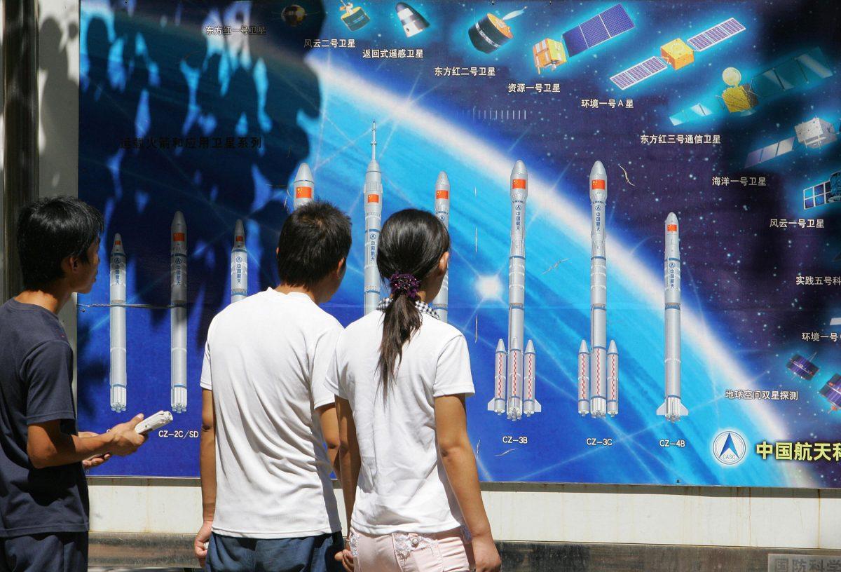
The rapid advances China is making in both the number of satellites and the sophistication of those satellites is an example of Beijing’s ambitious efforts to achieve civil-military integration (CMI) and military-civil fusion (MCF) through the development of advanced dual-use technologies. These closely related initiatives are central to Chinese leader Xi Jinping’s goal of becoming the global science and tech superpower, surpassing the United States and Europe in both areas. So while many of the hundreds of satellites launched by China over the last few years are classified as civilian and will be used for commercial purposes, they were also designed to be used by China for military purposes.
The CMI and MCF initiatives, coupled with the Chinese regime’s ongoing success in stealing and coercing hundreds of billions of intellectual property per year from the United States and Europe, has allowed China to close the gap in many key areas of military technology, and in some cases surpass the United States. While the United States still has many more satellites in orbit than China, 2,944 versus 490 as of Jan. 1, 2022, on average, U.S. satellites are older, with many nearing the end of life. In comparison to the United States, China’s satellites, on average, are newer and more capable, and the vast majority have been designed with specific military uses in mind.
The March 30, 2020, U.S.-China Economic and Security Review Commission report, “China’s Space and Counterspace Capabilities and Activities,” concludes that “China’s zero-sum pursuit of space superiority harms U.S. economic competitiveness, weakens U.S. military advantages, and undermines strategic stability. In short, it represents a threat to U.S. national security. “
The State of the Space Industrial Base 2022 report by the Defense Innovation Unit of the United States Space Force states, “Our [the United States] advantage continues to slip, with one prominent expert concluding that, absent serious changes, the U.S. may likely lose space superiority to China within the next decade, or by 2032.”
There is no doubt that communist China is committed to surpassing the United States in military technology, including space-based technology. But the answer cannot be to simply spend more money. Indeed, the United States already spends roughly three times what China spends on defense annually, and yet has seen China rapidly close the gap in military power, with its navy actually surpassing that of the United States in terms of the number of vessels and being well on its way to matching or exceeding it in total displacement by 2030.
Instead, the answer must be built around major disruptive defense procurement reform that recognizes that since the 1970s, taxpayers have been getting increasingly less bang for their defense dollar. Without such major disruptive defense reform, the United States will continue to lose ground to China as taxpayers and their grandchildren continue to fund multi-billion-dollar weapon systems that come in over budget, are delivered many years later, and do not perform to originally contracted standards.