NSW Residents Warned to Avoid Floodwater

NSW Residents Warned to Avoid Floodwater
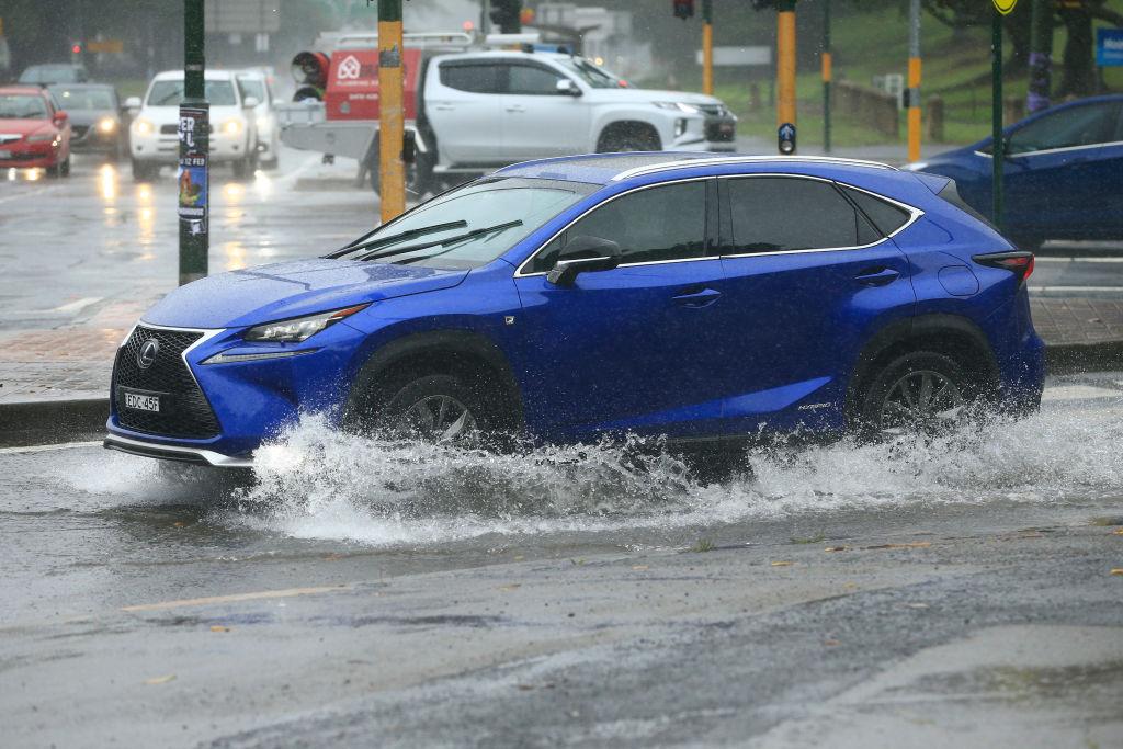
Cars travel through flooded roads on February 09, 2020 in Sydney, Australia. (Mark Evans/Getty Images)
AAP
By AAP
10/28/2020
Updated:
10/29/2020

Drivers are being warned that persistent, heavy rain pelting NSW will reduce visibility on the roads, making conditions dangerous.

The Bureau of Meteorology says another low pressure system will hit southwestern NSW on Oct. 29, with the trough forecast to deepen on Friday.
“Severe thunderstorms are likely to produce large hailstones, damaging winds and heavy rainfall that may lead to flash flooding in the warning area,” it said.

“The low will move east during Saturday, bringing showers and thunderstorms to many areas. Conditions are expected to ease later Sunday as the low moves away to the east,” the BOM said.

It’s predicting showers and possible thunderstorms across the east and south and central parts of the coast and adjacent ranges.

A severe thunderstorm warning has been issued for for Lismore, Grafton, Coffs Harbour, Armidale, Orange, Tamworth, Moree and Dubbo.

The NSW State Emergency Service (SES) is warning residents not to drive, walk or ride through flood water in the event of flash flooding, as it can contain chemicals, garbage and sewage.

“Floodwater can wash out roads that once lay underneath and just 15cm of water can start to float a small car,” an SES spokesman told AAP.

Rain is expected to develop or return to a number of regions in coming days, including Sydney and the Central Coast.

BOM meteorologist Gabrielle Woodhouse said showers and the chance of thunderstorms would continue across much of the state, except the north into the weekend.

“As we move into Friday we'll see another system that’s going to enter the west of the state—and that’s going to bring renewed thunderstorm activity, particularly across the southern inland on Friday and then across much of the state on Saturday,” she said.

“But once we get into the new week, we'll start to see those showers and storms easing up, particularly over inland areas where we’re looking at dry conditions.”