BOSTON—A powerful, fast-moving storm swept through the northeastern U.S. Thursday, making for a slippery morning commute and leaving some residents bracing for blizzard conditions and more than a foot of snow.
Commuters in the densely populated region awoke to windblown snow—less than 24 hours after enjoying spring-like temperatures—and faced slick highways. Forecasters said Thursday’s weather had the potential to be the most powerful storm that some areas have seen in a mostly snow-free winter.
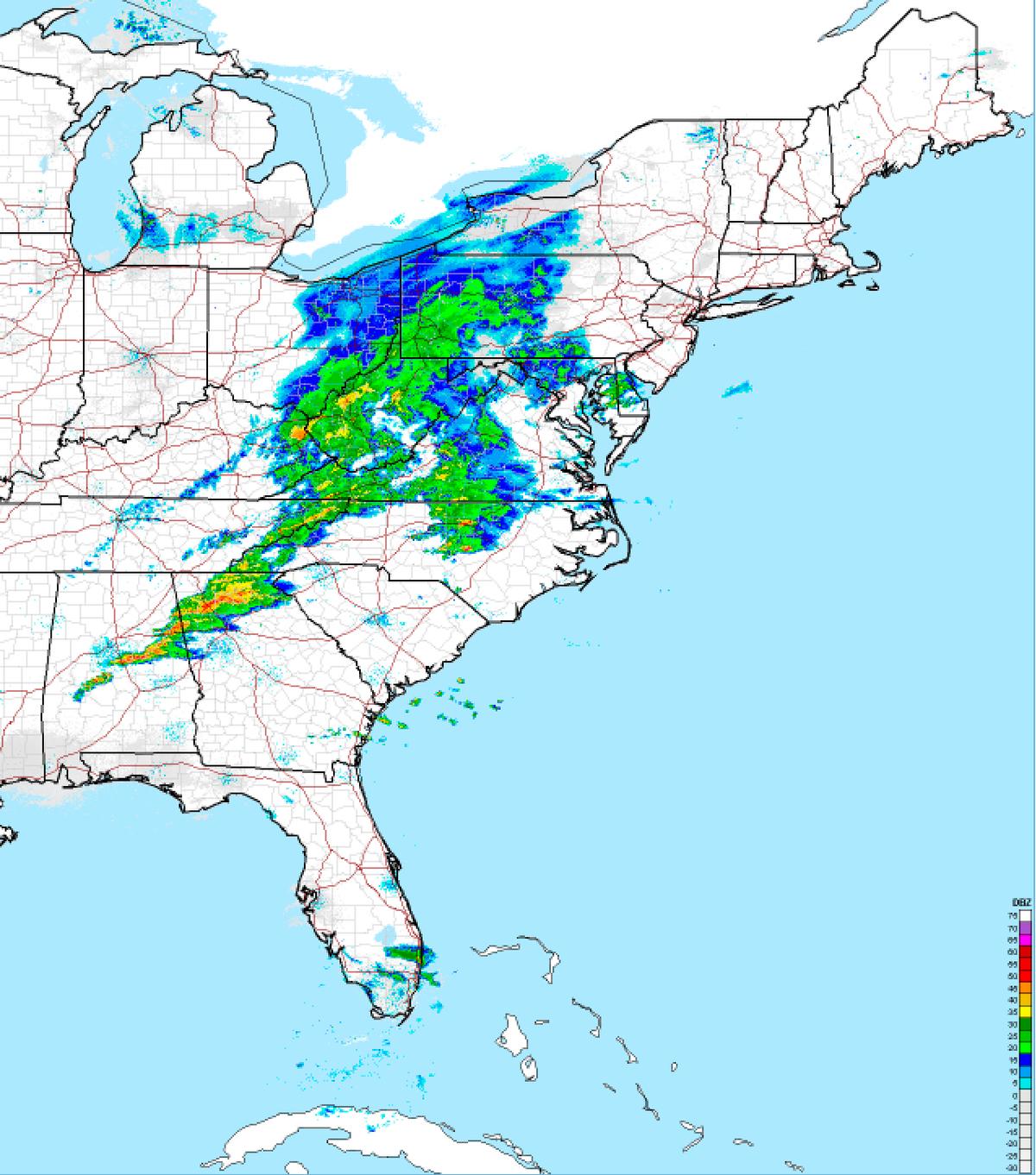
The National Weather Service predicted that the Boston area and eastern Maine could get 12 to 18 inches of snow, and a blizzard warning has been issued for all of Long Island until 6 p.m. New York City could see 8 to 12 inches and the Philadelphia area 4 to 8 inches. Near whiteout conditions were possible, with the snow expected to fall at a clip of 2 to 4 inches per hour at its peak.
Massachusetts activated its emergency management bunker in Framingham, where Gov. Charlie Baker was scheduled to provide updates on the storm at midday. Baker urged people to stay off the roads to allow plows and sanders to do their work.