Miami started to look like the lost city of Atlantis on Sunday, Sept. 10, as torrential flooding was reported on downtown streets.
Streets became rivers as Hurricane Irma brought storm surges.

Flooding was reported at around 1 p.m. Sunday after meteorologists had warned for days that Irma would strike Miami.
But instead, the storm went over northern Cuba and headed north along the western Florida coastline. It hit Tampa Bay on Sunday night.
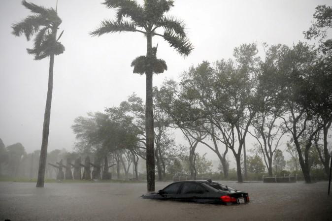
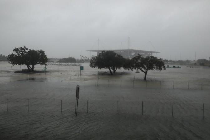
However, the storm still sent storm surge waters into Miami.
Irma’s winds also toppled a crane that sat atop a building.
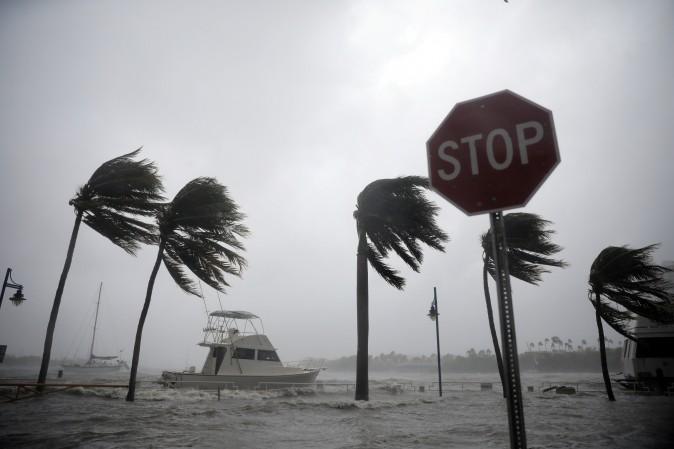
Hours after barreling across the resort archipelago of the Florida Keys, the storm crept up the western shore of the Florida Peninsula to make a second landfall at Marco Island around 3.35 ET, about a dozen miles south of the upscale beach town Naples on the Gulf of Mexico.
Irma’s eye wall came ashore not long after it was downgraded from a Category 4 to a Category 3 storm on the five-point Saffir-Simpson hurricane scale, with maximum sustained winds of 120 mph.
Forecasters warned that Irma remained extremely dangerous as the monster storm toppled trees and power lines, peeled tiles off roofs, and threatened coastal areas with storm surges of up to 15 feet. Tornadoes were also spotted through the southern part of the state.
Reuters contributed to this report.