Improved Tsunami Warning Service Commences OctoberThe latest in an improved tsunami warning system will be installed in October for countries in the Indian Ocean.SavePrintRaiatea Tahana-Reese6/24/2011|Updated: 10/1/2015 We had a problem loading this article. Please enable javascript or use a different browser. If the issue persists, please visit our help center.
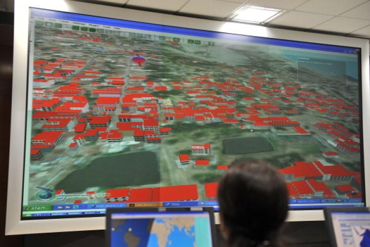
 in Hyderabad on February 4, 2011. (Noah Seelam/AFP/Getty Images)")