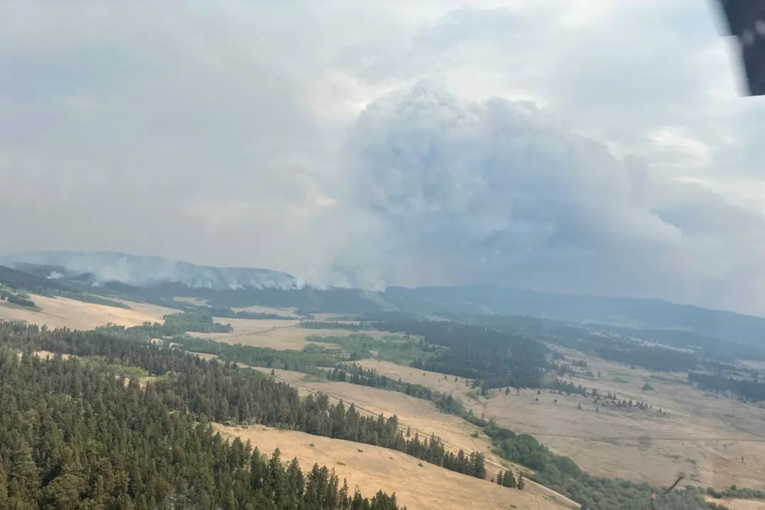
Cooler weather has stalled growth of a huge wildfire in northeastern British Columbia but the BC Wildfire Service says the Donnie Creek blaze remains just two kilometres from the Alaska Highway, southwest of Fort Nelson.
A statement from the wildfire service says travel on the key route linking Yukon and the northeast corner of B.C. to the rest of the province could be affected within a day or two as the nearly 4,900-square-kilometre wildfire expands.
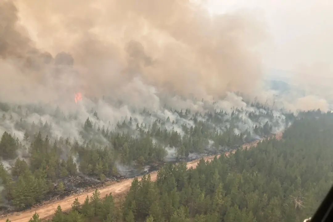
An evacuation alert covers both sides of a section of the highway between Fort Nelson and Fort St. John and the wildfire service says teams are protecting critical infrastructure along the route and could use planned ignitions to create back burns to keep flames away from the road.
Rain has calmed the three large fires in the northeast, including the one that forced 2,400 Tumbler Ridge residents from their homes last week, but conditions remain parched in the region and the Peace River Regional District has not said when the evacuation order might be lifted.
Containment lines are holding around the Vancouver Island wildfire that closed Highway 4 east of Port Alberni on June 6, cutting off paved access to that city and the communities of Tofino and Ucluelet, but efforts to clear fallen trees and rocks are underway and the province has said limited travel could resume by next weekend.
The wildfire-ravaged Fraser Canyon community of Lytton is meanwhile holding a community meeting as it prepares to shed its long-running state of local emergency, allowing most residents to return and consider rebuilding, almost two years after flames engulfed the village.