")
")
")
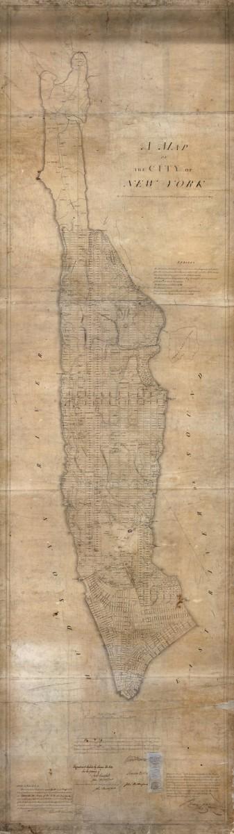
Andrew Haswell Green is responsible for Broadway’s irregular route and the grid’s condition above 155 Street. He designed “a grand thoroughfare,” known as The Boulevard, from 59th Street to 155th Street, complete with a central landscaped pedestrian walkway, to stymie grumblings that the city’s roads were inferior to Europe’s.
Broadway originally ran until 10th Street before merging with Bloomingdale Avenue, which ended at 23rd Street. Pieces of other roads were linked to the road in the middle of the 19th century, including The Boulevard.
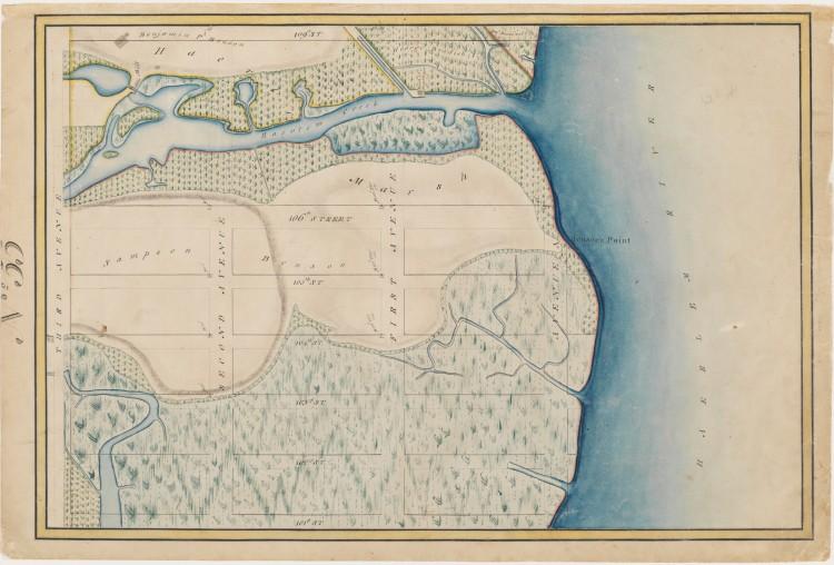
Green sought to preserve parts of Northern Manhattan, forming Inwood Hill Park, among others, and wanted to work with the topography, which is why above 155 Street the grid’s condition becomes suspect.
More behind-the-grid history, including the story behind why Lexington Avenue and Madison Avenue interrupt numbered avenues, can be seen through April 15 at the Museum of the City of New York.