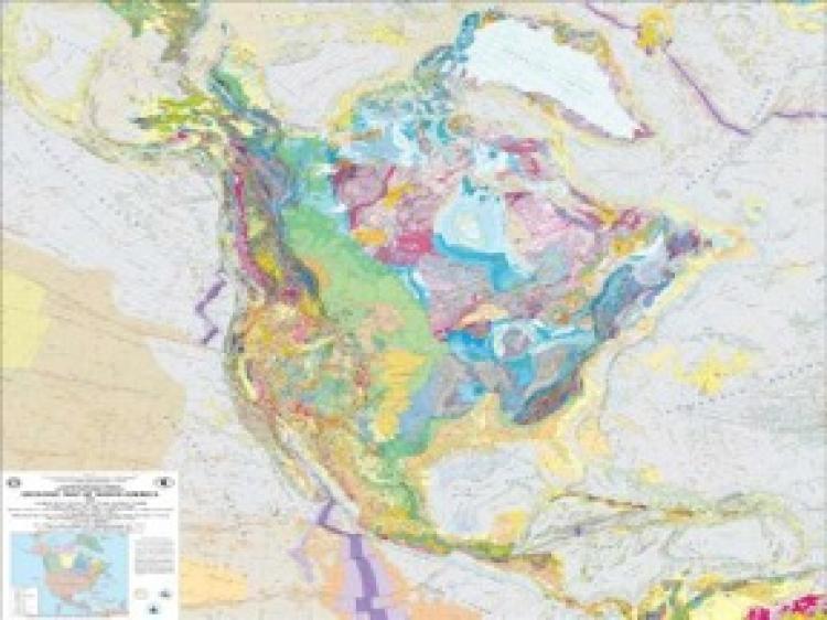
First National Land Cover Map UnveiledA three-tiered land cover map was recently released by the United States Geological Society (USGS), and it is the most detailed of its kind.SavePrintLand Cover Map USGS8/17/2010|Updated: 10/1/2015We had a problem loading this article. Please enable javascript or use a different browser. If the issue persists, please visit our help center.Share this articleLeave a commentRelated TopicsUSGS
")
