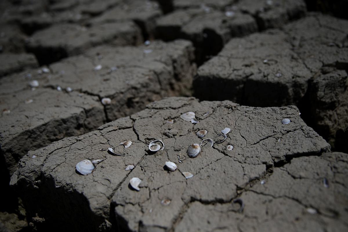
California is undergoing a record-setting drought that began in 2012, the worst in at least 1,200 years. It can be seen in many ways: most of the freshwater reservoirs are drying up, crops are wilting in the fields and groundwater is rapidly depleting.
Whatever definition is used for drought, based on meteorological, hydrological, agricultural or socioeconomic references, all the indicators are showing an extreme situation due to particularly warm and dry conditions. Last year had the lowest calendar-year precipitation on record, leading to acute water shortages, groundwater overdraft to replace the missing rain, critically low stream flow and high wildfire risk.
California and other southwestern states have suffered through multi-year droughts in the past, but how does climate change figure into what’s happening now? Can scientists separate the effect of rising greenhouse gas levels on the current drought from other factors? To answer these questions, we need to consider the meteorological forces that drive California’s weather.
Eye on the Pacific
California’s winter precipitation normally comes from east-traveling North Pacific storms, which are guided by the strong river of wind known as the jet stream. Year-to-year variations in precipitation are affected by a number of factors, including the El Niño cycle of warming Pacific Ocean temperatures as well as long-term oscillations in climate that cause natural variability over decades or hundreds of years. Also at play are normal short-term changes in the atmosphere and the effect of long-term climate change.

