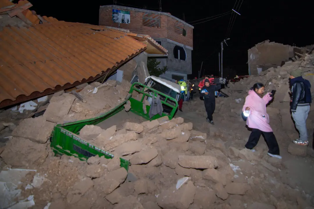
JAKARTA, Indonesia—An undersea earthquake shook part of western Indonesia on Monday morning, but there were no immediate reports of serious damage or casualties.
The magnitude 6.2 earthquake was centered 40 kilometers (25 miles) southeast of Singkil, a coastal district in Aceh Province at a depth of 37 kilometers (23 miles), the U.S. Geological Survey said.
No tsunami alert was issued by Indonesia’s Meteorology, Climatology, and Geophysics Agency.
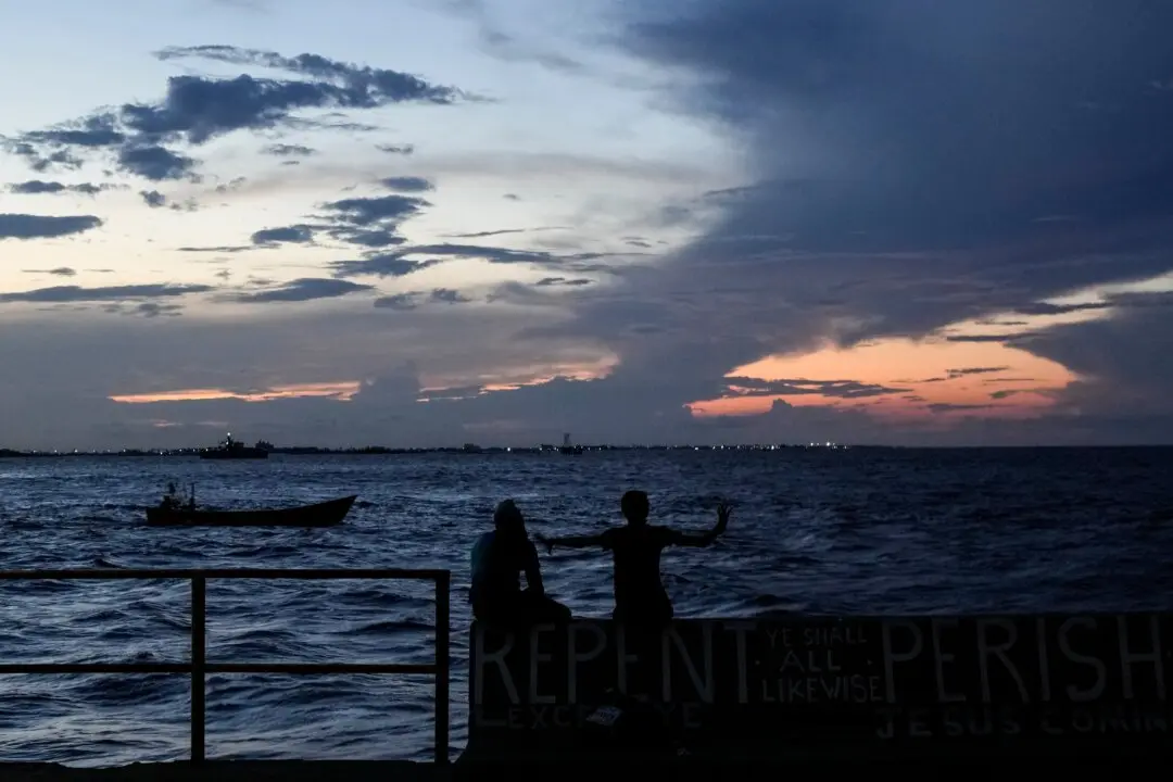
Indonesia, a vast archipelago of more than 270 million people, is frequently hit by earthquakes and volcanic eruptions because of its location on the “Ring of Fire,” an arc of volcanoes and fault lines in the Pacific Basin.
A magnitude 5.6 earthquake on Nov. 21 killed at least 331 people and injured nearly 600 in West Java’s Cianjur city. It was the deadliest in Indonesia since a 2018 quake and tsunami in Sulawesi killed about 4,340 people.
In 2004, an extremely powerful Indian Ocean quake set off a tsunami that killed more than 230,000 people in a dozen countries, most of them in Indonesia’s Aceh Province.