

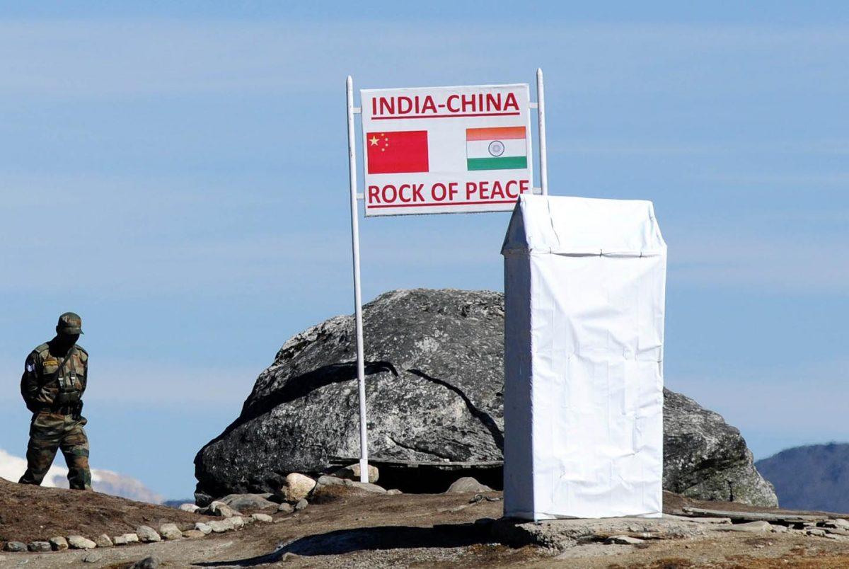
NEW DELHI—China has “standardized” the names of 15 places in Arunachal Pradesh, an Indian state on the border with Bhutan and Burma that the Chinese regime has attempted to claim and aggressively intruded upon for the past few decades.
However, Indian Foreign Ministry spokesperson Arindam Bagchi said that assigning invented Chinese names to locations in the state won’t alter the fact that Arunachal Pradesh is and always will be an “integral part” of India.
India has governed Arunachal Pradesh since 1954, when the area was established as the North-East Frontier Agency (NEFA) under the British Raj. After the Sino–Indian war of 1962, relations between the two countries deteriorated and border disputes emerged. These have escalated in recent years with the Doklam standoff in 2017 and the bloody clash in the Galwan Valley in 2020.
In 1972, India renamed the NEFA as Arunachal Pradesh, a federally governed territory, or Union territory, and in 1987, it was given the status of a state under the Indian constitution.
However, since 2006, China has claimed the territory and refers to Arunachal Pradesh as “Zangnan,” or South Tibet. On Dec. 29, the Chinese Ministry of Civil Affairs said it had given formal Chinese names to 15 places in “Zangnan.” The announcement came days before China’s new land border law took effect on Jan. 1.
Along with assigning names, the Chinese regime has also set up an administrative structure for the area under Chinese counties and prefectures.
These include Sengkezong and Daglungzong in Cuona County of Shannan Prefecture; Mani'gang, Duding, and Migpain in Medog County of Nyingchi Prefecture; Goling and Damba in Zayu County of Nyingchi Prefecture; and Mejag in Lhunze County of Shannan Prefecture.
‘Lying Maps’
Frank Lehberger, a sinologist specializing in CCP policies in Tibet and a senior fellow at the Indian think tank Usanas Foundation, compared the Chinese attempt with Soviet leader Joseph Stalin’s invention and perfection of “death by cartography.” Stalin personally redrew maps in the Central Asian Fergana Valley to ensure that all former Soviet republics in that region would remain dependent on the Soviet Union and would be shaken by inter-ethnic violence if they tried to declare independence.Lehberger pointed to delimitation exercises, also called “lying maps,” that he said Stalin followed for the purpose of automatically creating civil unrest, in case of a breakup of the Soviet Union.
“Stalin drew those maps of the internal borders in the Soviet Union in such a way that they could not be detangled in case of the collapse of the Soviet Union and that border wars and civil wars would ensue almost automatically,” Lehberger said. “He got his wish. It happened there twice in 1990 and 2010, at the border of Kyrgyzstan and Uzbekistan, as well as in 2008 in Georgia, 2014 in Crimea, and 2021 in Armenia.”
He added that on old and new Chinese maps, or on official lists of place names in Arunachal Pradesh, Itanagar, which is the state capital of Arunachal Pradesh, is nonexistent.
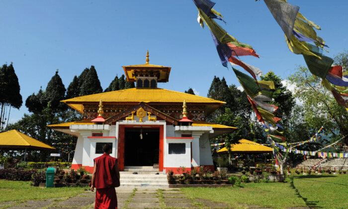
The first batch of six modified names for places in Arunachal Pradesh was given by the Chinese ministry in 2017, in what Indian media called a retaliatory move following a visit by the Dalai Lama. The state is also a seat of Vajrayana Buddhism and houses the four-century-old Tawang monastery, one of the biggest Buddhist monasteries in Asia.
Lehberger told The Epoch Times that China’s attempt to assign names to places in Arunachal Pradesh is a practice that began even before Sun Yuxi’s statement, in the early 2000s.
Lehberger, who has spent years researching Chinese maps of Tibet and Arunachal Pradesh, shared with The Epoch Times a 2005 map from an official Chinese atlas that includes the regime’s “invented names” for areas in Indian territory.
“Here next to the nonexistent Itanagar on the Chinese map, you find only tiny ‘villages’ with fake names like ’Ta-geng-si‘ or ’Duo-li.' Similar sounding Indian place names do not appear anywhere in the vicinity of [the Arunachal Pradesh state capital of] Itanagar on Google Earth,” he said.
By filling in place names in the Indian state, Chinese maps do not “look so empty for ordinary Chinese, who have no clue that since 1962 Arunachal belongs to India,” he said. The CCP can’t admit the existence of Itanagar as a metropolis in so-called South Tibet or Zangnan, because it’s bigger than the “supposed county seat of Cuona” from where the area is “supposedly” being administered.
Neither “Ta-geng-si” nor “Duo-li” is among the 15 or so “standardized” names of places in what China claims as “Zangnan,” but Lehberger said that the 2005 map establishes that those two nonexistent places were already officially sanctioned by the CCP and its map-making departments.
Lehberger pointed out another nonexistent village, supposedly south of the Dafla Range and a few kilometers southwest of the Dikrong Power House. While it’s marked on the 2005 official Chinese map of Tibet as “Wupang,” it doesn’t exist on Google Earth.
“Call it the logic of the Chinese lies,” he said, adding that the “name standardization” is just the communist regime’s way of making those place names public on the international stage, a process it has been working on quietly for more than two decades.
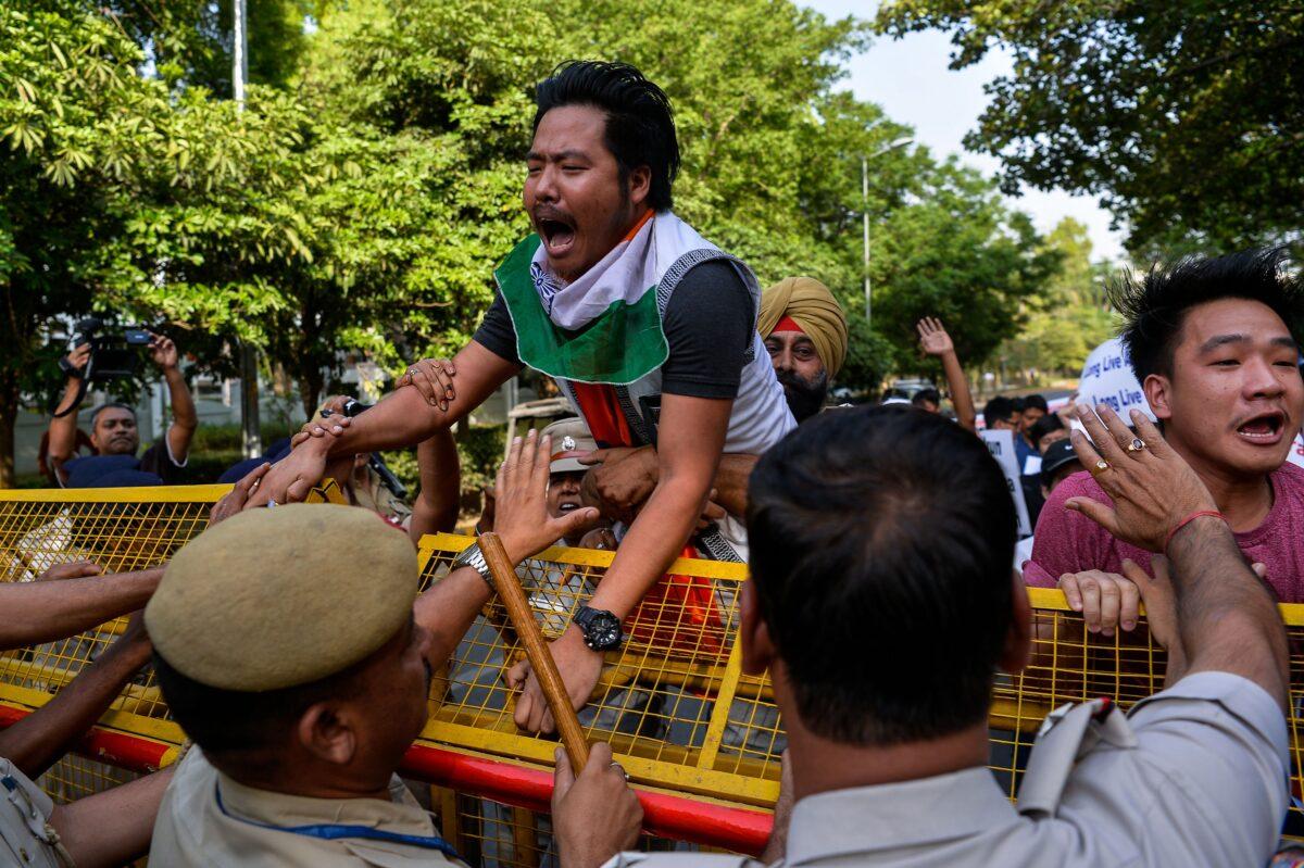
“People in India must wake up to what [the Chinese regime has] been doing already for decades.”
He said the government of India should consider canceling the joint declaration it signed with China in 2003, when it recognized that the Tibet Autonomous Region was a territory of the People’s Republic of China. Doing so would theoretically render “null and void” any Chinese attempt to use its border law to redraw the line of actual control and steal more territory from India. The precedent for canceling such a declaration has already been set—by the Chinese regime itself.
“China in 2020 did unilaterally abrogate an internationally binding agreement on the status of Hong Kong, guaranteed by the U.N.,” he said. “So there is a precedent already and it was initiated by the Chinese leadership.
“This proves that the Chinese government and leadership are not willing to fulfill any international treaty obligations, be it with the UK regarding Hong Kong, or with India. Therefore, India should take this into account.”

Friends Read Free